
Photo: Mehman Ibragimov · Attribution · Wikimedia Commons
MashaveraReport this photo · linked, not stored
MashaveraReport this photo · linked, not stored
 Bolnisi

Photo: Yasuhiro Kojima · CC BY-SA 4.0 · Wikimedia Commons
Marabda ReservoirReport this photo · linked, not stored
Marabda ReservoirMarabda ReservoirReport this photo · linked, not stored

Photo: The original uploader was Otogi at Georgian Wikipedia. · Attribution · Wikimedia Commons
Kumisi lakeReport this photo · linked, not stored
Kumisi lakeKumisi lakeReport this photo · linked, not stored

Photo: Yasuhiro Kojima · CC BY-SA 4.0 · Wikimedia Commons
KrtsanisiskheviReport this photo · linked, not stored
KrtsanisiskheviKrtsanisiskheviReport this photo · linked, not stored
RiverQ’izil-Ajlo, Kvemo Kartli
Mashavera
RiverBest Apr · Sep–Oct
Elevation–above sea level
Length66 kmsource to mouth
Nearest townQ’izil-Ajlo5.6 km
41.44° N, 44.72° EUTC+4 · Georgia Standard Time
When to goQ’izil-Ajlo · weather score
Best timeApr · Sep–Oct
October: high / low21° / 11°
River
Mashavera in brief
Mashavera is a river in Q’izil-Ajlo, Kvemo Kartli, Georgia.
The nearest town in the atlas is Q’izil-Ajlo, 5.6 km to the NE, where the weather is best in April, September and October.
Mashavera is 66 km long.
Weather nearby now
Forecast for Q’izil-Ajlo17°
Rain now
Today
22 Oct
21°
15°
10 mm
Fri
23 Oct
22°
13°
1 mm
Sat
24 Oct
19°
14°
6 mm
Sun
25 Oct
18°
14°
Mon
26 Oct
19°
12°
Model run 00:00 UTCRefreshed several times a day
When to go
Climate of Q’izil-AjloThe best months around Mashavera
Month score in Q’izil-Ajlo
Comfort, dry days and sunshine · out of 10044
Jan
43
Feb
59
Mar
70
Apr
64
May
51
Jun
47
Jul
51
Aug
76
Sep
80
Oct
59
Nov
45
Dec
Map
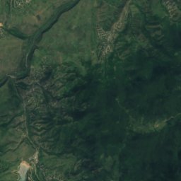
Mashavera from above
Nature nearbyAll of Georgia


Photo: The original uploader was Otogi at Georgian Wikipedia. · Attribution · Wikimedia CommonsReport this photo · linked, not stored
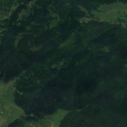
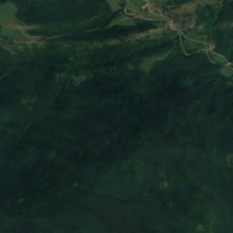
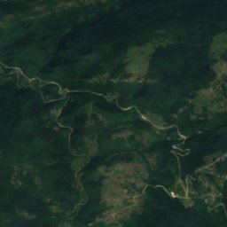
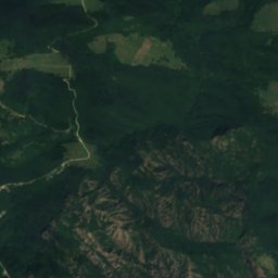
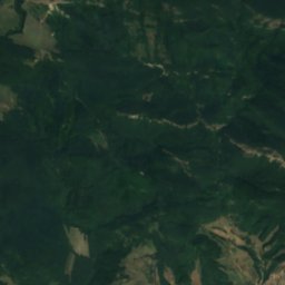
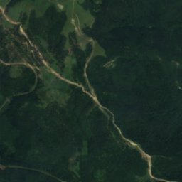
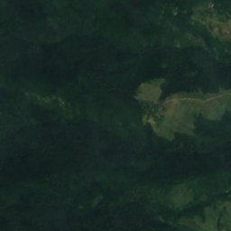
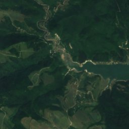
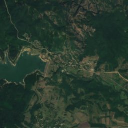
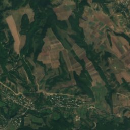
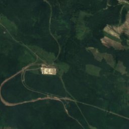
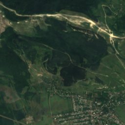
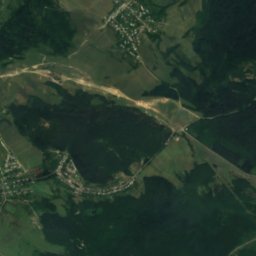
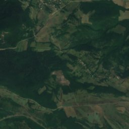
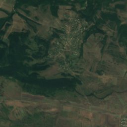
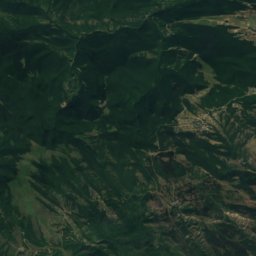
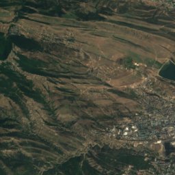
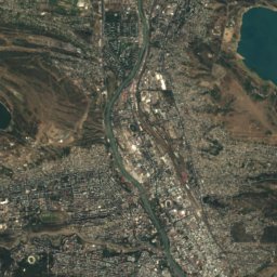
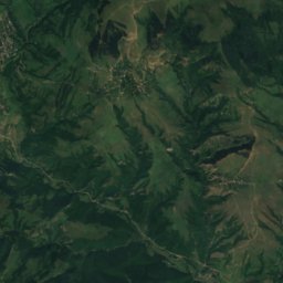
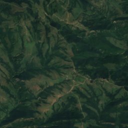
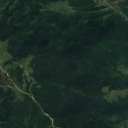
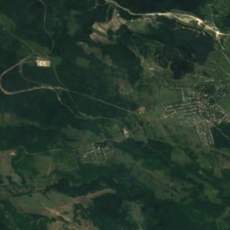
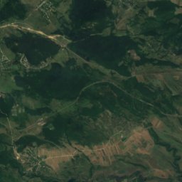
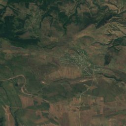
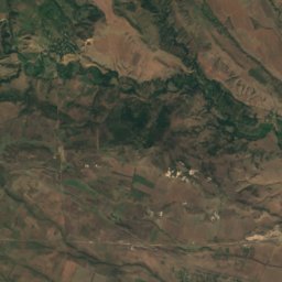
Satellite: Sentinel-2 cloudless 2016 by EOX IT Services GmbH · CC BY 4.0 · Contains modified Copernicus Sentinel data 2016

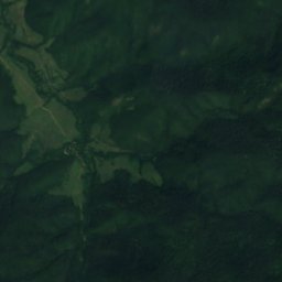
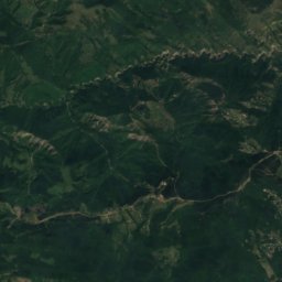
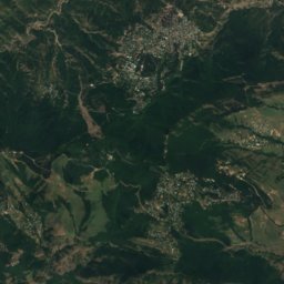
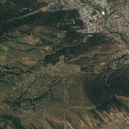
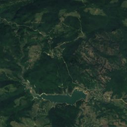
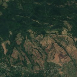
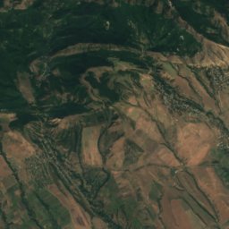
Satellite: Sentinel-2 cloudless 2016 by EOX IT Services GmbH · CC BY 4.0 · Contains modified Copernicus Sentinel data 2016
Summits nearbyMountains of Georgia
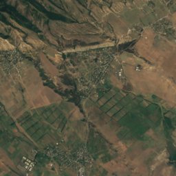
Stay nearby
Towns close by


Around here
Q’izil-Ajlo and around
Nature
Photo: The original uploader was Otogi at Georgian Wikipedia. · Attribution · Wikimedia CommonsReport this photo · linked, not stored
Kumisi lake
Lake · 475 m

Mountains

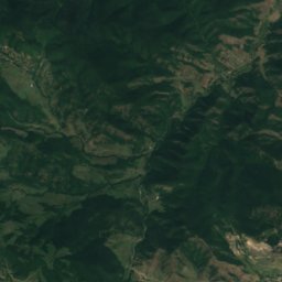
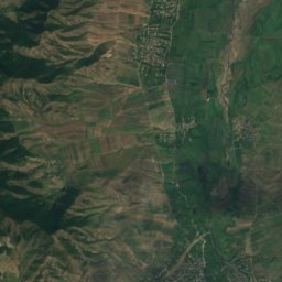
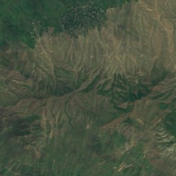
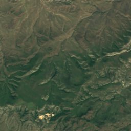
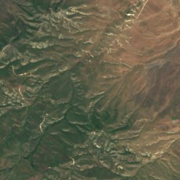
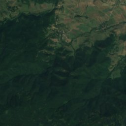
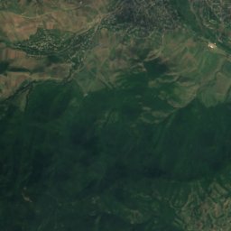
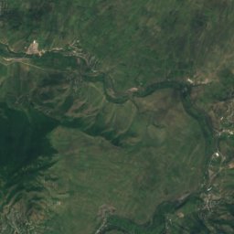
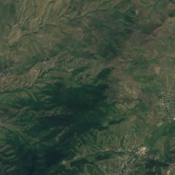
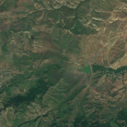
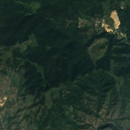
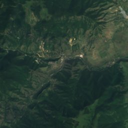
Satellite: Sentinel-2 cloudless 2016 by EOX IT Services GmbH · CC BY 4.0 · Contains modified Copernicus Sentinel data 2016
Tarakan
1,711 m · Gugarats Ridge
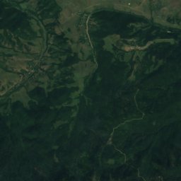
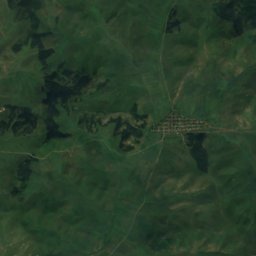
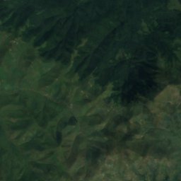
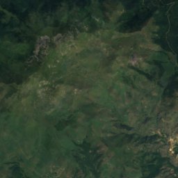
Satellite: Sentinel-2 cloudless 2016 by EOX IT Services GmbH · CC BY 4.0 · Contains modified Copernicus Sentinel data 2016
Arqayanist
1,691 m · Somcheti Range
Heritage


Satellite: Sentinel-2 cloudless 2016 by EOX IT Services GmbH · CC BY 4.0 · Contains modified Copernicus Sentinel data 2016
Kolagiri fortress
Cultural Monuments of National Importance of Georgia

Monument "They will grow even more"
Cultural heritage in Georgia