

Photo: F. Richardt · Public domain · Wikimedia Commons
EgebjerggårdReport this photo · linked, not stored
EgebjerggårdEgebjerggårdReport this photo · linked, not stored
manor houseUggerslev, South Denmark
Kørup
monument on Kulturstyrelsen register
Typemanor house
Built–
Best monthsMay–Julweather in Uggerslev
55.58° N, 10.32° EUTC+2 · Central European Summer Time
When to goUggerslev · weather score
Best timeMay–Jul
October: high / low13° / 7°
iAbout
Kørup in brief
Kørup is a manor house in Uggerslev, South Denmark, Denmark.
It holds the designation monument on Kulturstyrelsen register.
For a visit, the weather in Uggerslev is best in May, June and July; in October afternoons average 13°.
Facts
- Type
- manor house
- Designation
- monument on Kulturstyrelsen register
- Nearest town
- Uggerslev
- Region
- South Denmark
- Coordinates
- 55.57940, 10.32170
iiLocation
Where to find it
iiiWhen to visit
Climate guideWeather in Uggerslev
Month score for sightseeing
Best May–Jul14
Jan
16
Feb
20
Mar
46
Apr
66
May
74
Jun
66
Jul
65
Aug
64
Sep
34
Oct
16
Nov
15
Dec
ivNearby
All monuments in DenmarkMore heritage close by
Around here
Uggerslev and around
Nature


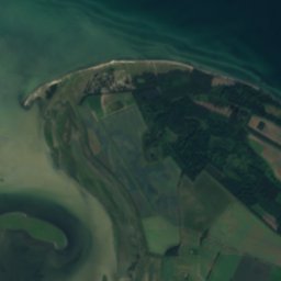
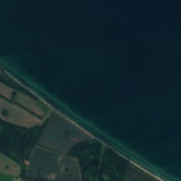


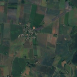

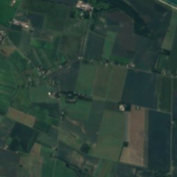
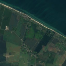

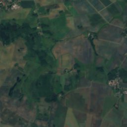
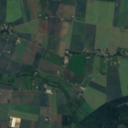

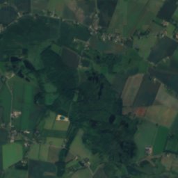
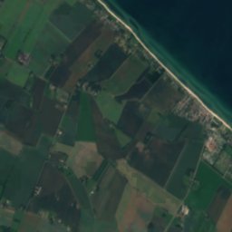
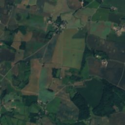
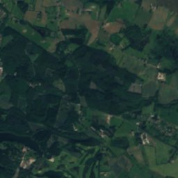
Satellite: Sentinel-2 cloudless 2016 by EOX IT Services GmbH · CC BY 4.0 · Contains modified Copernicus Sentinel data 2016
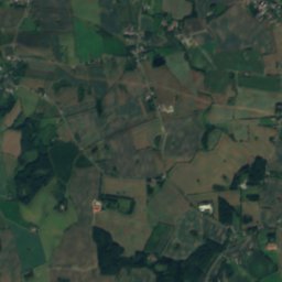
Bechers Sø
Lake

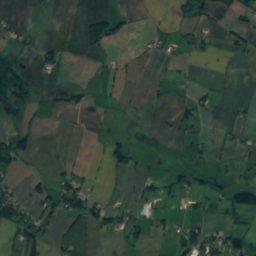
Heritage









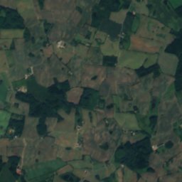
Satellite: Sentinel-2 cloudless 2016 by EOX IT Services GmbH · CC BY 4.0 · Contains modified Copernicus Sentinel data 2016
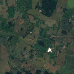
Glavendrup stone
protected ancient monument in Denmark


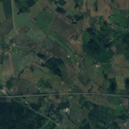
Museums




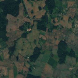
Satellite: Sentinel-2 cloudless 2016 by EOX IT Services GmbH · CC BY 4.0 · Contains modified Copernicus Sentinel data 2016
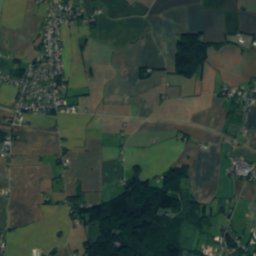
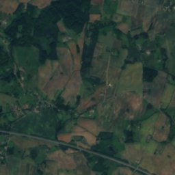
Odins Odense
Open-air museum · 1973








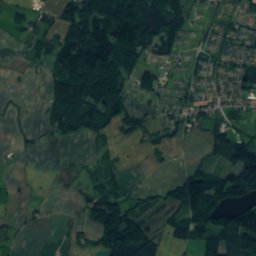
Satellite: Sentinel-2 cloudless 2016 by EOX IT Services GmbH · CC BY 4.0 · Contains modified Copernicus Sentinel data 2016