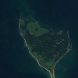








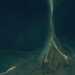

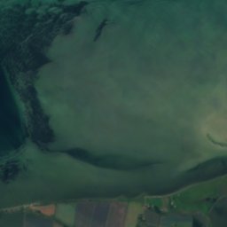
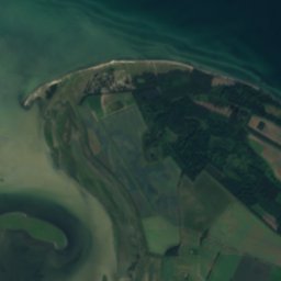
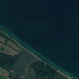




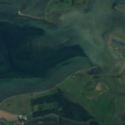
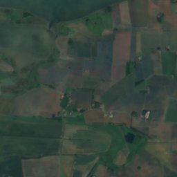
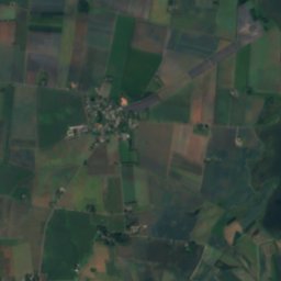
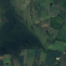


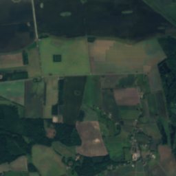
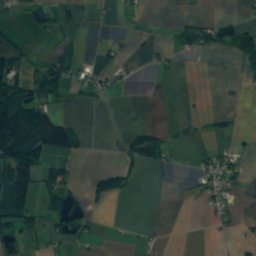
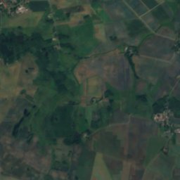
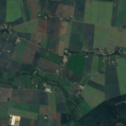
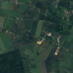
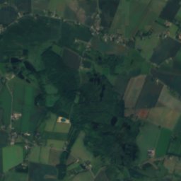
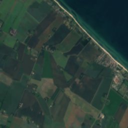
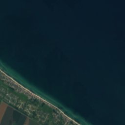

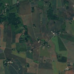
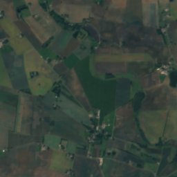
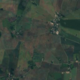
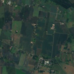
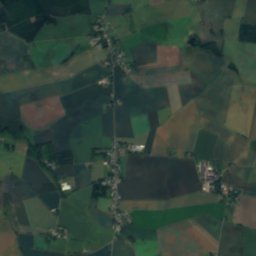
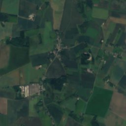
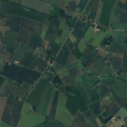
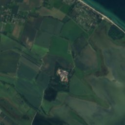
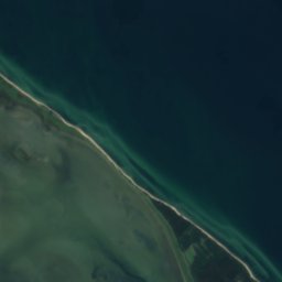
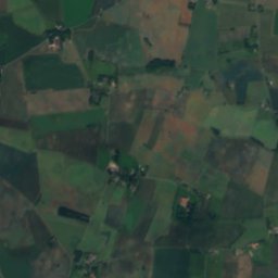
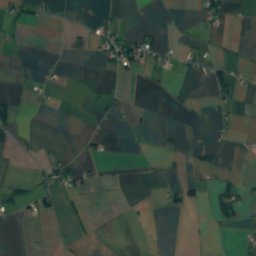
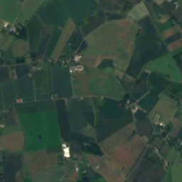
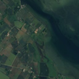
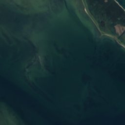
Satellite: Sentinel-2 cloudless 2016 by EOX IT Services GmbH · CC BY 4.0 · Contains modified Copernicus Sentinel data 2016
 Dallund Sø
LakeUggerslev, South Denmark
Bechers Sø
LakeBest May–Jul
Elevation–above sea level
Area–surface
Nearest townUggerslev5.9 km
55.57° N, 10.38° EUTC+1 · Central European Standard Time
When to goUggerslev · weather score
Best timeMay–Jul
October: high / low13° / 7°
Lake
Bechers Sø in brief
Bechers Sø is a lake in Uggerslev, South Denmark, Denmark.
The nearest town is Uggerslev, 5.9 km to the SW, where the weather is best in May, June and July.
Weather nearby now
Forecast for Uggerslev10°
Showers now
Today
25 Oct
12°
8°
16 mm
Mon
26 Oct
14°
9°
1 mm
Tue
27 Oct
15°
10°
2 mm
Wed
28 Oct
14°
8°
Thu
29 Oct
13°
7°
Model run 00:00 UTCRefreshed several times a day
When to go
Climate of UggerslevThe best months around Bechers Sø
Month score in Uggerslev
Comfort, dry days and sunshine · out of 10014
Jan
16
Feb
20
Mar
46
Apr
66
May
74
Jun
66
Jul
65
Aug
64
Sep
34
Oct
16
Nov
15
Dec
Map
Bechers Sø from above
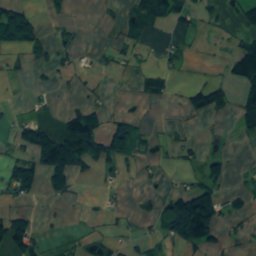
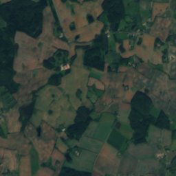
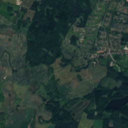
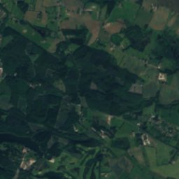
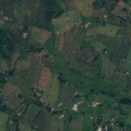
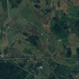
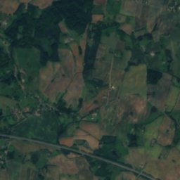
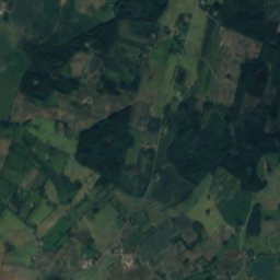
Nature nearbyAll of Denmark





Satellite: Sentinel-2 cloudless 2016 by EOX IT Services GmbH · CC BY 4.0 · Contains modified Copernicus Sentinel data 2016

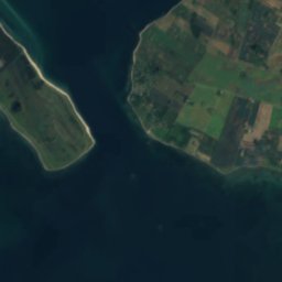
Satellite: Sentinel-2 cloudless 2016 by EOX IT Services GmbH · CC BY 4.0 · Contains modified Copernicus Sentinel data 2016
Satellite: Sentinel-2 cloudless 2016 by EOX IT Services GmbH · CC BY 4.0 · Contains modified Copernicus Sentinel data 2016
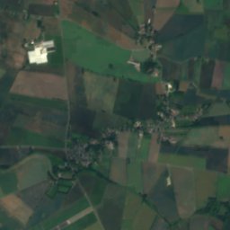
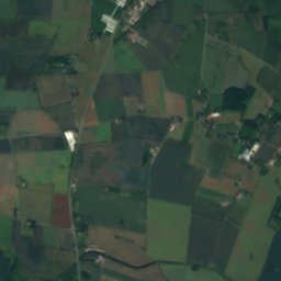
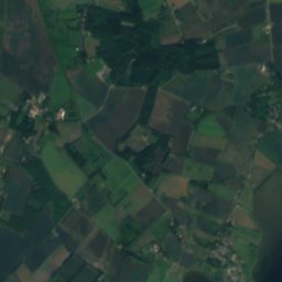
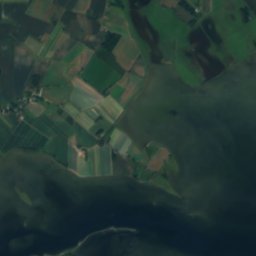
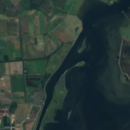
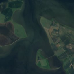
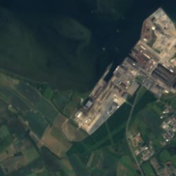
Satellite: Sentinel-2 cloudless 2016 by EOX IT Services GmbH · CC BY 4.0 · Contains modified Copernicus Sentinel data 2016





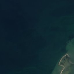
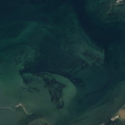
Stay nearby
Towns close by


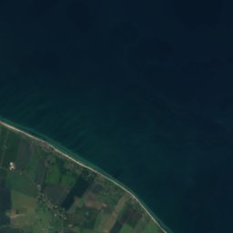
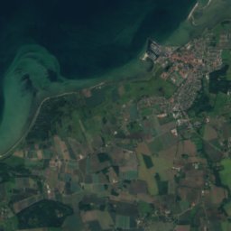
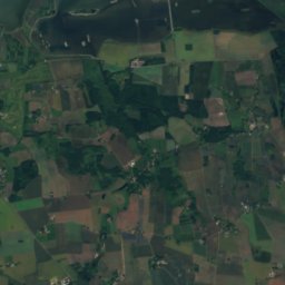
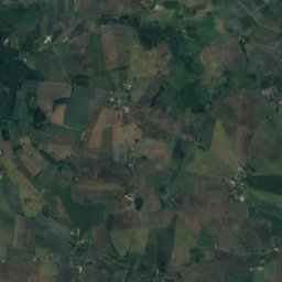
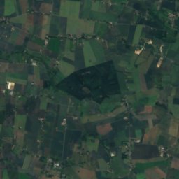
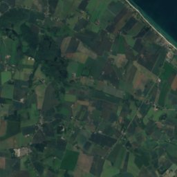
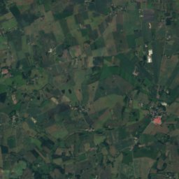
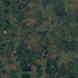
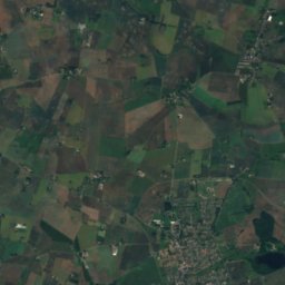
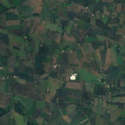
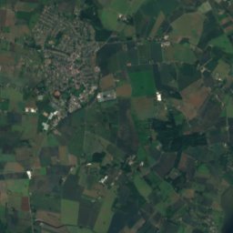
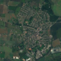
Satellite: Sentinel-2 cloudless 2016 by EOX IT Services GmbH · CC BY 4.0 · Contains modified Copernicus Sentinel data 2016
Skamby
South Denmark · 8.4 km SW
13°Oct high
19wet days
33score

Around here
Uggerslev and around
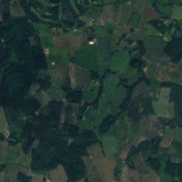
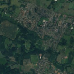
Nature
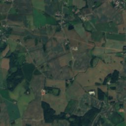
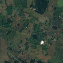
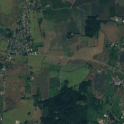
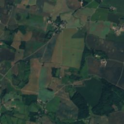
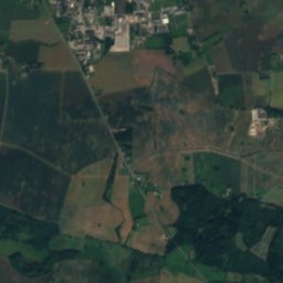
Heritage


Satellite: Sentinel-2 cloudless 2016 by EOX IT Services GmbH · CC BY 4.0 · Contains modified Copernicus Sentinel data 2016
Glavendrup stone
protected ancient monument in Denmark


Museums
Satellite: Sentinel-2 cloudless 2016 by EOX IT Services GmbH · CC BY 4.0 · Contains modified Copernicus Sentinel data 2016
Odins Odense
Open-air museum · 1973



Satellite: Sentinel-2 cloudless 2016 by EOX IT Services GmbH · CC BY 4.0 · Contains modified Copernicus Sentinel data 2016