
Photo: Rodrigo Fernández · CC BY-SA 4.0 · Wikimedia Commons
SolReport this photo · linked, not stored
SolReport this photo · linked, not stored

Photo: Rodrigo Fernández · CC BY-SA 3.0 · Wikimedia Commons
TerremotoReport this photo · linked, not stored
TerremotoTerremotoReport this photo · linked, not stored

Photo: Valeria Flores E · CC BY-SA 4.0 · Wikimedia Commons
Cuartel N.º 1 del SicarReport this photo · linked, not stored
Cuartel N.º 1 del SicarCuartel N.º 1 del SicarReport this photo · linked, not stored

Photo: Felipe Restrepo Acosta · CC BY-SA 4.0 · Wikimedia Commons
Palacio de los Tribunales de Justicia de SantiagoReport this photo · linked, not stored
Palacio de los Tribunales de Justicia de SantiagoPalacio de los Tribunales de Justicia de SantiagoReport this photo · linked, not stored

Photo: Carlos yo · CC BY-SA 4.0 · Wikimedia Commons
Palacio de la Real Aduana de SantiagoReport this photo · linked, not stored
Palacio de la Real Aduana de SantiagoPalacio de la Real Aduana de SantiagoReport this photo · linked, not stored
muralSantiago, Santiago Metropolitan
Sol
Historical Monument of ChileBuilt 1955
Typemural
Built1955
Best monthsApr · Oct–Novweather in Santiago
33.44° S, 70.65° WUTC−3 · Chile Summer Time
Standing for71 years
built 1955today 2026
When to goSantiago · weather score
Best timeApr · Oct–Nov
October: high / low22° / 9°
iAbout
Sol in brief
Sol is a mural in Santiago, Santiago Metropolitan, Chile.
It holds the designation Historical Monument of Chile.
The mural dates from 1955.
For a visit, the weather in Santiago is best in April, October and November; in October afternoons average 22°.
Facts
- Type
- mural
- Designation
- Historical Monument of Chile
- Built
- 1955
- Nearest town
- Santiago
- Region
- Santiago Metropolitan
- Coordinates
- -33.44000, -70.65335
iiLocation
Where to find it
ivNearby
All monuments in ChileMore heritage close by
Photo: Felipe Restrepo Acosta · CC BY-SA 4.0 · Wikimedia CommonsReport this photo · linked, not stored
Palacio de los Tribunales de Justicia de Santiago
0.1 km N
Historical Monument of Chile
Palacio de la Real Aduana de Santiago
0.2 km NE
Historical Monument of Chile
Chilean Museum of Pre-Columbian Art
0.2 km NE
Historical Monument of Chile

Former National Congress Building
0.2 km N
Historical Monument of Chile
Around here
Santiago and around

Nature

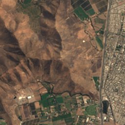
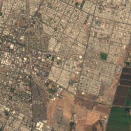
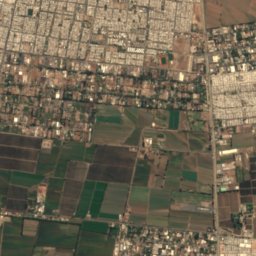
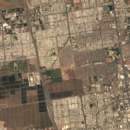
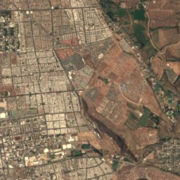
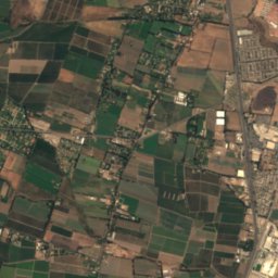
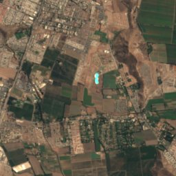
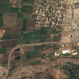
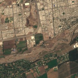
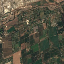
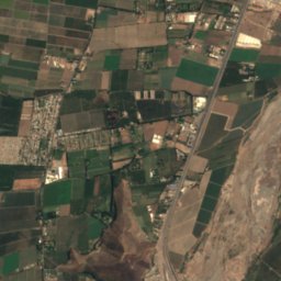
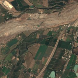
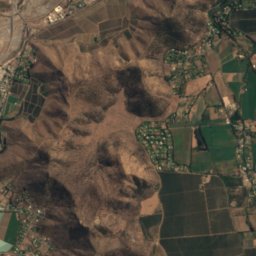
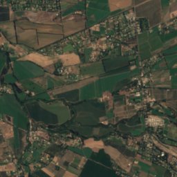
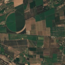
Satellite: Sentinel-2 cloudless 2016 by EOX IT Services GmbH · CC BY 4.0 · Contains modified Copernicus Sentinel data 2016
Rio Clarillo
River
Mountains

Photo: Jason Quinn at English Wikipedia · CC BY-SA 3.0 · Wikimedia CommonsReport this photo · linked, not stored
Cerro Provincia
2,750 m · Sierra de Ramón


Heritage
Satellite: Sentinel-2 cloudless 2016 by EOX IT Services GmbH · CC BY 4.0 · Contains modified Copernicus Sentinel data 2016
Palacio de La Moneda
Tentative World Heritage Site · 1784

Photo: Carlos Figueroa Rojas · CC BY-SA 4.0 · Wikimedia CommonsReport this photo · linked, not stored
Estación Central
Historical Monument of Chile · 1857

Museums

Photo: Carlos Figueroa Rojas · CC BY-SA 4.0 · Wikimedia CommonsReport this photo · linked, not stored
Chilean National Museum of Fine Arts
Art museum · 1880

Photo: Carlos Figueroa Rojas · CC BY-SA 4.0 · Wikimedia CommonsReport this photo · linked, not stored
Chilean National Museum of Natural History
Natural history museum · 1830


