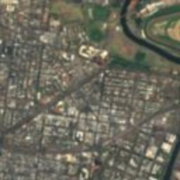
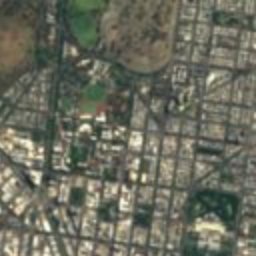
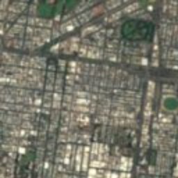
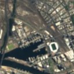
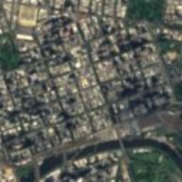
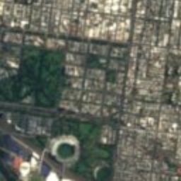
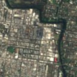
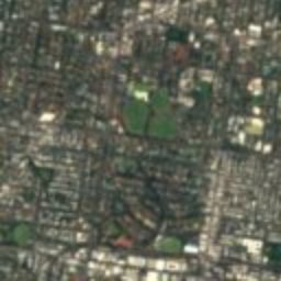
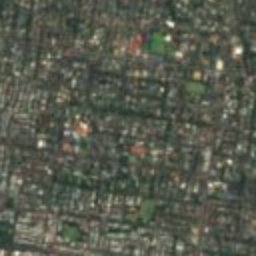
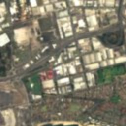
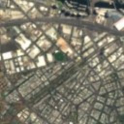
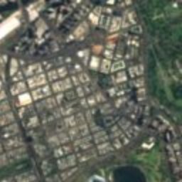
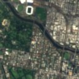
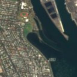
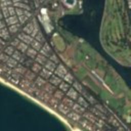





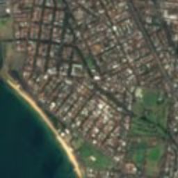
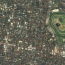
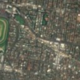
Satellite: Sentinel-2 cloudless 2016 by EOX IT Services GmbH · CC BY 4.0 · Contains modified Copernicus Sentinel data 2016

Photo: Rohanstorey · CC BY-SA 4.0 · Wikimedia Commons
Eildon MansionReport this photo · linked, not stored
Eildon MansionEildon MansionReport this photo · linked, not stored

Photo: Donaldytong · CC BY-SA 3.0 · Wikimedia Commons
Victorian College For The DeafReport this photo · linked, not stored
Victorian College For The DeafVictorian College For The DeafReport this photo · linked, not stored

Photo: Lwjin · CC0 · Wikimedia Commons
Sacred Heart Church St KildaReport this photo · linked, not stored
Sacred Heart Church St KildaSacred Heart Church St KildaReport this photo · linked, not stored
 Windsor
cricket fieldElsternwick, Victoria
Junction Oval
listed on the Victorian Heritage RegisterBuilt 1856
Typecricket field
Built1856
Best monthsFeb–Aprweather in Elsternwick
37.86° S, 144.98° EUTC+11 · Australian Eastern Daylight Time
Standing for170 years
built 1856today 2026
When to goElsternwick · weather score
Best timeFeb–Apr
October: high / low17° / 11°
iAbout
Junction Oval in brief
Junction Oval is a cricket field in Elsternwick, Victoria, Australia.
It holds the designation listed on the Victorian Heritage Register.
The cricket field dates from 1856.
For a visit, the weather in Elsternwick is best in February, March and April; in October afternoons average 17°.
Facts
- Type
- cricket field
- Designation
- listed on the Victorian Heritage Register
- Built
- 1856
- Nearest town
- Elsternwick
- Region
- Victoria
- Coordinates
- -37.85583, 144.98000
iiLocation
Where to find it
iiiWhen to visit
Climate guideWeather in Elsternwick
Month score for sightseeing
Best Feb–Apr76
Jan
86
Feb
80
Mar
77
Apr
61
May
40
Jun
36
Jul
45
Aug
59
Sep
63
Oct
68
Nov
76
Dec
ivNearby
All monuments in AustraliaMore heritage close by
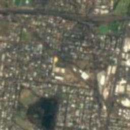
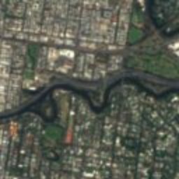
Satellite: Sentinel-2 cloudless 2016 by EOX IT Services GmbH · CC BY 4.0 · Contains modified Copernicus Sentinel data 2016
Australian Queer Archives
0.4 km N
listed on the Victorian Heritage Register
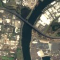
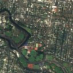
Satellite: Sentinel-2 cloudless 2016 by EOX IT Services GmbH · CC BY 4.0 · Contains modified Copernicus Sentinel data 2016
St Kilda light rail station
0.4 km SW
listed on the Victorian Heritage Register
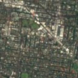
Victorian College For The Deaf
0.7 km N
listed on the Victorian Heritage Register
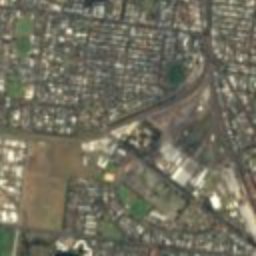
Sacred Heart Church St Kilda
0.8 km S
listed on the Victorian Heritage Register
Around here
Elsternwick and around

Nature


Photo: Antoine Fauchery / Richard Daintree · Public domain · Wikimedia CommonsReport this photo · linked, not stored
Yarra Falls
Waterfall
Mountains


Photo: Nick carson at English Wikipedia · Public domain · Wikimedia CommonsReport this photo · linked, not stored
Doncaster Hill
120 m
Heritage


Photo: Donaldtong at English Wikipedia · Public domain · Wikimedia CommonsReport this photo · linked, not stored
Elsternwick Metropolitan Fire Brigade Station
listed on the Victorian Heritage Register · 1896

Museums

Jewish Holocaust Museum and Research Centre
Holocaust museum · 1984


