
Photo: Michael Schmatz · Public domain · Wikimedia Commons
Dights FallsReport this photo · linked, not stored
Dights FallsReport this photo · linked, not stored

Photo: Antoine Fauchery / Richard Daintree · Public domain · Wikimedia Commons
Yarra FallsReport this photo · linked, not stored
Yarra FallsYarra FallsReport this photo · linked, not stored

Photo: Nick carson at English Wikipedia · Public domain · Wikimedia Commons
Doncaster HillReport this photo · linked, not stored
Doncaster HillDoncaster HillReport this photo · linked, not stored
WaterfallMelbourne, Victoria
Dights Falls
WaterfallBest Jan–Mar
Elevation–above sea level
Height–of the falls
Nearest townMelbourne3.8 km
37.80° S, 145.00° EUTC+11 · Australian Eastern Daylight Time
When to goMelbourne · weather score
Best timeJan–Mar
October: high / low18° / 10°
Waterfall
Dights Falls in brief
Dights Falls is a waterfall in Melbourne, Victoria, Australia.
The nearest town in the atlas is Melbourne, 3.8 km to the SW, where the weather is best in January, February and March.
Weather nearby now
Forecast for Melbourne21°
Clear now
Today
23 Oct
28°
20°
Sat
24 Oct
23°
16°
4 mm
Sun
25 Oct
18°
12°
26 mm
Mon
26 Oct
15°
8°
1 mm
Tue
27 Oct
16°
7°
1 mm
Model run 00:00 UTCRefreshed several times a day
Map
Dights Falls from above
Nature nearbyAll of Australia

Photo: Antoine Fauchery / Richard Daintree · Public domain · Wikimedia CommonsReport this photo · linked, not stored
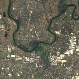
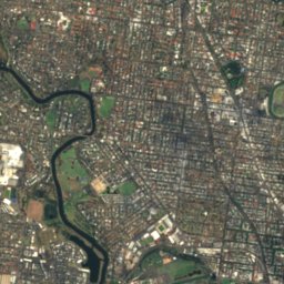
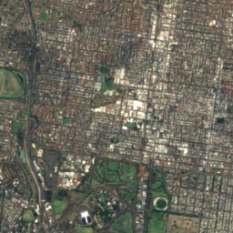
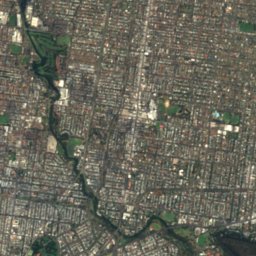
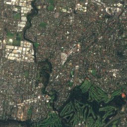
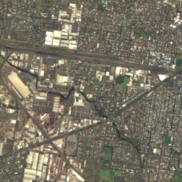
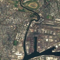
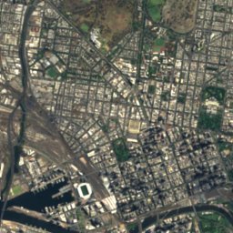
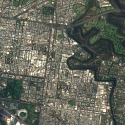
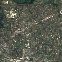
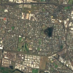
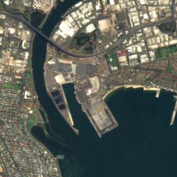
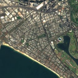
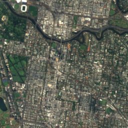
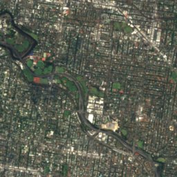
Satellite: Sentinel-2 cloudless 2016 by EOX IT Services GmbH · CC BY 4.0 · Contains modified Copernicus Sentinel data 2016
Satellite: Sentinel-2 cloudless 2016 by EOX IT Services GmbH · CC BY 4.0 · Contains modified Copernicus Sentinel data 2016
Satellite: Sentinel-2 cloudless 2016 by EOX IT Services GmbH · CC BY 4.0 · Contains modified Copernicus Sentinel data 2016
Satellite: Sentinel-2 cloudless 2016 by EOX IT Services GmbH · CC BY 4.0 · Contains modified Copernicus Sentinel data 2016
Satellite: Sentinel-2 cloudless 2016 by EOX IT Services GmbH · CC BY 4.0 · Contains modified Copernicus Sentinel data 2016
Summits nearbyMountains of Australia

Photo: Nick carson at English Wikipedia · Public domain · Wikimedia CommonsReport this photo · linked, not stored
Stay nearby
Towns close by


Photo: Robert (Bic) Bicknell · CC BY-SA 4.0 · Wikimedia CommonsReport this photo · linked, not stored
Arthurs Creek
Victoria · 30 km NE
18°Oct high
13wet days
66score

Photo: Alex1991 at en.wikipedia · Public domain · Wikimedia CommonsReport this photo · linked, not stored
Aintree
Victoria · 30 km W
18°Oct high
10wet days
74score
Around here
Melbourne and around
Nature

Photo: Nick carson at English Wikipedia · Public domain · Wikimedia CommonsReport this photo · linked, not stored
Darebin Creek
River


Photo: Joyceclintonphillip · Public domain · Wikimedia CommonsReport this photo · linked, not stored
Kororoit Creek
River
Mountains

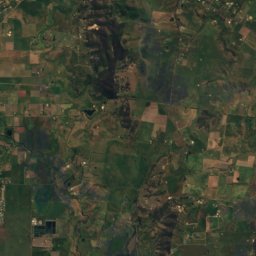
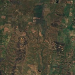
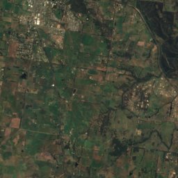
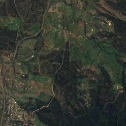
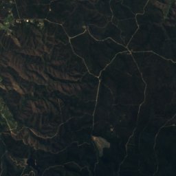
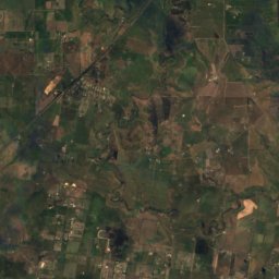
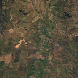
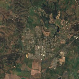
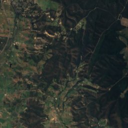
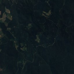
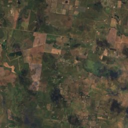
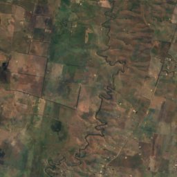
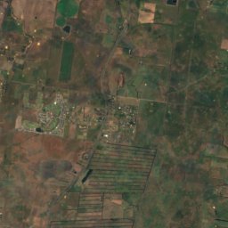
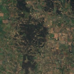
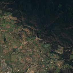
Satellite: Sentinel-2 cloudless 2016 by EOX IT Services GmbH · CC BY 4.0 · Contains modified Copernicus Sentinel data 2016
Mount Fraser
425 m
Photo: Nick carson at English Wikipedia · Public domain · Wikimedia CommonsReport this photo · linked, not stored
Doncaster Hill
120 m
Heritage

Photo: Photograph taken by Diliff and straightened by Ian Fieggen · CC BY 2.5 · Wikimedia CommonsReport this photo · linked, not stored
Royal Exhibition Building
listed on the Australian National Heritage List · 1879

St Patrick's Cathedral, Melbourne
listed on the Victorian Heritage Register · 1851

State Library Victoria
listed on the Victorian Heritage Register · 1854


