Skip to content
Destinations
Weather & climate
Nature
Outdoors
Culture
Events
Sky & live
Comonfort
Guanajuato, Mexico

Comonfort

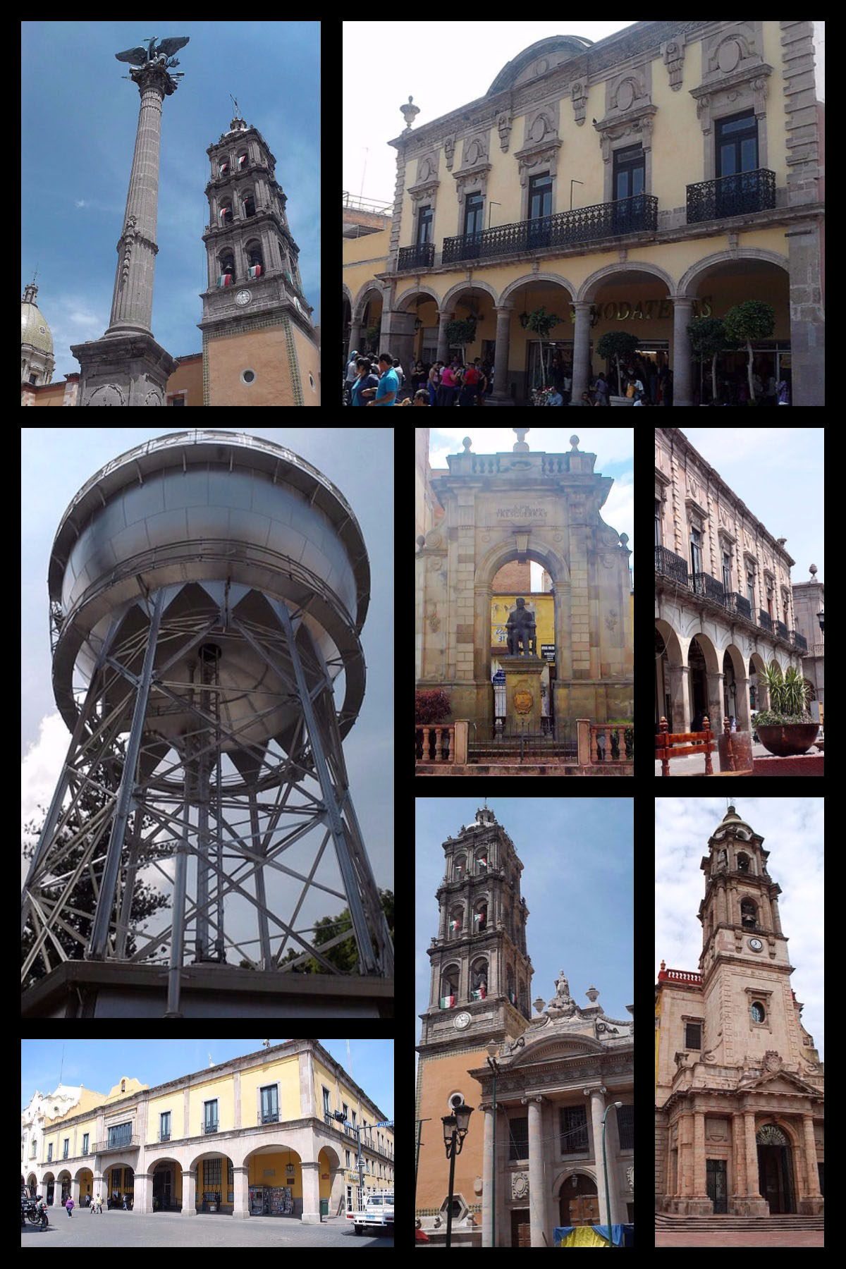
Comonfort is a town in Guanajuato, Mexico, 1,794 m above sea level. It has a population of about 24,228 (2020). The climate is classified as hot semi-arid (Köppen BSh), with little rain, large day–night swings and strong sunshine.

Now19°C
Best timeJan · Nov–Dec
Population24,228
Local time10:25
20.72° N, 100.76° WElevation 1,794 mUTC−6 · Central Standard Time
The year in Comonfortweather score
JanFebMarAprMayJunJulAugSepOctNovDec79October
October: high / low27° / 13°
Rain this month33mm
Best timeJan · Nov–Dec

Best: Jan · Nov–Dec. Warmth, sunshine and dry days, month by month.

Comonfort at a glance

Best time to visitJan · Nov–Dec

The months with the highest weather score

Warmest month32°C

Average high in May

Coolest month8°C

Average low in January

Wettest monthJuly

127 mm of rain

Driest monthDecember

5 mm of rain

Monuments nearby1+

within 0.1 km

Weather in Comonfort

Now and the next ten days. The 14 and 30-day outlooks are one click away.

14-day forecast
19°C

Cloudy · wind 10 km/h · humidity 76%

Today hour by hour
Today22 Oct26°15°2.1 mm
Fri23 Oct28°12°
Sat24 Oct26°12°
Sun25 Oct21°14°1.8 mm
Mon26 Oct26°14°4.2 mm
Tue27 Oct22°14°3 mm
Wed28 Oct25°13°5.4 mm
Thu29 Oct24°15°21 mm
Fri30 Oct22°15°9.8 mm
Sat31 Oct23°12°1 mm

When to go to Comonfort

Each month's weather score (warmth, sun, dry days) with its temperatures and rain.

Climate month by month
JanFebMarAprMayJunJulAugSepOctNovDec
Score999282705541404954799495
High24°26°29°31°32°31°31°29°27°27°25°24°
Low8°10°11°14°16°16°15°15°15°13°11°9°
Rain (mm)14116143285127103843395
Wet days1112815191815522

What's on in Comonfort

Concerts, football matches, the public holidays ahead and the town's festivals through the year.

Monuments and museums in Comonfort

All monuments

Nature around Comonfort

Nature in Mexico

Wildlife in October

The birds and mammals of Mexico seen most this month, compared with the rest of their year.

The sky over Comonfort

Eclipses and meteor showers

Earthquakes around Comonfort

The last 30 days within 300 km, and the record since 1950.

Earthquakes

Strongest nearby since 1950

5.3Venta de Bravo 16 km ↖1979 · 97 km
5.0Venta de Bravo 8 km ↖1979 · 105 km

Tropical storms · Comonfort

Tropical storm archive

Towns and villages around Comonfort

Each with its own page: weather, climate and the best time to visit.

Granja Don Juan0.5 kmGranja Santa Amalia Tercera Sección0.7 kmLa Jolina0.8 kmGranja los Pastores (Paredes Viejas)1 kmSan Andrés (Segunda Fracción de Virela)1.3 kmEl Árabe1.5 kmAdolfo Llanito Franco1.5 kmVirela1.6 kmEl Barrancón1.6 kmSeñor de la Misericordia1.7 kmEl Tajo1.8 kmSan Rafael1.9 kmLos Músicos (Camino Real)2 kmLa Alteña2 kmLos Bustos2.1 kmEjido Cinco de Febrero2.1 kmCamino Real a San Isidro2.2 kmLa Presita2.3 kmLas Trojas2.3 kmEl Cleriguillo2.4 kmLa Mezquitada2.4 kmSan Isidro2.4 kmSan Isidro (La Loma)2.5 kmLa Canterita2.5 kmLa Soledad2.5 kmJosé Luis Landín Anaya (El Milagro)2.7 kmJosé Mendoza2.7 kmEstablo Don Eziquio2.7 kmRancho Santa Mónica (Pan y Pan)2.8 kmMarco Antonio Palacios2.9 kmEl Árbol (Dolores Cervantes Santana)2.9 kmEl Mogote3 kmTierra Blanca3 kmLa Providencia3 kmLa Purísima3.1 kmLa Espiga3.2 kmEl Triángulo (La Loma de la Laguna)3.2 kmÁlvaro Obregón3.2 kmEl Organal3.3 kmEl Angosto (Las Charcas)3.3 kmLas Charcas (Jesús Martínez Músico)3.3 kmLos Arbolitos3.4 kmRafael Morales Zárate3.5 kmLa Laguna3.6 kmLa Morita3.6 kmLas Espuelas (Enrique Luna Valenzuela)3.7 kmLa Merced3.7 kmEl Tepeyac (El Castillo)3.8 kmMelgar4 kmSan Jerónimo4 kmCaja del Refugio4.1 kmCañada de Jesús4.1 kmBocatoma4.2 kmCaja de Dolores4.4 kmJalpilla4.4 kmSan Isidro de San Jerónimo4.6 kmLa Tinaja del Muerto4.6 kmEl Alto (La Última Esperanza)4.7 kmRefugio de Abajo4.7 kmEl Cerro4.8 kmOrduña de Abajo4.8 kmEl Vergel4.8 kmArturo Malagón (Cuarta Sección de Arias)4.9 kmNúmero 27 [Granja Reproductora]4.9 kmBrígido Vargas5 kmLa Casita5.2 kmLa Caja de Santa Elena5.2 kmEl Rocío5.4 kmMadre Vieja (Los Martínez)5.5 kmPeña Colorada5.5 kmBanco de Tepetate5.5 kmEmpalme Escobedo5.5 kmRefugio de Arriba5.5 kmEstablo Sociedad5.5 kmEl Bordo5.5 kmLos Maldonado5.6 kmLa Cantera5.6 kmMateo Irineo Calvario5.6 kmArias5.7 kmFraccionamiento Rancho Soria5.8 km

Comonfort from above

Getting to Comonfort

Querétaro Intercontinental AirportQRO
61 km
Guanajuato International AirportBJX
81 km
General Francisco J. Mujica International AirportMLM
101 km

Places near Comonfort

Places with a climate like Comonfort

Matched month by month on temperature, rain and sunshine.

Frequently asked questions

When is the best time to visit Comonfort?
Based on 30-year climate normals, January, November and December offer the best balance of comfortable temperatures, low rainfall and sunshine in Comonfort.
What is the hottest month in Comonfort?
May is the warmest month, with average highs of 32°C and lows of 16°C.
What is the coldest month in Comonfort?
January is the coldest month, with average highs of 24°C and lows of 8°C.
What is the rainiest month in Comonfort?
July is the wettest month with about 127 mm of precipitation on 19 wet days.