




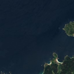
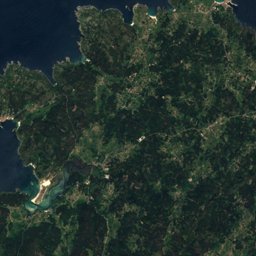
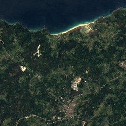
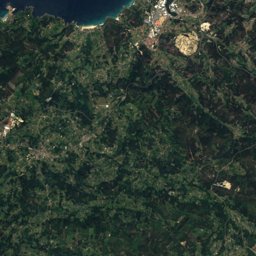
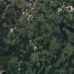


























Stage 12: Puentecesures – Santiago de Compostela


Stage 12 in brief
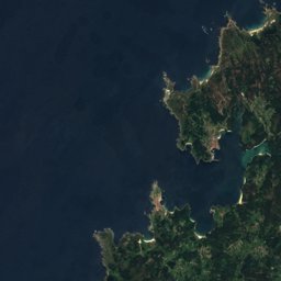
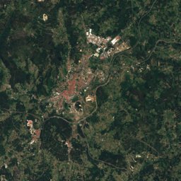
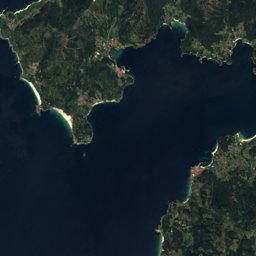
Stage 12 of the Caminho Português da Costa covers 27.6 km from Puentecesures to Santiago de Compostela, Galicia, Spain.
It climbs 568 m and descends 332 m, topping out at 261 m; it starts at 19 m and ends at 256 m.
The DIN 33466 walking time is 8 h 10 min without breaks (4 km an hour on the level, 300 m an hour uphill, 500 m downhill).
In terms of effort it counts as very demanding.
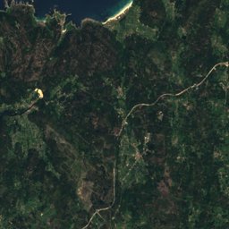
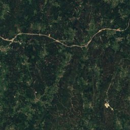
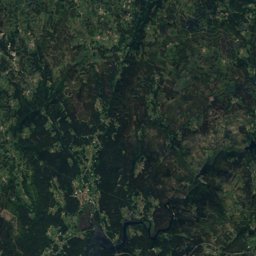
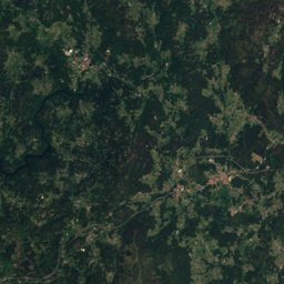
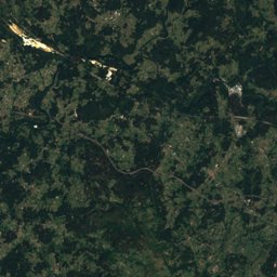
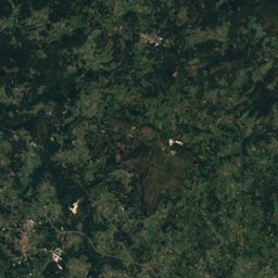
34% of the route runs through forest.
The best months are April–September, judged by temperature and rain at the highest point.
At the high point the warmest month, August, averages 25° by day.
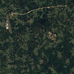
A bus stop or station lies within 800 m of the start or the finish. There is a car park near the start.
This is a suggested stage: it ends in a village or town with beds (albergue, hostel or a town with places to stay) and keeps the day lengths even. The way itself has no fixed daily stages.
Facts
- Distance
- 27.6 km
- Ascent / descent
- 568 m / 332 m
- Highest / lowest point
- 261 m / 0 m
- Walking time
- 8 h 10 min
- Effort
- very demanding
- Steepest kilometre
- 5 %
- In forest
- 34 %
- Best months
- Apr–Sep
- Start
- Puentecesures
- Finish
- Santiago de Compostela
- Network
- National route · CPC
- Stages
- 12 / 12
The line on the ground
Elevation profile
Height every 20 mThe year month by month
- Jangood, wetter
- Febgood, wetter
- Margood, wetter
- Aprgood
- Maygood
- Jungood
- Julgood
- Auggood
- Sepgood
- Octgood, wetter
- Novgood, wetter
- Decgood, wetter
Climate at the high point (261 m)
Averages 1981–2010 adjusted to the height with 6.5 °C per km; daylight at the start| Month | Jan | Feb | Mar | Apr | May | Jun | Jul | Aug | Sep | Oct | Nov | Dec |
|---|---|---|---|---|---|---|---|---|---|---|---|---|
| Average high | 12° | 13° | 15° | 17° | 20° | 22° | 25° | 25° | 24° | 20° | 15° | 13° |
| Average low | 5° | 4° | 6° | 7° | 9° | 12° | 14° | 14° | 12° | 10° | 7° | 5° |
| Precipitation | 217 mm | 173 mm | 157 mm | 154 mm | 144 mm | 67 mm | 43 mm | 56 mm | 113 mm | 237 mm | 226 mm | 279 mm |
| Daylight | 9 h 23 min | 10 h 33 min | 11 h 53 min | 13 h 22 min | 14 h 37 min | 15 h 18 min | 15 h 02 min | 13 h 57 min | 12 h 32 min | 11 h 06 min | 9 h 46 min | 9 h 04 min |
This week on the route
Loading the latest forecast…
Loading the latest forecast…
Loading the latest forecast…
Kilometre by kilometre
| km | What | Name | Elevation |
|---|---|---|---|
| 0.0 | Town or village | Puentecesures | 31 m |
| 0.1 | Drinking water | Fonte de San Xulián | – |
| 0.5 | Shelter | Pontecesures | – |
| 0.7 | Shelter | – | – |
| 0.7 | Drinking water | – | – |
| 0.8 | Hostel | A de Pepita | – |
| 1.8 | Pilgrim hostel | Albergue Camiño do Sar | – |
| 1.9 | Pilgrim hostel | Albergue da Meiga | – |
| 1.9 | Pilgrim hostel | Albergue O Pedrón | – |
| 2.6 | Pilgrim hostel | Albergue D'Camino | – |
| 2.6 | Pilgrim hostel | Albergue de Peregrinos de Padrón | – |
| 2.6 | Town or village | Padrón | 13 m |
| 2.7 | Hostel | Rossol | – |
| 2.7 | Drinking water | – | – |
| 2.8 | Pilgrim hostel | Albergue Murgadán | – |
| 2.8 | Pilgrim hostel | Albergue Corredoiras | – |
| 3.3 | Pilgrim hostel | Albergue Río Sar | – |
| 3.5 | Drinking water | – | – |
| 5.5 | Drinking water | – | – |
| 5.5 | Shelter | – | – |
| 7.1 | Drinking water | – | – |
| 8.0 | Hostel | O Lagar de Jesús | – |
| 8.1 | Drinking water | – | – |
| 8.9 | Shelter | – | – |
| 8.9 | Drinking water | – | – |
| 10.6 | Pilgrim hostel | Albergue Camiño da Vieira | – |
| 11.9 | Drinking water | – | – |
| 13.6 | Hostel | La Calabaza del Peregrino | – |
| 14.1 | Pilgrim hostel | Albergue de Peregrinos do Faramello | – |
| 14.5 | Shelter | – | – |
| 14.6 | Drinking water | – | – |
| 14.8 | Hostel | Parada de Francos | – |
| 15.6 | Viewpoint | – | – |
| 16.3 | Drinking water | – | – |
| 16.6 | Hostel | Casa Aldea da Pedreira | – |
| 20.1 | Shelter | – | – |
| 20.2 | Drinking water | – | – |
| 20.4 | Picnic spot | – | – |
| 20.6 | Pilgrim hostel | Albergue Do Milladoiro | – |
| 22.7 | Drinking water | – | – |
| 22.7 | Shelter | – | – |
| 24.7 | Shelter | – | – |
| 25.0 | Drinking water | – | – |
| 25.3 | Drinking water | Fonte da Carballa | – |
| 25.8 | Drinking water | – | – |
| 26.0 | Shelter | – | – |
| 26.2 | Drinking water | Fonte e Mural do Hotel Exe Peregrino | – |
| 26.6 | Drinking water | – | – |
| 26.9 | Hostel | ArArAt | – |
| 27.0 | Railway station | Santiago de Compostela - Daniel Castelao | – |
| 27.0 | Drinking water | Fonte do Campo da Rapa da Folla | – |
| 27.2 | Viewpoint | – | – |
| 27.2 | Drinking water | – | – |
| 27.2 | Drinking water | Fonte da Carreira do Conde | – |
| 27.3 | Sight | Colexio de San Clemente | – |
| 27.3 | Pilgrim hostel | Albergue Mundoalbergue | – |
| 27.4 | Sight | Pazo de Ramirás | – |
| 27.5 | Sight | Fountain of the Horses | – |
| 27.5 | Sight | Church of María Salomé, Santiago de Compostela | – |
| 27.5 | Hostel | Pensión Santa Cruz | – |
| 27.5 | Hostel | O Códice | – |
| 27.5 | Sight | Teatro Principal, Santiago de Compostela | – |
| 27.5 | Hostel | Hostal Airas Nunes | – |
| 27.6 | Sight | Santiago de Alfeo University College | – |
| 27.6 | Sight | Casa do Deán | – |
| 27.6 | Hostel | Libredón | – |
| 27.6 | Sight | Casa da Conga | – |
| 27.6 | Town or village | Santiago de Compostela | 257 m |
| 27.6 | Sight | old town of Santiago de Compostela | – |
| 27.6 | Sight | Cathedral of Santiago de Compostela | – |
| 27.6 | Sight | Palacio de Rajoy | – |
| 27.6 | Sight | Colexio de San Xerome | – |
| 27.6 | Sight | Way of Saint James | – |
| 27.6 | Sight | Plaza del Obradoiro | – |
| 27.6 | Sight | Church of Saint Fructuosus, Santiago de Compostela | – |
| 27.6 | Sight | Palacio de Gelmírez | – |
| 27.6 | Pilgrim hostel | Albergue The Last Stamp | – |
| 27.6 | Pilgrim hostel | Albergue Azabache | – |
| 27.6 | Hostel | Hospedería San Martín Pinario | – |
| 27.6 | Pilgrim hostel | Albergue Santiago KM-0 | – |
| 27.6 | Hostel | Habitaciones Oxford | – |
| 27.6 | Hostel | Hospedaje San Pelayo | – |
| 27.6 | Hostel | O Patrón | – |
Surface, shade and gradients
Seen along the route


Start, stops and airports
- Start
- 42.72457° N, 8.65050° W · 19 m
- Finish
- 42.88007° N, 8.54529° W · 256 m
- Car park at the start
- yes · 386 m
- Stop at the start
- Pontecesures · Bus stop · 7 m
- Stop at the finish
- San Clemente (IES Rosalía de Castro) · Bus stop · 39 m
- Nearest airport
- Santiago-Rosalía de Castro Airport (SCQ) · 27.1 km
- Nearest airport
- Vigo Airport (VGO) · 54.8 km
Conditions change: check the official sources, the signposts and the weather before you set off. Walking times follow DIN 33466 and do not include breaks. Route data as of 2026-10-16. Report an error