














































Stage 1: Porto – Mindelo


Stage 1 in brief
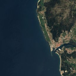
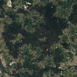
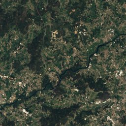
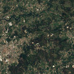
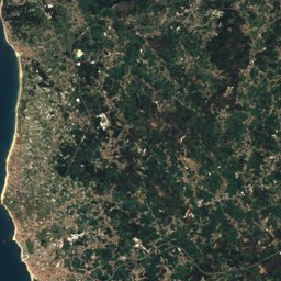
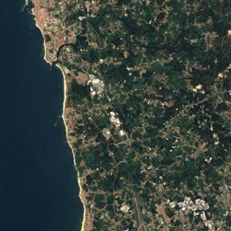
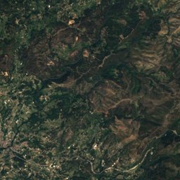
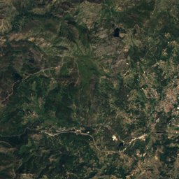
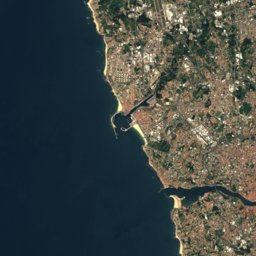
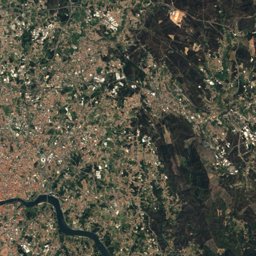
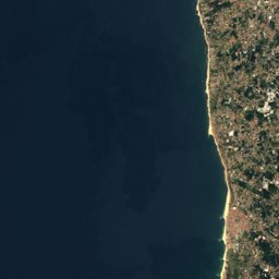
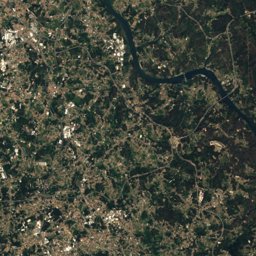
Stage 1 of the Caminho Português da Costa covers 23.3 km from Porto to Mindelo, Porto, Spain.
It climbs 248 m and descends 290 m, topping out at 118 m; it starts at 75 m and ends at 32 m.
The DIN 33466 walking time is 6 h 30 min without breaks (4 km an hour on the level, 300 m an hour uphill, 500 m downhill).
In terms of effort it counts as demanding.
9% of the route runs through forest.
The best months are March and May–September, judged by temperature and rain at the highest point.
At the high point the warmest month, August, averages 26° by day.
A bus stop or station lies within 800 m of the start or the finish. There is a car park near the start.
This is a suggested stage: it ends in a village or town with beds (albergue, hostel or a town with places to stay) and keeps the day lengths even. The way itself has no fixed daily stages.
Facts
The line on the ground
Elevation profile
Height every 20 mThe year month by month
- Jangood, wetter
- Febgood, wetter
- Margood
- Aprgood, wetter
- Maygood
- Jungood
- Julgood
- Auggood
- Sepgood
- Octgood, wetter
- Novgood, wetter
- Decgood, wetter
Climate at the high point (118 m)
Averages 1981–2010 adjusted to the height with 6.5 °C per km; daylight at the start| Month | Jan | Feb | Mar | Apr | May | Jun | Jul | Aug | Sep | Oct | Nov | Dec |
|---|---|---|---|---|---|---|---|---|---|---|---|---|
| Average high | 13° | 15° | 17° | 18° | 20° | 23° | 25° | 26° | 23° | 20° | 16° | 14° |
| Average low | 6° | 6° | 8° | 9° | 12° | 15° | 16° | 16° | 14° | 12° | 9° | 7° |
| Precipitation | 175 mm | 129 mm | 112 mm | 141 mm | 107 mm | 53 mm | 24 mm | 36 mm | 87 mm | 187 mm | 198 mm | 230 mm |
| Daylight | 9 h 32 min | 10 h 38 min | 11 h 54 min | 13 h 18 min | 14 h 29 min | 15 h 07 min | 14 h 52 min | 13 h 51 min | 12 h 30 min | 11 h 09 min | 9 h 54 min | 9 h 14 min |
This week on the route
Loading the latest forecast…
Loading the latest forecast…
Loading the latest forecast…
Kilometre by kilometre
| km | What | Name | Elevation |
|---|---|---|---|
| 0.0 | Town or village | Mafamude · 2.0 km off the route | 99 m |
| 0.0 | Town or village | Vila Nova de Gaia · 2.1 km off the route | 122 m |
| 0.0 | Sight | Episcopal Palace, Porto | – |
| 0.0 | Sight | Porto Cathedral | – |
| 0.0 | Sight | Casa-Museu Guerra Junqueiro | – |
| 0.0 | Sight | Igreja dos Grilos | – |
| 0.0 | Sight | Tower of D. Pedro Pitões | – |
| 0.0 | Sight | Capela de Nossa Senhora das Verdades | – |
| 0.0 | Railway station | Jardim do Morro | – |
| 0.0 | Viewpoint | Miradouro da Rua das Aldas | – |
| 0.0 | Viewpoint | Miradouro do Terreiro da Sé | – |
| 0.0 | Viewpoint | Miradouro do Largo do Colégio | – |
| 0.0 | Hostel | World Music Hostel | – |
| 0.0 | Hostel | Cathedral Deisgn Apartments | – |
| 0.0 | Viewpoint | Torre sul da Sé do Porto | – |
| 0.0 | Hostel | Manor House Porto | – |
| 0.0 | Railway station | Ribeira | – |
| 0.0 | Hostel | Ribeira 24 | – |
| 0.0 | Hostel | The Central House Porto Ribeira | – |
| 0.0 | Drinking water | Fontanário da Rua de São Sebastião | – |
| 0.0 | Sight | Residence of Beco dos Redemoinhos | – |
| 0.0 | Sight | Fountain of São Miguel | – |
| 0.0 | Viewpoint | – | – |
| 0.0 | Hostel | Pensão Astória | – |
| 0.1 | Town or village | Neiral · 2.5 km off the route | 63 m |
| 0.1 | Town or village | Bonjoia · 2.5 km off the route | 63 m |
| 0.1 | Town or village | Noeda · 2.5 km off the route | 63 m |
| 0.1 | Hostel | Cats Hostel Porto | – |
| 0.1 | Hostel | ORM Chã Apartments | – |
| 0.1 | Hostel | Cats Hostels | – |
| 0.1 | Hostel | Nations Porto | – |
| 0.1 | Hostel | Oportoliving | – |
| 0.1 | Railway station | Batalha | – |
| 0.1 | Drinking water | Fontanário da Travessa de São Sebastião | – |
| 0.1 | Hostel | Onefam Ribeira Hostel Porto | – |
| 0.1 | Sight | Capela do Senhor dos Passos (Porto) | – |
| 0.1 | Sight | Historic Centre of Porto | – |
| 0.2 | Railway station | São Bento | – |
| 0.2 | Hostel | Porto Alive | – |
| 0.2 | Hostel | Best Guest | – |
| 0.3 | Hostel | The Passenger - Hostel | – |
| 0.3 | Hostel | Secret Hostel | – |
| 0.3 | Hostel | S. Bento Apartment's | – |
| 0.3 | Railway station | Porto - São Bento | 70 m |
| 0.4 | Railway station | Bolhão | – |
| 0.4 | Hostel | Nice Way Hostel | – |
| 0.4 | Town or village | Porto | 91 m |
| 0.4 | Railway station | Aliados | – |
| 0.4 | Hostel | Yes! Porto | – |
| 0.5 | Hostel | Casa dos Caldeireiros | – |
| 0.6 | Hostel | Oporto Tourist Apartments | – |
| 0.6 | Hostel | Oporto Clérigos | – |
| 0.6 | Hostel | Casas do Porto | – |
| 0.6 | Hostel | The Poets Inn | – |
| 0.6 | Viewpoint | Miradouro da Vitória | – |
| 0.6 | Hostel | Being Porto | – |
| 0.6 | Sight | Igreja de São Bento da Vitória | – |
| 0.6 | Hostel | Residencial Caldeira | – |
| 0.6 | Hostel | Casa das Taipas | – |
| 0.6 | Hostel | Mystay Porto | – |
| 0.6 | Hostel | Taipas Apartments | – |
| 0.8 | Sight | Jardim de Joao Chagas | – |
| 0.8 | Drinking water | – | – |
| 0.8 | Hostel | Wine | – |
| 0.9 | Sight | Livraria Lello | – |
| 0.9 | Sight | Fountain of the Lions (Porto) | – |
| 0.9 | Drinking water | Fontanário da Praça de Gomes Teixeira | – |
| 0.9 | Hostel | Porto Downtown | – |
| 1.0 | Sight | Igreja do Carmo, Porto | – |
| 1.1 | Sight | Palacete of the Visconts of Balsemão | – |
| 1.1 | Drinking water | Fontanário da Praça de Carlos Alberto | – |
| 1.2 | Hostel | Selina Porto | – |
| 1.2 | Hostel | Oporto Invictus | – |
| 1.2 | Hostel | Pilop Design Hostel & Bar | – |
| 1.3 | Hostel | Pensão Favorita | – |
| 1.3 | Hostel | Gallery Hostel | – |
| 1.4 | Sight | Faculty of Law of the University of Porto | – |
| 1.4 | Hostel | Breyner House | – |
| 1.5 | Town or village | Massarelos · 1.3 km off the route | 17 m |
| 1.9 | Sight | Faculty of Pharmacy of the University of Porto | – |
| 2.0 | Hostel | Casa Albino Batista | – |
| 2.1 | Hostel | So Cool | – |
| 2.2 | Hostel | Casinhas no Carolina - Hostel | – |
| 2.3 | Sight | Escola Secundária Carolina Michaelis | – |
| 2.4 | Pilgrim hostel | Albergue de Peregrinos do Porto | – |
| 3.5 | Town or village | Senhora do Porto · 0.7 km off the route | 87 m |
| 3.7 | Town or village | Francos · 1.0 km off the route | 80 m |
| 4.3 | Town or village | Bairro Silva Braga | 100 m |
| 4.8 | Town or village | Ramalde do Meio · 1.0 km off the route | 71 m |
| 7.2 | Town or village | São Tiago de Custoias · 0.5 km off the route | 84 m |
Surface, shade and gradients
Seen along the route


Start, stops and airports
- Start
- 41.14296° N, 8.61153° W · 75 m
- Finish
- 41.31503° N, 8.72108° W · 32 m
- Car park at the start
- yes · 13 m
- Stop at the start
- São Bento · Railway station · 119 m
- Stop at the finish
- Mindelo Covelo · Bus stop · 11 m
- Nearest airport
- Francisco de Sá Carneiro Airport (OPO) · 13.1 km
- Nearest airport
- Vila Real Airport (VRL) · 76.0 km
Conditions change: check the official sources, the signposts and the weather before you set off. Walking times follow DIN 33466 and do not include breaks. Route data as of 2026-10-16. Report an error