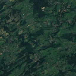
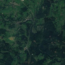
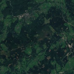
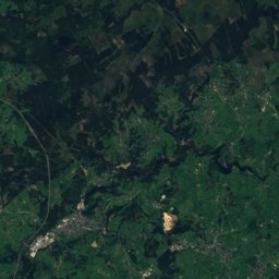
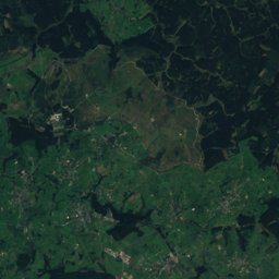
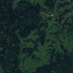
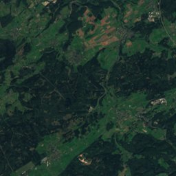
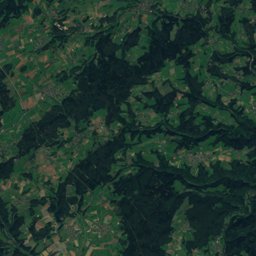
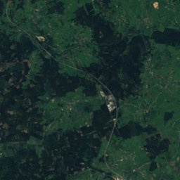
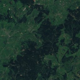
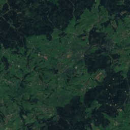
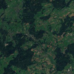
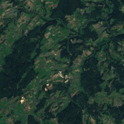
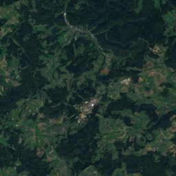
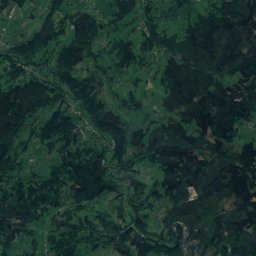
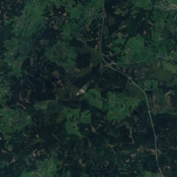
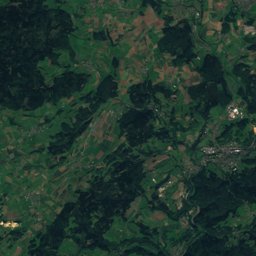
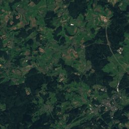
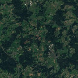
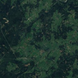
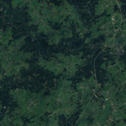
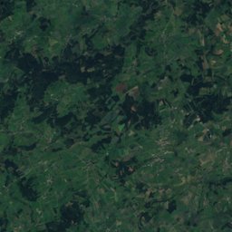
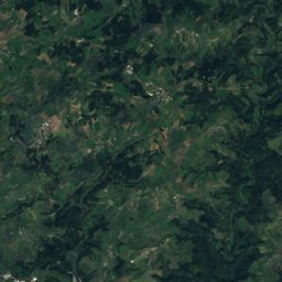
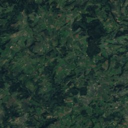
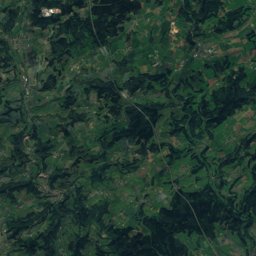
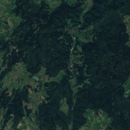
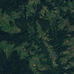
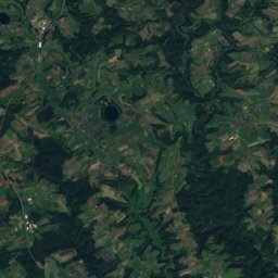
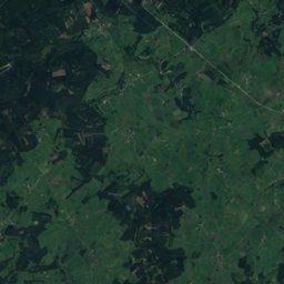
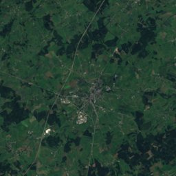
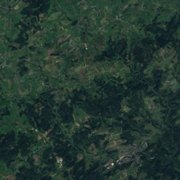
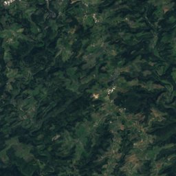
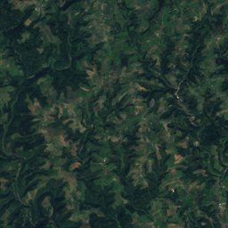
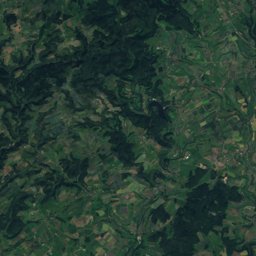
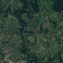
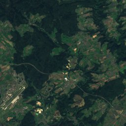
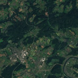
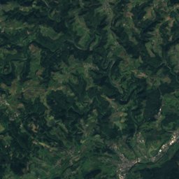
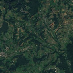
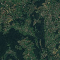
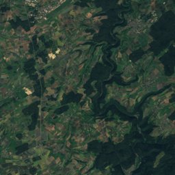
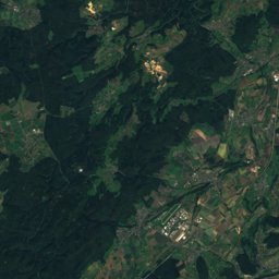
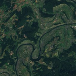
Satellite: Sentinel-2 cloudless 2016 by EOX IT Services GmbH · CC BY 4.0 · Contains modified Copernicus Sentinel data 2016
Outdoor activitiesMatzerath
Outdoors near Matzerath
within 15 km27places
Camp sites15
Viewpoints9
50.15° N, 6.38° EElevation 470 mUTC+2 · Central European Summer Time
When to goMatzerath · weather score
Best timeJun–Jul · Sep
October: high / low12° / 5°
Camp sites
| Name | Nearby | Details |
|---|---|---|
| Campingplatz Heilhauser Mühle | 5.3 km | Website |
| Campingpark Eifel | 6.7 km | Website |
| Waldcamping Prüm/Eifel | 8.7 km | Website |
| Campingplatz Bleialf | 11.6 km | Website |
| "Am alten Bahnhof" Pronsfeldcaravans & motorhomes | 3.7 km | Website |
| Jugendfreizeitstätte Fischbach | 14.7 km | Website |
| Stellplatz Alter Bahnhof Waxweilercaravans & motorhomes | 6.4 km | Website |
| Wohnmobilstellplatz Üttfeld-Bahnhofcaravans & motorhomes | 8.3 km | Website |
| Abgetauchtbackcountry | 11.5 km | Website |
| Jugendlager | 8.9 km | |
| Wohnmobilstellplatz Prümcaravans & motorhomes | 6.5 km | |
| paddymogcaravans & motorhomes | 5.8 km |
Viewpoints
| Name | Nearby | Details |
|---|---|---|
| Lichtenborner Höhe | 8 km | 569 m |
| Wilhelmshöhe | 6 km | |
| Prümtalblick | 7.8 km | |
| Eifel-Blicke | 8.4 km | |
| Panoramablick Gondenbrett | 10.2 km | |
| Eifelblick | 10.5 km | |
| Eifelblick Schwarzer Mann | 11.2 km | |
| Eifelblick "Am Apert" | 13.4 km | |
| Leien | 14.4 km |
Golf courses
| Name | Nearby | Details |
|---|---|---|
| Golfanlage Lietzenhof | 10.3 km |
Theme parks
| Name | Nearby | Details |
|---|---|---|
| Skulpturenpark Kruft Niederprüm | 5.3 km | Website |
Zoos
| Name | Nearby | Details |
|---|---|---|
| Eifel-Zoo | 4 km | Website |
Ski areas
Places come from an open map made by volunteers: well-known sites are there, small or new ones may be missing. Opening times and prices change, so check before you go.