


Satellite: Sentinel-2 cloudless 2016 by EOX IT Services GmbH · CC BY 4.0 · Contains modified Copernicus Sentinel data 2016
SkiingRocherath, Wallonia
Weißer Stein
Ski area0.9 kmSnow Jan–Feb · Dec
Pistes0.9 kmdownhill
Lifts2in the area
Snow seasonJan–Feb · DecWeißer Stein
Nearest townRocherath6.3 km
50.41° N, 6.38° EUTC+2 · Central European Summer Time
When to goRocherath · weather score
Best timeJun–Aug
October: high / low12° / 5°
Skiing
Weißer Stein in brief
Weißer Stein is a ski area in Rocherath, Wallonia, Belgium with about 0.9 km of downhill pistes and 2 lifts.
At Weißer Stein (693 m), the nearest summit, precipitation falls mostly as snow in Jan–Feb · Dec.
The nearest town in the atlas is Rocherath, 6.3 km away.
Weather nearby now
Rocherath7°
Cloudy now
Today
22 Oct
8°
3°
2 mm
Fri
23 Oct
8°
4°
9 mm
Sat
24 Oct
8°
2°
18 mm
Sun
25 Oct
10°
5°
33 mm
Mon
26 Oct
10°
5°
8 mm
Model run 00:00 UTCRefreshed several times a day
Fresh snow, next 10 days
| Thu 22 | Fri 23 | Sat 24 | Sun 25 | Mon 26 | Tue 27 | Wed 28 | Thu 29 | Fri 30 | Sat 31 | Total | |
|---|---|---|---|---|---|---|---|---|---|---|---|
| Rocherath645 m | –5° | –6° | –5° | –8° | –7° | –12° | –9° | –6° | –8° | –8° | 0 cm |
Estimate: the forecast's precipitation at each height shown, as snow when it is cold enough there (about 1 cm per mm). Resorts publish their own snow reports.
Pistes by difficulty
Kilometres of downhill piste, as mappedLifts
2- Drag lifts2
Snow through the year
Weißer Stein · 693 mJan❄0°
Feb❄0°
Mar·3°
Apr·7°
May·10°
Jun·13°
Jul·16°
Aug·15°
Sep·12°
Oct·8°
Nov·4°
Dec❄1°
Snow: months when the mean temperature at the summit is at most +1 °C and at least 10 mm falls. Below: mean temperature at the summit.
Stay nearby
Towns close by
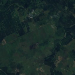
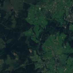
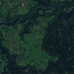
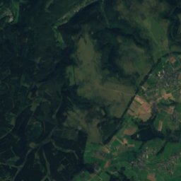
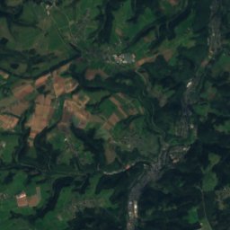
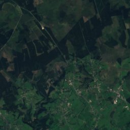
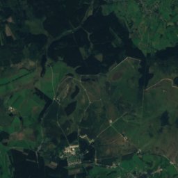
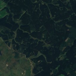
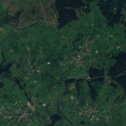
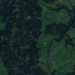
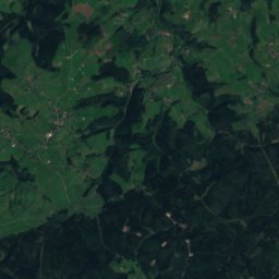
Satellite: Sentinel-2 cloudless 2016 by EOX IT Services GmbH · CC BY 4.0 · Contains modified Copernicus Sentinel data 2016
Rocherath
Wallonia · 6.3 km NW
12°Oct high
13wet days
25score


Around here
Rocherath and around
Nature


Mountains


Heritage

Kirche St. Anna
protected monument of the German-speaking Community of Belgium

Fußfälle Büllingen-Wirtzfeld
protected monument of the German-speaking Community of Belgium

St. Lambertus, Monschau
architectural heritage monument in North Rhine-Westphalia
Museums

Kunst- und Kulturzentrum der StädteRegion Aachen
2002



Satellite: Sentinel-2 cloudless 2016 by EOX IT Services GmbH · CC BY 4.0 · Contains modified Copernicus Sentinel data 2016