


Bad Häring
Bad Häring is a village in Tyrol, Austria, 650 m above sea level. It has a population of about 3,008 (2025). The climate is classified as warm-summer humid continental (Köppen Dfb), with warm summers, cold winters and precipitation in every season.
Best: May · Jul–Aug. Warmth, sunshine and dry days, month by month.
Bad Häring at a glance
The months with the highest weather score
Average high in July
Average low in January
111 mm of rain
74 mm of rain
within 11 km
Weather in Bad Häring
Now and the next ten days. The 14 and 30-day outlooks are one click away.
Rain · wind 3 km/h · humidity 85%
When to go to Bad Häring
Each month's weather score (warmth, sun, dry days) with its temperatures and rain.
| Jan | Feb | Mar | Apr | May | Jun | Jul | Aug | Sep | Oct | Nov | Dec | |
|---|---|---|---|---|---|---|---|---|---|---|---|---|
| Score | 21 | 25 | 21 | 54 | 64 | 64 | 66 | 65 | 64 | 52 | 27 | 20 |
| High | 3° | 5° | 10° | 16° | 20° | 23° | 25° | 25° | 20° | 15° | 8° | 3° |
| Low | -5° | -4° | 0° | 3° | 8° | 11° | 13° | 13° | 9° | 5° | 0° | -3° |
| Rain (mm) | 83 | 74 | 96 | 79 | 111 | 156 | 176 | 169 | 114 | 77 | 84 | 81 |
| Wet days | 15 | 12 | 14 | 12 | 19 | 19 | 19 | 17 | 14 | 13 | 11 | 14 |
What's on in Bad Häring
Concerts, football matches, the public holidays ahead and the town's festivals through the year.
Monuments and museums in Bad Häring


Outdoors around Bad Häring
Hiking routes from the town, and what there is to do within 15 km: huts, viewpoints, climbing, camping, ski areas and dive sites.
Nature around Bad Häring


Wildlife in October
The birds and mammals of Austria seen most this month, compared with the rest of their year.


The sky over Bad Häring
Earthquakes around Bad Häring
The last 30 days within 300 km, and the record since 1950.
Strongest nearby since 1950
Fossil sites near this town
Fossil sites: 6 · 1 km
Formations around the town
Towns and villages around Bad Häring
Each with its own page: weather, climate and the best time to visit.
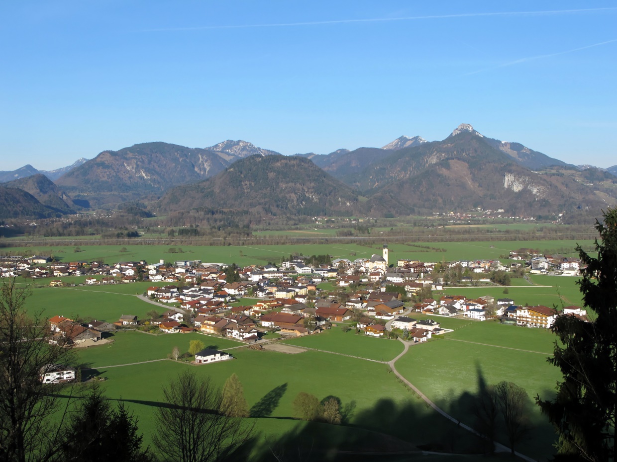
Bad Häring from above
Postal code
Getting to Bad Häring
Places near Bad Häring


Places with a climate like Bad Häring
Matched month by month on temperature, rain and sunshine.
 96% alike
Leoben
 96% alike
Großraming
 97% alike
Klaus an der Pyhrnbahn
 96% alike
Weyer
 97% alike
Altenmarkt bei Sankt Gallen
 96% alike