


Peak Crossing
Peak Crossing is a locality in Queensland, Australia. It has a population of about 498 (2021). The climate is classified as humid subtropical (Köppen Cfa), with rain spread through the year and no real dry season.
Best: Jun · Aug–Sep. Warmth, sunshine and dry days, month by month.
Peak Crossing at a glance
The months with the highest weather score
Average high in January
Average low in July
68 mm of rain
27 mm of rain
within 12 km
Weather in Peak Crossing
Now and the next ten days. The 14 and 30-day outlooks are one click away.
Rain · wind 13 km/h · humidity 70%
When to go to Peak Crossing
Each month's weather score (warmth, sun, dry days) with its temperatures and rain.
| Jan | Feb | Mar | Apr | May | Jun | Jul | Aug | Sep | Oct | Nov | Dec | |
|---|---|---|---|---|---|---|---|---|---|---|---|---|
| Score | 43 | 47 | 54 | 69 | 71 | 87 | 83 | 88 | 87 | 67 | 58 | 46 |
| High | 31° | 30° | 28° | 26° | 23° | 20° | 20° | 21° | 25° | 27° | 28° | 30° |
| Low | 20° | 20° | 19° | 16° | 13° | 10° | 8° | 9° | 12° | 15° | 17° | 19° |
| Rain (mm) | 91 | 112 | 68 | 63 | 58 | 41 | 30 | 27 | 31 | 65 | 91 | 120 |
| Wet days | 16 | 16 | 18 | 12 | 12 | 6 | 7 | 5 | 6 | 10 | 12 | 14 |
What's on in Peak Crossing
Concerts, football matches, the public holidays ahead and the town's festivals through the year.
Monuments and museums in Peak Crossing


Outdoors around Peak Crossing
Hiking routes from the town, and what there is to do within 15 km: huts, viewpoints, climbing, camping, ski areas and dive sites.
Nature around Peak Crossing


Wildlife in October
The birds and mammals of Australia seen most this month, compared with the rest of their year.

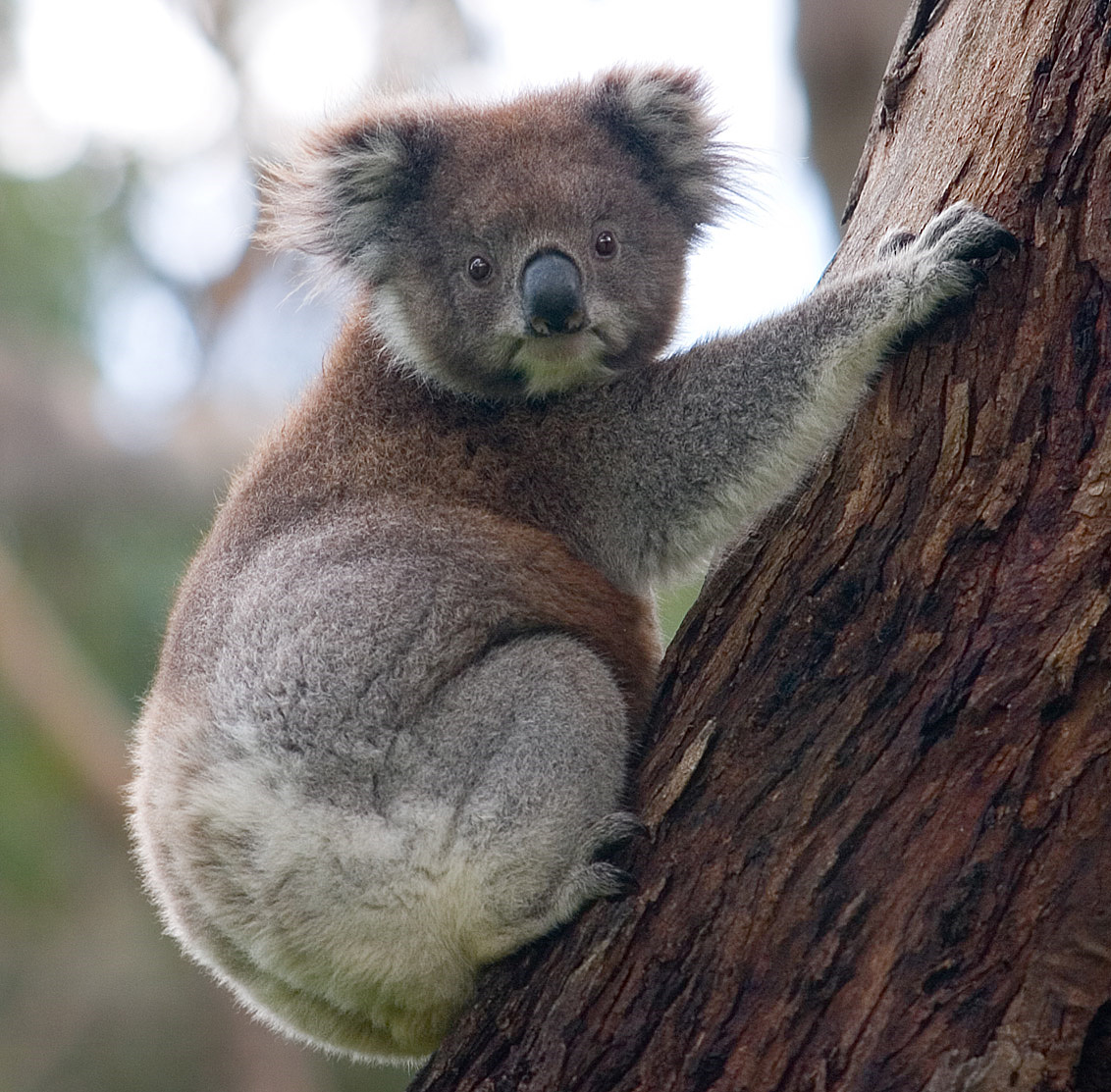


The sky over Peak Crossing
Towns and villages around Peak Crossing
Each with its own page: weather, climate and the best time to visit.
Peak Crossing from above
Postal code
Getting to Peak Crossing
Places near Peak Crossing


Places with a climate like Peak Crossing
Matched month by month on temperature, rain and sunshine.


