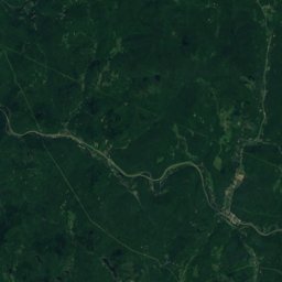
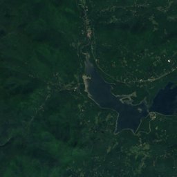
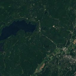
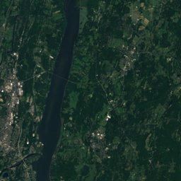
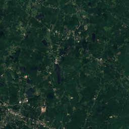
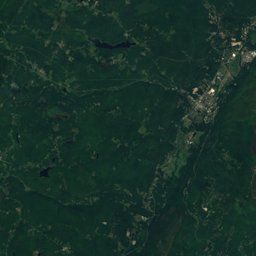
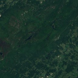
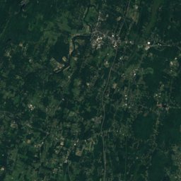
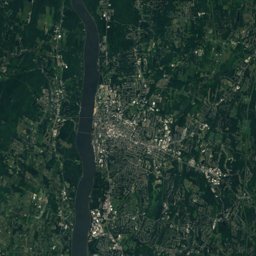
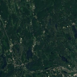
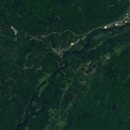
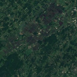
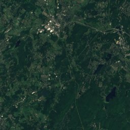
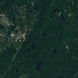
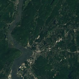
Satellite: Sentinel-2 cloudless 2016 by EOX IT Services GmbH · CC BY 4.0 · Contains modified Copernicus Sentinel data 2016
Outdoor activitiesWallkill, New York
Outdoors near Wallkill
within 15 km24places
Viewpoints11
Climbing8
41.61° N, 74.18° WElevation 262 ftUTC−4 · Eastern Daylight Time
When to goWallkill · weather score
Best timeMay · Sep–Oct
October: high / low63° / 41°
Viewpoints
| Name | Nearby | Details |
|---|---|---|
| Peter's Point | 6.6 km | |
| Gertrude's Nose | 11.2 km | |
| Millbrook Mountain Viewpoint | 11.9 km | |
| Millbrook Crag | 12 km | |
| Hamilton Point | 12.7 km | |
| High-Points Point | 12.7 km | |
| Echo Rock | 12.8 km | |
| Patterson's Pellet | 12.9 km | |
| Kempton Ledge | 13.1 km | |
| Hawkwatch | 14.5 km | |
| Beacon Hill | 14.8 km |
Climbing
| Name | Nearby | Details |
|---|---|---|
| Trapps Boulderscrag | 14.6 km | |
| Millbrookcrag | 12 km | 1,937 m |
| Near Trappscrag | 14.1 km | 1,098 m |
| Welcome Bouldercrag | 14.6 km | |
| Practice Anchorcrag | 14.6 km | |
| RMCcrag | 14.7 km | |
| Three Pines rappelcrag | 14.9 km | |
| East Pillarcrag | 15 km |
Camp sites
| Name | Nearby | Details |
|---|---|---|
| Yogi Bear’s Jellystone Park Camp-Resort at Lazy River | 8.5 km | |
| Samuel F. Pryor III Shawangunk Gateway Campground | 14.1 km | Website |
| Camp Redwood (Closed) | 6.8 km |
Golf courses
| Name | Nearby | Details |
|---|---|---|
| Turtle Creek Golf Course | 9.5 km | Website |
| Scott's Corners Golf Course | 8.5 km |
Ski areas
Places come from an open map made by volunteers: well-known sites are there, small or new ones may be missing. Opening times and prices change, so check before you go.