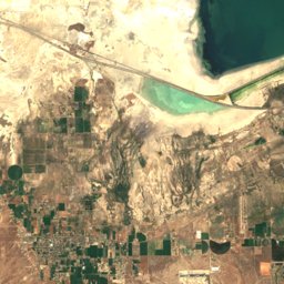
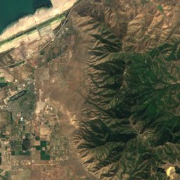
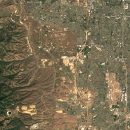
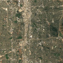
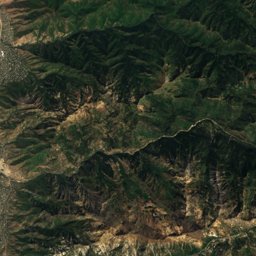
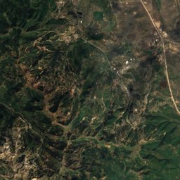
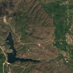
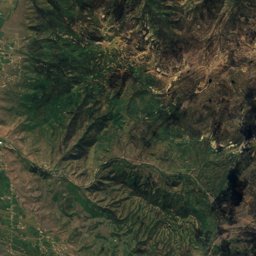
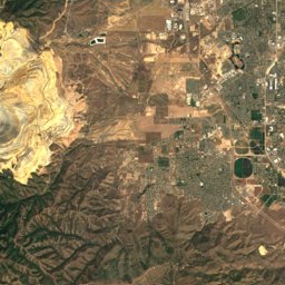
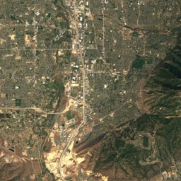
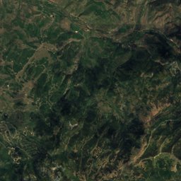
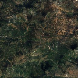
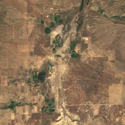
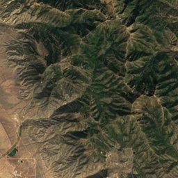
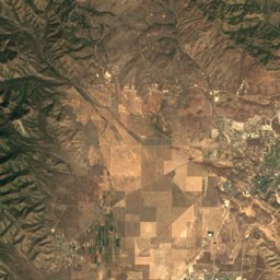
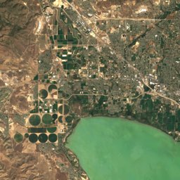
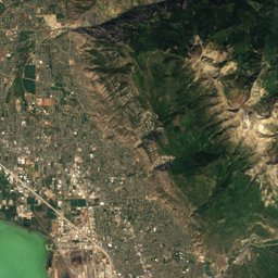
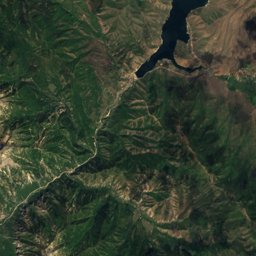
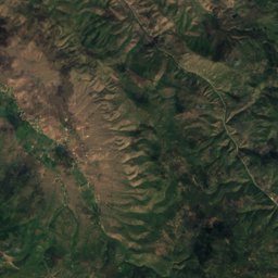
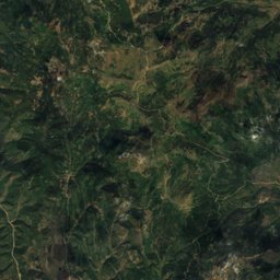
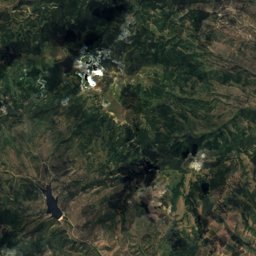
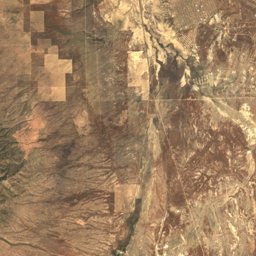
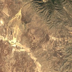
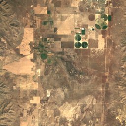
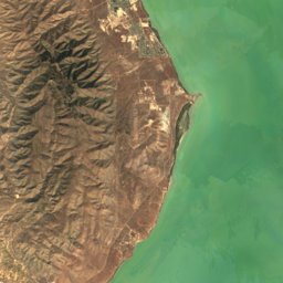
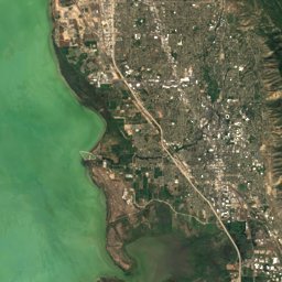
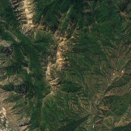
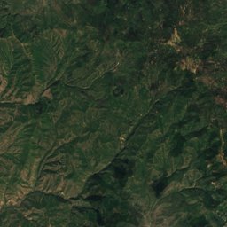
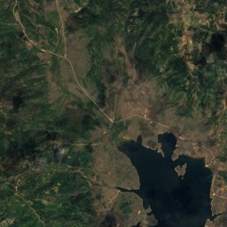
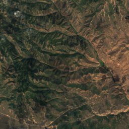
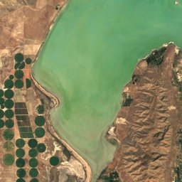
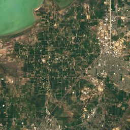
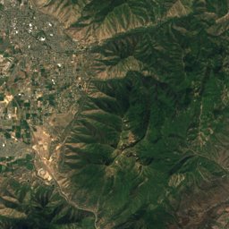
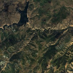
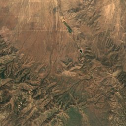
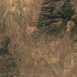
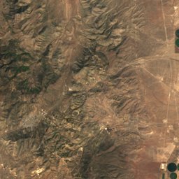
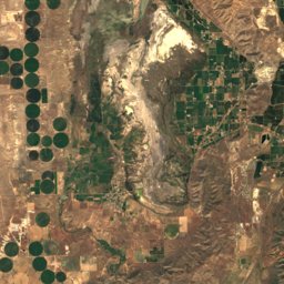
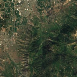
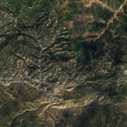
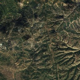
Satellite: Sentinel-2 cloudless 2016 by EOX IT Services GmbH · CC BY 4.0 · Contains modified Copernicus Sentinel data 2016
Outdoor activitiesOrem, Utah
Outdoors near Orem
within 15 km30places
Camp sites13
Viewpoints8
40.30° N, 111.69° WElevation 4,774 ftUTC−6 · Mountain Daylight Time
When to goOrem · weather score
Best timeMay · Sep–Oct
October: high / low66° / 40°
Camp sites
| Name | Nearby | Details |
|---|---|---|
| Rock Canyon Campgroundbackcountry | 9.8 km | Website |
| Hope Campground | 6.7 km | Website |
| Utah Lake State Park Campground | 7.1 km | Website |
| Lakeside RV Campgroundcaravans & motorhomes | 7.3 km | Website |
| Springville / Provo KOAcaravans & motorhomes | 12.9 km | Website |
| Mount Timpanogos | 14.3 km | Website |
| Theater In The Pines Group Campsite | 14.2 km | |
| Nunn's Park Campground | 8.2 km | |
| Gifford Pinchot Group Area | 9.7 km | |
| Aldo Leopold Group Area | 9.7 km | |
| Vivian West Group Area | 9.7 km | |
| Albert F Potter Group Area | 9.8 km |
Viewpoints
| Name | Nearby | Details |
|---|---|---|
| KhPeak Overlook | 5.9 km | |
| Rock Canyon Overlook | 9.2 km | |
| Slide Canyon Viewpoint | 10.3 km | |
| Timpanogos Falls View Point | 13.5 km | |
| Spanish Fork Canyon Overlook | 13.7 km | |
| Primrose Overlook | 14.4 km | |
| Bob's Knob | 14.6 km | |
| Alumni Overlook | 14.8 km |
Golf courses
Water parks
| Name | Nearby | Details |
|---|---|---|
| Splash Summit Water Park | 8.3 km | |
| Lindon Aquatics Center | 5.2 km | |
| Mayfield Kids Water Park | 9.5 km |
Mountain huts
| Name | Nearby | Details |
|---|---|---|
| T.E.R.T. Stationunstaffed shelter | 14.2 km |
Climbing
| Name | Nearby | Details |
|---|---|---|
| The Quarryclimbing gym | 3.9 km |
Places come from an open map made by volunteers: well-known sites are there, small or new ones may be missing. Opening times and prices change, so check before you go.