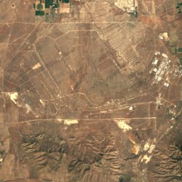
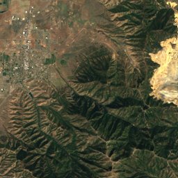
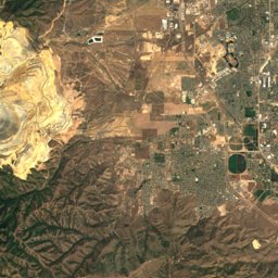
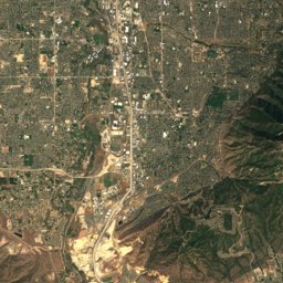
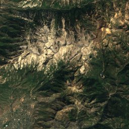
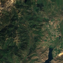
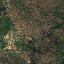
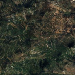
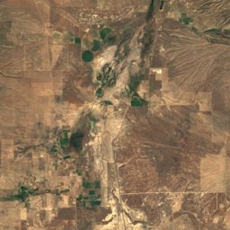
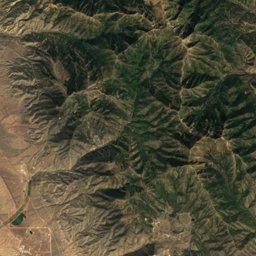
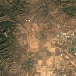
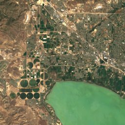
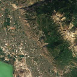
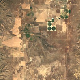
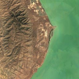
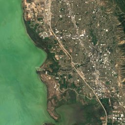
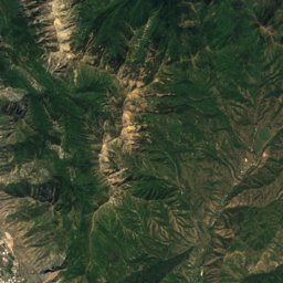
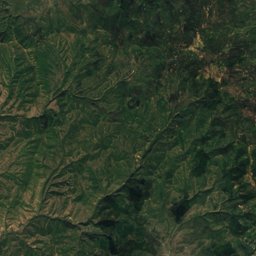
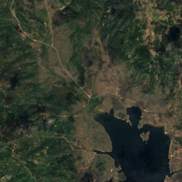
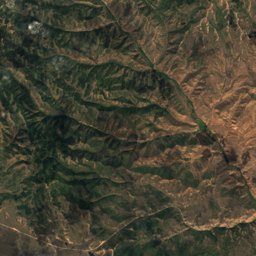
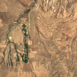
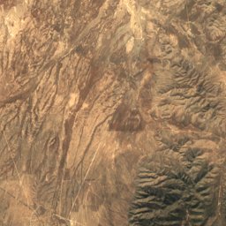
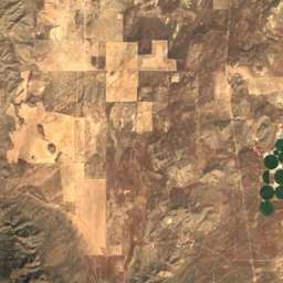
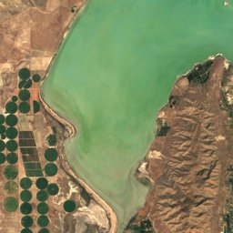
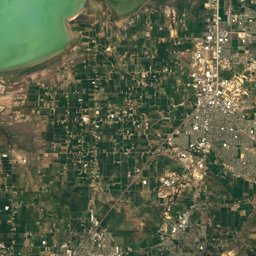
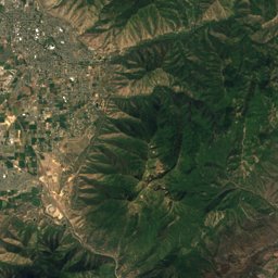
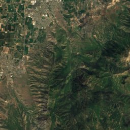
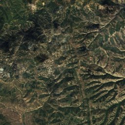
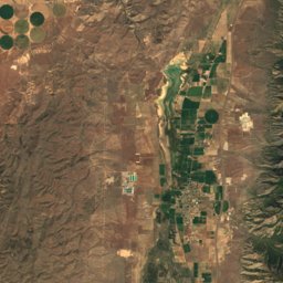
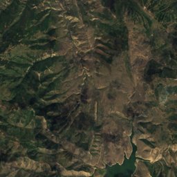
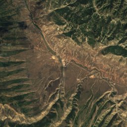
Satellite: Sentinel-2 cloudless 2016 by EOX IT Services GmbH · CC BY 4.0 · Contains modified Copernicus Sentinel data 2016
Outdoor activitiesMapleton, Utah
Outdoors near Mapleton
within 15 km17places
Camp sites12
Golf courses3
40.13° N, 111.58° WElevation 4,731 ftUTC−6 · Mountain Daylight Time
When to goMapleton · weather score
Best timeMay · Sep–Oct
October: high / low67° / 39°
Camp sites
| Name | Nearby | Details |
|---|---|---|
| Jolley's Ranch | 8.8 km | Website |
| Springville / Provo KOAcaravans & motorhomes | 8.4 km | Website |
| Cherry Campground | 9.8 km | Website |
| Diamond Fork Campground | 14.4 km | |
| Spanish Oaks Campground | 6.9 km | Website |
| Spanish Fork River Park | 13.6 km | |
| Whiting Campground | 4.6 km | |
| Canyon View RV Parkcaravans & motorhomes | 5.8 km | |
| Group A | 9.7 km | |
| Group B | 9.7 km | |
| Group D | 9.8 km | |
| Group C | 9.8 km |
Golf courses
Viewpoints
| Name | Nearby | Details |
|---|---|---|
| Spanish Fork Canyon Overlook | 9 km |
Water parks
| Name | Nearby | Details |
|---|---|---|
| Splash Summit Water Park | 12.8 km |
Places come from an open map made by volunteers: well-known sites are there, small or new ones may be missing. Opening times and prices change, so check before you go.