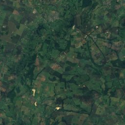
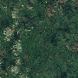
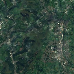
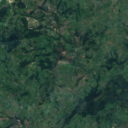
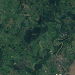
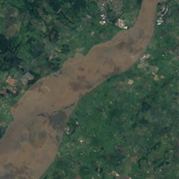
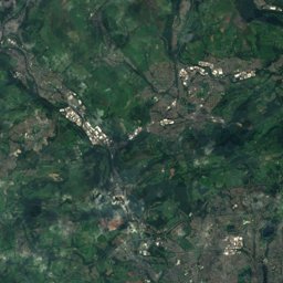
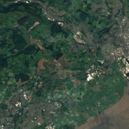
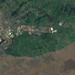
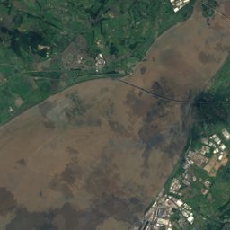
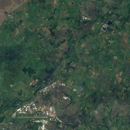
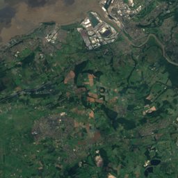
Satellite: Sentinel-2 cloudless 2016 by EOX IT Services GmbH · CC BY 4.0 · Contains modified Copernicus Sentinel data 2016
Outdoor activitiesSharpness
Outdoors near Sharpness
within 15 km43places
Camp sites19
Viewpoints12
51.72° N, 2.48° WElevation 13 mUTC+1 · British Summer Time
When to goSharpness · weather score
Best timeMay–Jun · Sep
October: high / low15° / 8°
Camp sites
| Name | Nearby | Details |
|---|---|---|
| Tudor Caravan Park | 5.7 km | Website |
| Beeches Farm Campsite | 12.4 km | Website |
| Whitemead Forest Park | 7.8 km | |
| Moorend Farm CL caravan sitecaravans & motorhomes | 6.4 km | Website |
| Hogsdown Farm | 6.5 km | Website |
| Greenacres Campsite | 13.6 km | |
| Apple Tree Parkcaravans & motorhomes | 10.2 km | |
| The Christian Adventure Centre at Viney Hill | 4.6 km | |
| Botany Bay Scout campsite | 14.5 km | |
| Enfield Parkcaravans & motorhomes | 10.1 km | |
| Conygres Scout Campsite | 11.8 km | |
| Noxon Farm Camping | 9.5 km |
Viewpoints
| Name | Nearby | Details |
|---|---|---|
| Topograph | 7.8 km | |
| Drakestone Point | 7.9 km | |
| New Fancy | 8.3 km | |
| Blaize Bailey Viewpoint | 9.5 km | |
| Coaley Peak Toposcope | 12.2 km | |
| Coombe Alpacas | 12.7 km | |
| Devil's Pulpit | 13.1 km | |
| The Rock | 14.2 km | |
| Wintour's Leap | 14.3 km | |
| South Terrace | 14.4 km | |
| Picnic Tables | 14.4 km | |
| Duchess Ride | 14.8 km |
Golf courses
Climbing
| Name | Nearby | Details |
|---|---|---|
| Wintour's Leapcrag | 14.2 km | 78 m · Website |
| Wyndcliffe Quarrycrag | 14.9 km |
Zoos
| Name | Nearby | Details |
|---|---|---|
| Slimbridge Wetland Centre | 5.5 km | Website |
| Whitcliff Park (Deer Park) | 5.3 km |
Theme parks
| Name | Nearby | Details |
|---|---|---|
| Cattle Country Farm Park | 3.9 km |
Diving
- The Lake11.3 km
Places come from an open map made by volunteers: well-known sites are there, small or new ones may be missing. Opening times and prices change, so check before you go.