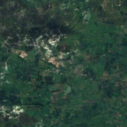
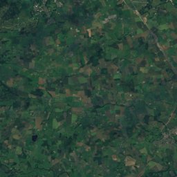
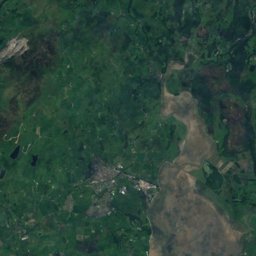
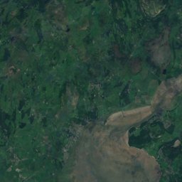
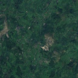
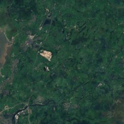

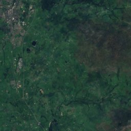
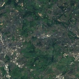
Satellite: Sentinel-2 cloudless 2016 by EOX IT Services GmbH · CC BY 4.0 · Contains modified Copernicus Sentinel data 2016
Outdoor activitiesHellifield
Outdoors near Hellifield
within 15 km34places
Camp sites22
Golf courses6
54.00° N, 2.22° WElevation 146 mUTC+1 · British Summer Time
When to goHellifield · weather score
Best timeJun–Aug
October: high / low13° / 6°
Camp sites
| Name | Nearby | Details |
|---|---|---|
| Gallaber Park | 1.2 km | Website |
| Holgates Ribble Valleycaravans & motorhomes | 10 km | Website |
| Orcaber Farm Campingcaravans & motorhomes | 14.5 km | Website |
| Lower Greenhill Holiday Park | 12.1 km | Website |
| The Dalesbridge | 14.4 km | Website |
| Threaplands Caravan & Camping Parkcaravans & motorhomes | 13.6 km | Website |
| Wood Nook Caravan & Camping Parkcaravans & motorhomes | 14 km | Website |
| Silloth House Campsite | 14.7 km | Website |
| Tarn House Leisure Park and Country Inncaravans & motorhomes | 12.7 km | |
| Langcliffe Parkcaravans & motorhomes | 9.4 km | |
| Knight Stainforth Hall Camping & Caravan Parkcaravans & motorhomes | 11.2 km | |
| Wharfedale Caravan Club Sitecaravans & motorhomes | 14.8 km |
Golf courses
Viewpoints
| Name | Nearby | Details |
|---|---|---|
| Scaleber Force Waterfall | 6.2 km | |
| Janet's Foss | 8.8 km | |
| Gordale Scar | 9.3 km |
Climbing
| Name | Nearby | Details |
|---|---|---|
| Castleberg Cragcrag | 7.8 km | 64 m |
| Rylstone cragcrag | 13.1 km | 23 m |
Mountain huts
| Name | Nearby | Details |
|---|---|---|
| Downham Camping Barnunstaffed shelter | 13.5 km |
Places come from an open map made by volunteers: well-known sites are there, small or new ones may be missing. Opening times and prices change, so check before you go.