





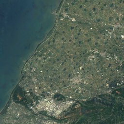
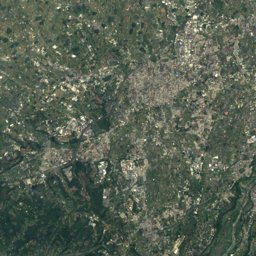
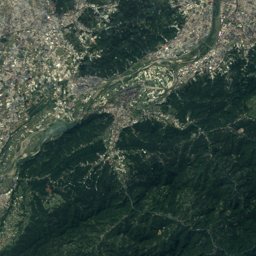





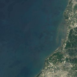
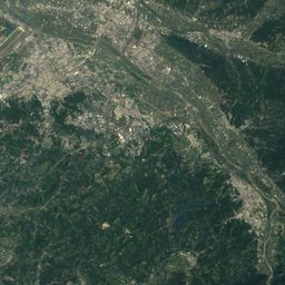
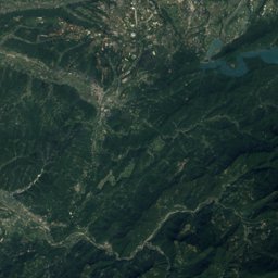
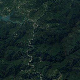




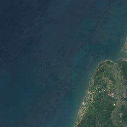
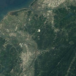




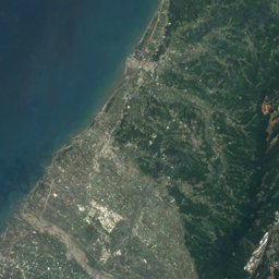
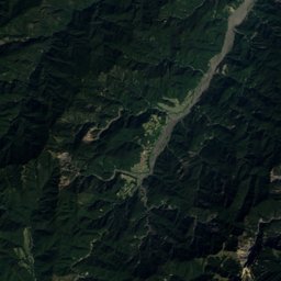



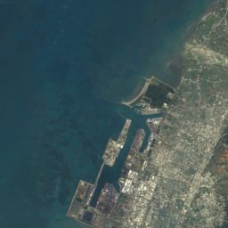
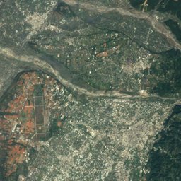
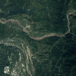
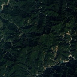
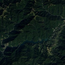
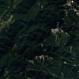


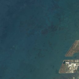
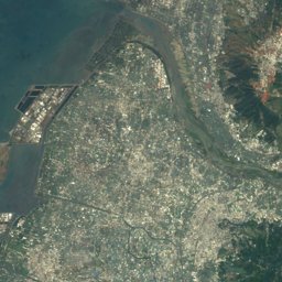
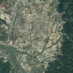
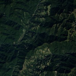
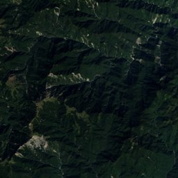
Satellite: Sentinel-2 cloudless 2016 by EOX IT Services GmbH · CC BY 4.0 · Contains modified Copernicus Sentinel data 2016
Outdoor activitiesZhonghe, Taiwan
Outdoors near Zhonghe
within 15 km48places
Camp sites20
Viewpoints18
24.41° N, 120.78° EElevation 278 mUTC+8 · Taiwan Standard Time
When to goZhonghe · weather score
Best timeJan–Feb · Nov
October: high / low26° / 21°
Camp sites
Viewpoints
| Name | Nearby | Details |
|---|---|---|
| 稻田彩繪觀景台 | 13 km | |
| 觀景台 | 12.9 km | |
| 龍騰斷橋 | 6.1 km | |
| 龍騰斷橋遺址南斷橋 | 6.2 km | |
| 最高點平台 | 6.9 km | |
| 客屬大橋 | 7.4 km | |
| 鯉魚潭水庫大壩 | 7.7 km | |
| 鋸齒堰 | 8 km | |
| 鯉魚潭水庫觀景台 | 8.2 km | |
| 山腳國小日治後期宿舍群 | 9.2 km | |
| 鯉魚潭水庫觀景台 | 9.3 km | |
| 火炎山觀景台 | 11 km |
Theme parks
Golf courses
| Name | Nearby | Details |
|---|---|---|
| 全國高爾夫花園球場 | 6.2 km | |
| 泰峰高爾夫鐵砧山練習場 | 14.5 km |
Hot springs & thermal baths
| Name | Nearby | Details |
|---|---|---|
| 石湯溫泉natural spring | 8.9 km |
Climbing
| Name | Nearby | Details |
|---|---|---|
| 攀岩塔crag | 14.7 km |
Surf spots
| Name | Nearby | Details |
|---|---|---|
| cowabunga!surf | 12.4 km |
Places come from an open map made by volunteers: well-known sites are there, small or new ones may be missing. Opening times and prices change, so check before you go.