

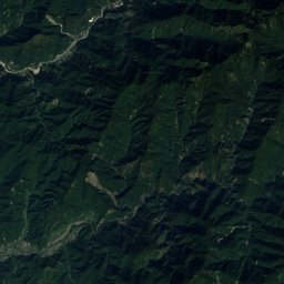
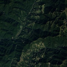
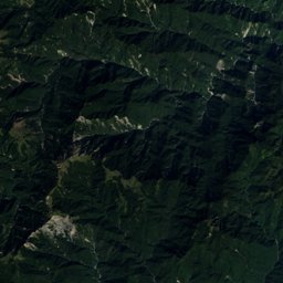


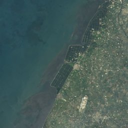
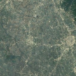
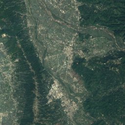
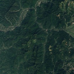
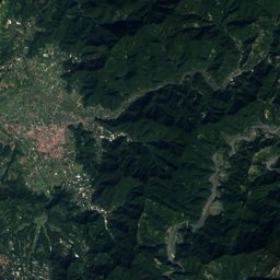
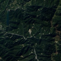
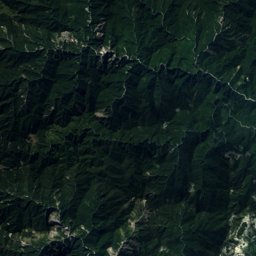

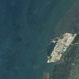
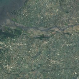
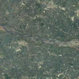
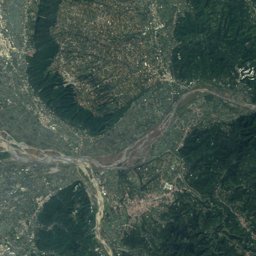
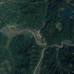
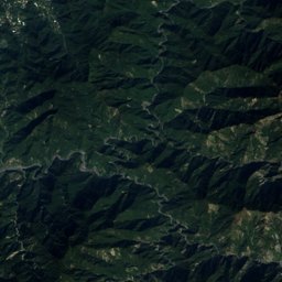
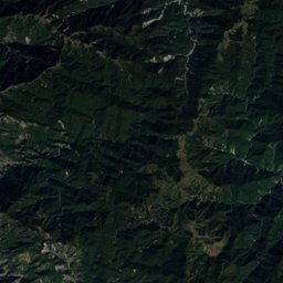
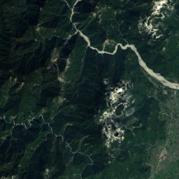

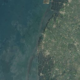
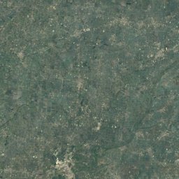
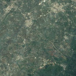
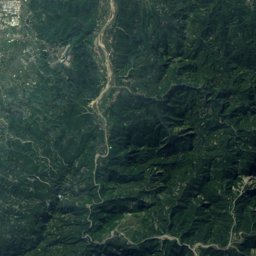
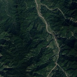
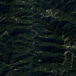
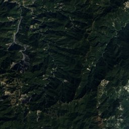
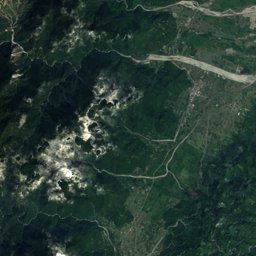

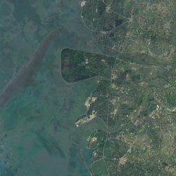
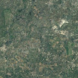
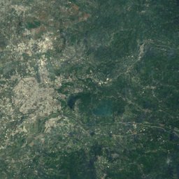
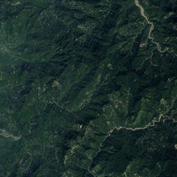
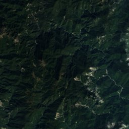
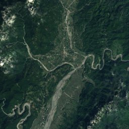

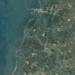
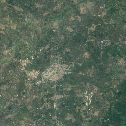
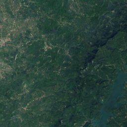
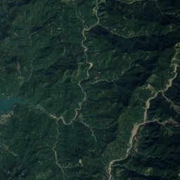
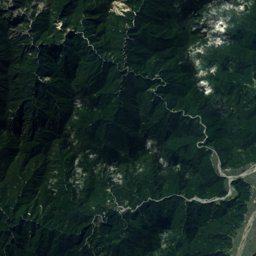
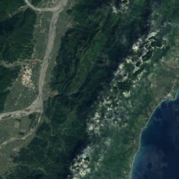
Satellite: Sentinel-2 cloudless 2016 by EOX IT Services GmbH · CC BY 4.0 · Contains modified Copernicus Sentinel data 2016
Outdoor activitiesCaoling
Outdoors near Caoling
within 15 km115places
Viewpoints87
Camp sites24
23.58° N, 120.69° EElevation 747 mUTC+8 · Taiwan Standard Time
When to goCaoling · weather score
Best timeJan–Feb · Dec
October: high / low25° / 18°
Viewpoints
| Name | Nearby | Details |
|---|---|---|
| Sunset platform | 14.4 km | |
| Fenqihu Shinto Shrine | 8.4 km | |
| Chinglong Waterfall | 11 km | |
| Pond with dead trees | 11.1 km | |
| Shiand-Hsin Valley | 11.3 km | |
| 169 Shizhuo Observation Deck | 11.8 km | |
| Wangyou Forest | 12.6 km | |
| Cloud Sea | 13.6 km | |
| Duigaoyue Viewing Lot | 14.8 km | |
| 後棟仔涼亭 | 6.9 km | |
| 蓬萊瀑布步道觀景平台 | 2.1 km | |
| 蓬萊瀑布觀景平台 | 2.1 km |
Camp sites
Theme parks
Mountain huts
| Name | Nearby | Details |
|---|---|---|
| 杉林春茶居staffed | 12.1 km |
Places come from an open map made by volunteers: well-known sites are there, small or new ones may be missing. Opening times and prices change, so check before you go.