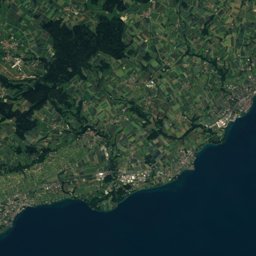
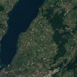
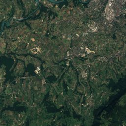
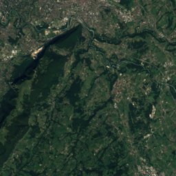
Satellite: Sentinel-2 cloudless 2016 by EOX IT Services GmbH · CC BY 4.0 · Contains modified Copernicus Sentinel data 2016
Outdoor activitiesPuplinge
Outdoors near Puplinge
within 15 km60places
Climbing25
Viewpoints13
46.21° N, 6.23° EElevation 431 mUTC+2 · Central European Summer Time
When to goPuplinge · weather score
Best timeMay–Jun · Sep
October: high / low16° / 7°
Climbing
| Name | Nearby | Details |
|---|---|---|
| Boulder Carrouselcrag | 9.8 km | Website |
| Cliff Les Balmescrag | 9.9 km | Website |
| Arkose Genevoisclimbing gym | 4.2 km | Website |
| Centre Genève Montagneclimbing gym | 8.6 km | Website |
| Le Coincrag | 9.7 km | Website |
| TOTEM Escalade Vernier Le Môllclimbing gym | 9.9 km | Website |
| Planet Climbingcrag | 11 km | Website |
| Structure Pan d'Escaladeclimbing gym | 11.1 km | Website |
| Totem Meyrinclimbing gym | 12.2 km | Website |
| Boulder the Golfcrag | 7.8 km | |
| Boulder la Lamecrag | 8 km | |
| Salève - Monnetiercrag | 5.6 km | 750 m |
Viewpoints
| Name | Nearby | Details |
|---|---|---|
| Chill place | 7.7 km | |
| Crêt du Chable | 5.5 km | |
| Belvédère de l'Observatoire | 6.2 km | |
| Panorama sur le bassin genevois | 6.9 km | |
| Lake Geneva Overlook | 8.2 km | |
| La pointe de la Jonction | 8.5 km | |
| Panorama sur les Alpes | 9.2 km | |
| Saut de la Pucelle | 9.5 km | |
| Foto-Spot Château de Coppet | 12 km | |
| Belvédère de Crémillon | 12.3 km | |
| Belvédère du Beulet | 13.3 km | |
| Le Signal | 13.4 km |
Golf courses
| Name | Nearby | Details |
|---|---|---|
| Golf Country Club d'Ésery | 7.8 km | Website |
| Golf & Country Club de Bossey | 7.9 km | Website |
| Golf du Léman | 7.5 km | Website |
| Golf de la Manchette | 14.7 km | |
| Golf de Mornex | 6.3 km | Website |
| Golf Club de Genève | 3.1 km | Website |
| Footgolf des Evaux | 11.2 km | Website |
| Golf de Machilly | 9.5 km | Website |
| Golf de la Vieille-Bâtie | 12.2 km |
Camp sites
Zoos
Mountain huts
Theme parks
| Name | Nearby | Details |
|---|---|---|
| Yatouland | 8 km | Website |
Diving
- Lac Léman-Le Creux-de-Genthod7.9 km
- Lac Léman-Le Boesch7.9 km
- Lac Léman-Le Paradis7.9 km
- Plage d'Hermance10.4 km
Hiking routes
Places come from an open map made by volunteers: well-known sites are there, small or new ones may be missing. Opening times and prices change, so check before you go.