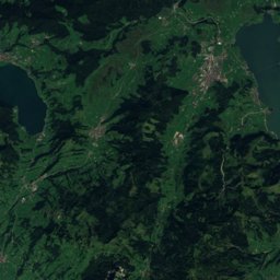
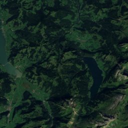
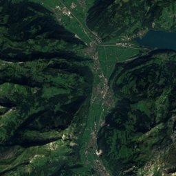
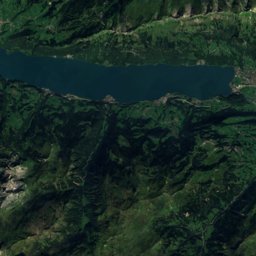
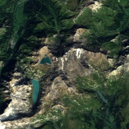
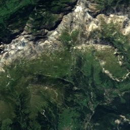
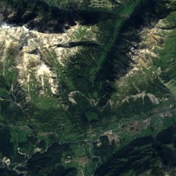
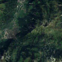
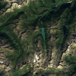
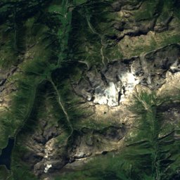
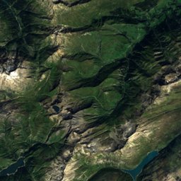
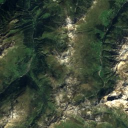
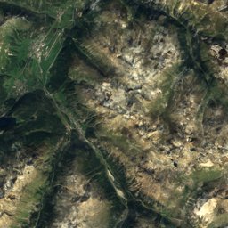
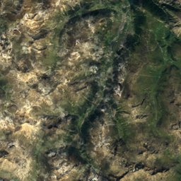
Satellite: Sentinel-2 cloudless 2016 by EOX IT Services GmbH · CC BY 4.0 · Contains modified Copernicus Sentinel data 2016
Outdoor activitiesLenzerheide
Outdoors near Lenzerheide
within 15 km52places
Viewpoints21
Camp sites18
46.72° N, 9.56° EElevation 1,473 mUTC+2 · Central European Summer Time
When to goLenzerheide · weather score
Best timeJun–Aug
October: high / low11° / 2°
Viewpoints
| Name | Nearby | Details |
|---|---|---|
| (Großer) Alteinwasserfall | 10.8 km | 1,862 m |
| Kleiner Alteinwasserfall | 10.9 km | 1,683 m |
| Crap la Tretscha | 4.2 km | 1,411 m |
| View to Wiesner Viaduct | 11.4 km | |
| Scalottas | 3.7 km | |
| Aussichtspunkt Crap Carschenna | 8.4 km | |
| Hirtenstock | 9.6 km | |
| Aussichtspunkt Känzeli Thusis | 9.8 km | |
| Landwasserviadukt - Aussichtsplattform Nord (Hennings) | 9.9 km | |
| Aussichtspunkt Sogn Luregn, Paspels | 10 km | |
| Landwasserviadukt - Aussichtsplattform Süd (Acatos) | 10.1 km | |
| Foto-Spot Viamala-Schlucht | 10.7 km |
Camp sites
| Name | Nearby | Details |
|---|---|---|
| Camping Cumpogna Tiefencastel | 7.1 km | ★★ · Website |
| Gravas | 0.3 km | Website |
| St. Cassian | 2.7 km | Website |
| Camping Islas | 10.5 km | Website |
| Camping Pradafenz | 6.3 km | Website |
| Rania | 11.6 km | Website |
| Stellplatz Furgglis, Tschiertschencaravans & motorhomes | 10 km | Website |
| Arosa | 10.6 km | ★★ |
| Hof Biomonti | 8 km | Website |
| Wohnmobil-Stellplatz +plus+ Heinzenberg-Leschacaravans & motorhomes | 11.8 km | Website |
| TCS Camping Thusis Viamala | 9.1 km | |
| Sozas | 5.3 km |
Golf courses
Mountain huts
Climbing
Hot springs & thermal baths
| Name | Nearby | Details |
|---|---|---|
| Bad Alvaneuthermal baths | 9.1 km | Website |
Zoos
| Name | Nearby | Details |
|---|---|---|
| Arosa Bärenland | 10.8 km | Website |
Diving
- Igl Lai (Heidsee)-Seerestaurant1.9 km
- Scubalino14.2 km
- Clubhaus Tauchclub Orca15.4 km
Hiking routes
Places come from an open map made by volunteers: well-known sites are there, small or new ones may be missing. Opening times and prices change, so check before you go.