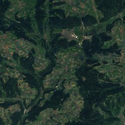
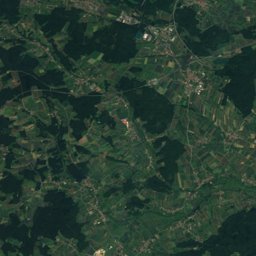
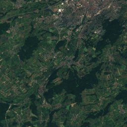
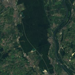
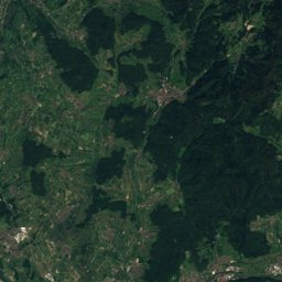
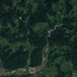
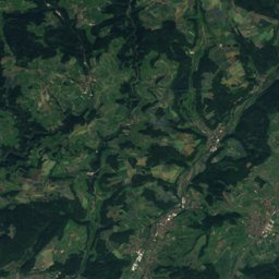
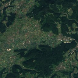
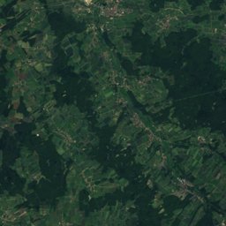
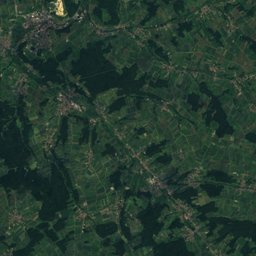
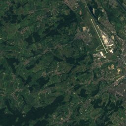
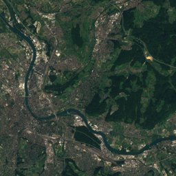
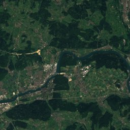
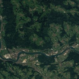
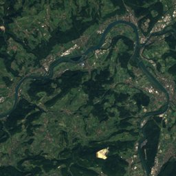
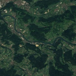
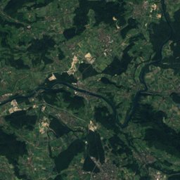
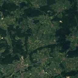
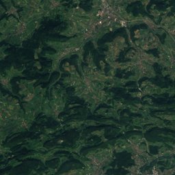
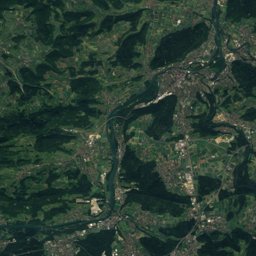
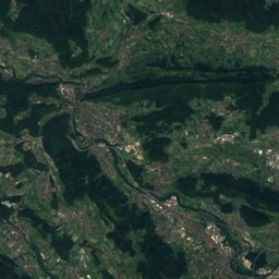
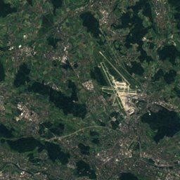
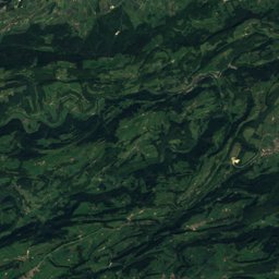
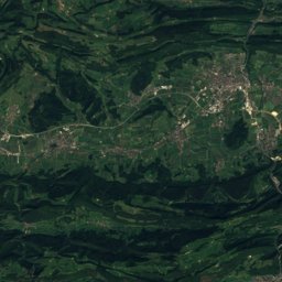
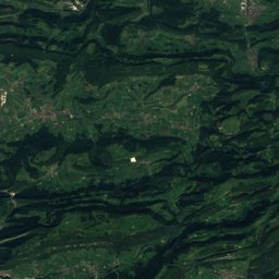
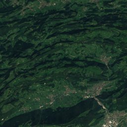
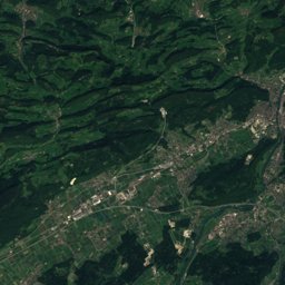
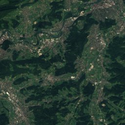
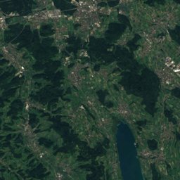
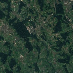
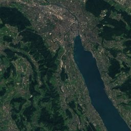
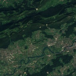
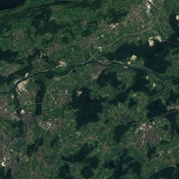
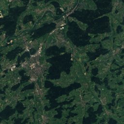
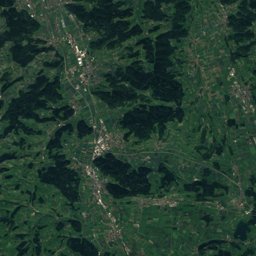
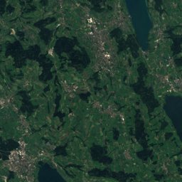
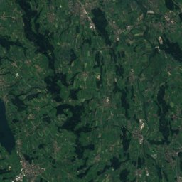
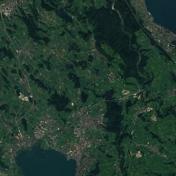
Satellite: Sentinel-2 cloudless 2016 by EOX IT Services GmbH · CC BY 4.0 · Contains modified Copernicus Sentinel data 2016
Outdoor activitiesHellikon
Outdoors near Hellikon
within 15 km87places
Viewpoints44
Camp sites17
47.51° N, 7.92° EElevation 413 mUTC+1 · Central European Standard Time
When to goHellikon · weather score
Best timeJul–Sep
October: high / low14° / 7°
Viewpoints
| Name | Nearby | Details |
|---|---|---|
| Cheisacherturm | 14.5 km | Website |
| Wisenbergturm | 12.3 km | 1,002 m |
| Schleifenbergturm | 13.1 km | 603 m |
| Aussichtsturm Sonnenberg | 6.4 km | |
| Burgfluh | 8.3 km | 790 m |
| Böckterflue | 7.8 km | 740 m |
| Rickenbacker Flue | 7.5 km | 730 m |
| Sissacherflue | 8.7 km | 699 m |
| Kellerlesfelsen | 10.1 km | 600 m |
| Laufenburger Chopf | 11.8 km | 470 m |
| Schwarzwaldblick | 12.2 km | 464 m |
| Chaisterchopf | 11.6 km | 417 m |
Camp sites
| Name | Nearby | Details |
|---|---|---|
| Camping Park Mumpf | 4.1 km | Website |
| Camping Frick | 7.2 km | Website |
| Zeltplatz Schwörstadt | 9.3 km | Website |
| Camping Bachtalen | 9.8 km | Website |
| Campingplatz Talhaus | 14.7 km | Website |
| Camping Rüttehof-Rickenbach | 14.3 km | Website |
| Naturcamping & Kanuverleih | 8.3 km | Website |
| Am Rheinufer Bad Säckingencaravans & motorhomes | 4.7 km | Website |
| Wohnmobilstellplatz Wehrcaravans & motorhomes | 12.8 km | Website |
| Reisemobilstellplatz am Naturerlebnisbad Murgcaravans & motorhomes | 8.8 km | Website |
| Wohnmobilstellplatz Laufenburg CHcaravans & motorhomes | 12.2 km | Website |
| Andelsbachparkplatzcaravans & motorhomes | 12.4 km | Website |
Golf courses
Climbing
Zoos
Hot springs & thermal baths
Hot springs & thermal baths in Aargau
Theme parks
Mountain huts
| Name | Nearby | Details |
|---|---|---|
| Isletenhütteunstaffed shelter | 7.6 km |
Diving
- Strandbad12 km
- Promosystem AG15.1 km
- Rüchligwehr15.6 km
- Kraftwerk16.2 km
Hiking routes
Places come from an open map made by volunteers: well-known sites are there, small or new ones may be missing. Opening times and prices change, so check before you go.