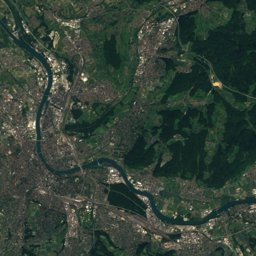
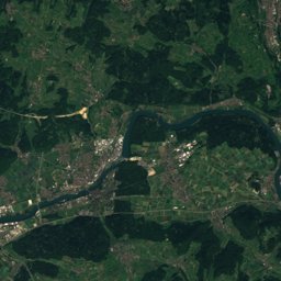
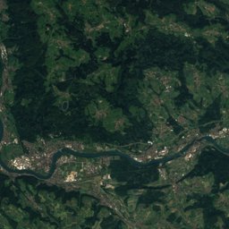
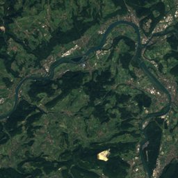
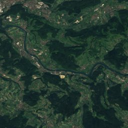
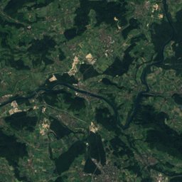
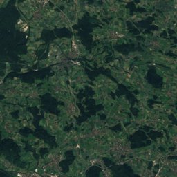
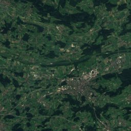
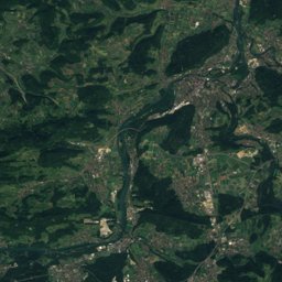
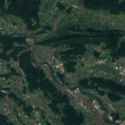
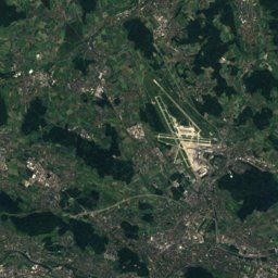
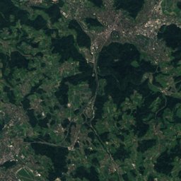
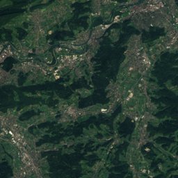
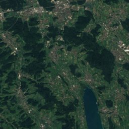
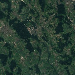
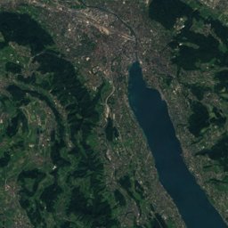
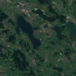
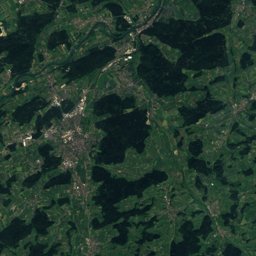
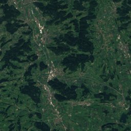
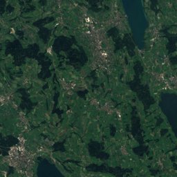
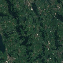
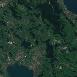
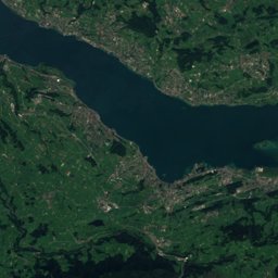
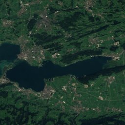
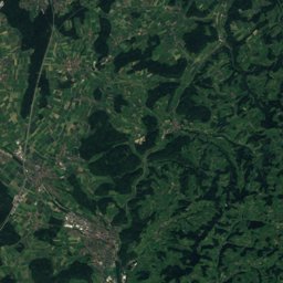
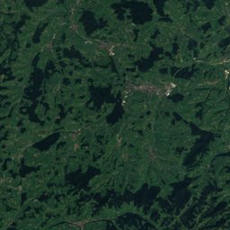
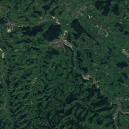
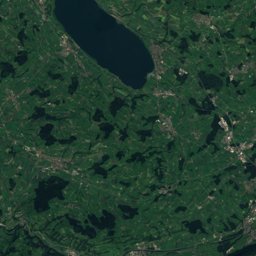
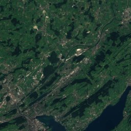
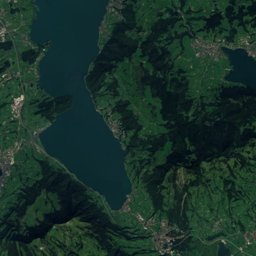
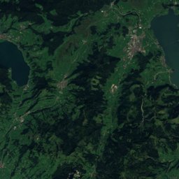
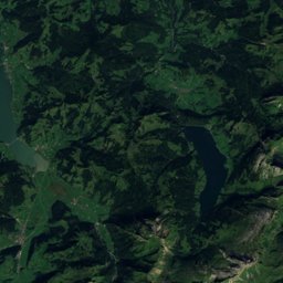
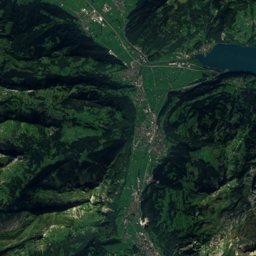
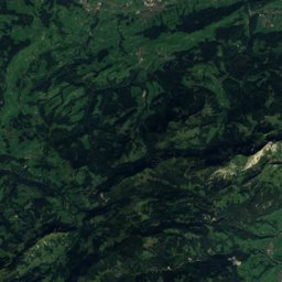
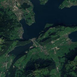
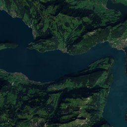
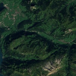
Satellite: Sentinel-2 cloudless 2016 by EOX IT Services GmbH · CC BY 4.0 · Contains modified Copernicus Sentinel data 2016
Outdoor activitiesCham, Switzerland
Outdoors near Cham
within 15 km56places
Viewpoints23
Camp sites10
47.18° N, 8.46° EElevation 420 mUTC+1 · Central European Standard Time
When to goCham · weather score
Best timeJul–Sep
October: high / low15° / 7°
Viewpoints
| Name | Nearby | Details |
|---|---|---|
| Aussichtsturm Hochwacht Albis | 10.7 km | |
| Wildspitz | 13.9 km | 1,580 m |
| Bruhsthöchi | 12.6 km | 1,100 m |
| Hirzel Höchi, Aussichtspunkt | 11.1 km | 764 m |
| Reuss | 3.2 km | |
| Guggi | 4.4 km | |
| Hochwacht | 7 km | |
| Michaelskreuz | 8.3 km | |
| Josefsgütsch | 8.4 km | |
| Foren wegweiser | 9.2 km | |
| Weisses Kreuz | 10.6 km | |
| Aussicht mit 2 Bänklein | 11.1 km |
Camp sites
| Name | Nearby | Details |
|---|---|---|
| TCS Camping Unterägeri | 11.5 km | Website |
| Campingplatz Türlersee | 10.1 km | Website |
| Reussbrücke | 12.1 km | Website |
| Campingplatz Gerbe | 6.9 km | Website |
| Camping Vierwaldstättersee | 14.2 km | Website |
| Sihlwald | 11.6 km | Website |
| Camping Naas-Sod | 14.4 km | Website |
| Geissau | 12.6 km | |
| Chällermatt | 14.6 km | |
| Camping/ Erleb. Bauernhof Gerbe | 6.9 km |
Zoos
Climbing
Golf courses
Mountain huts
| Name | Nearby | Details |
|---|---|---|
| Pflanzschulhütteunstaffed shelter | 12.4 km | Website |
| Bannegghütteunstaffed shelter | 13.3 km | |
| St. Hubertus Hütteunstaffed shelter | 7.3 km |
Surf spots
| Name | Nearby | Details |
|---|---|---|
| Mall of Switzerland Freizeitgebäudesurf | 12.8 km |
Diving
- Vorstad4.1 km
- Altstadt4.2 km
- Tellenörtli4.9 km
- Rigiblick5.2 km
Hiking routes
Places come from an open map made by volunteers: well-known sites are there, small or new ones may be missing. Opening times and prices change, so check before you go.