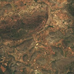
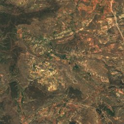
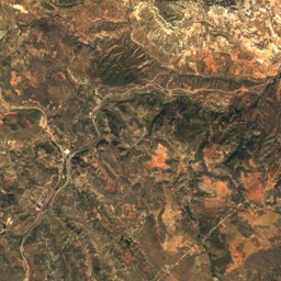
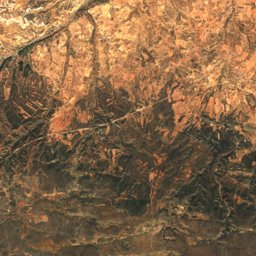
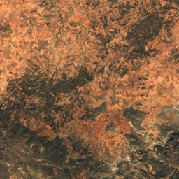
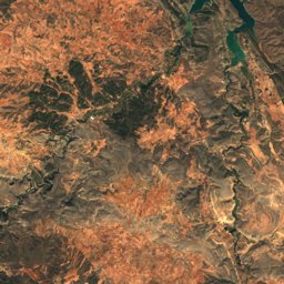
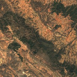
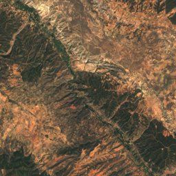
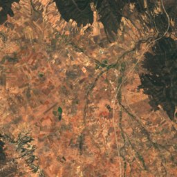
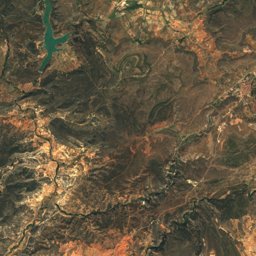
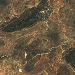
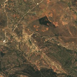
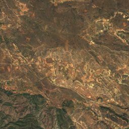
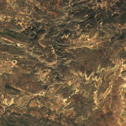
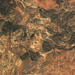
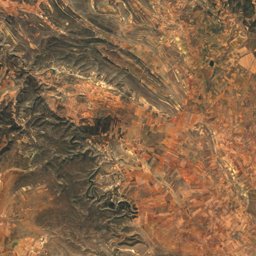
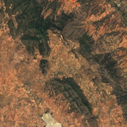
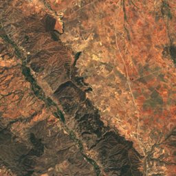
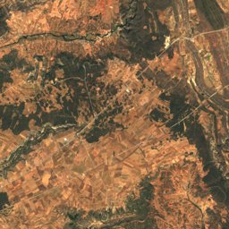
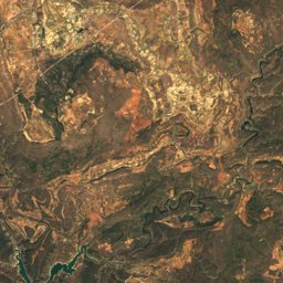
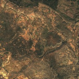
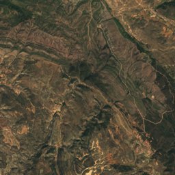
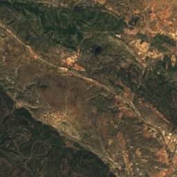
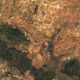
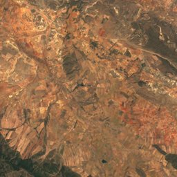
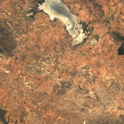
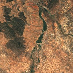
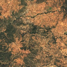
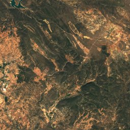
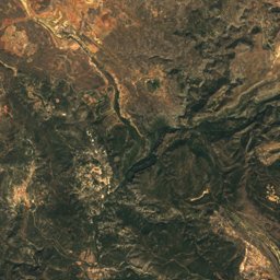
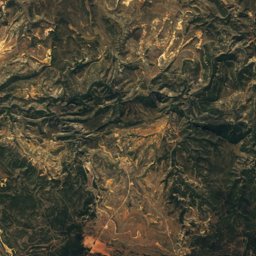
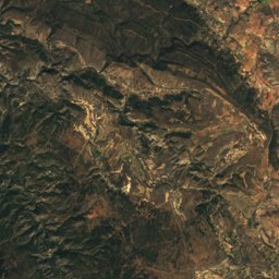
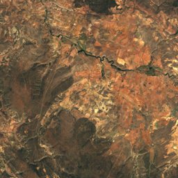
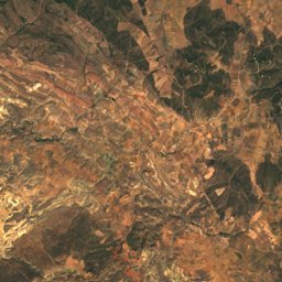
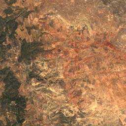
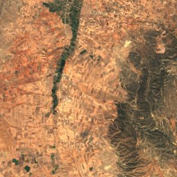
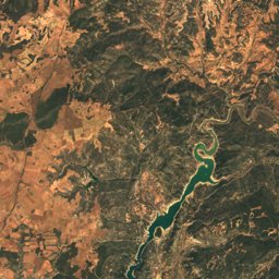
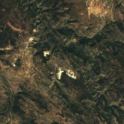
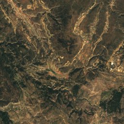
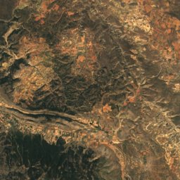
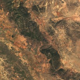
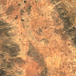
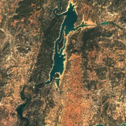
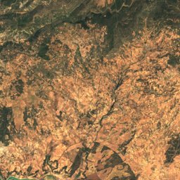
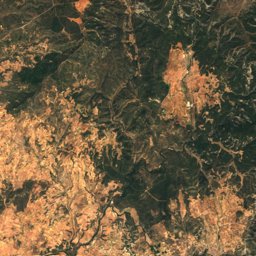
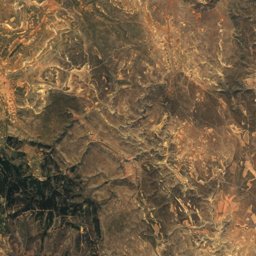
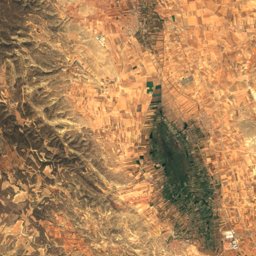
Satellite: Sentinel-2 cloudless 2016 by EOX IT Services GmbH · CC BY 4.0 · Contains modified Copernicus Sentinel data 2016
Outdoor activitiesTierzo
Outdoors near Tierzo
within 15 km17places
Mountain huts10
Camp sites4
40.75° N, 1.93° WElevation 1,145 mUTC+1 · Central European Standard Time
When to goTierzo · weather score
Best timeJun · Sep–Oct
October: high / low18° / 4°
Mountain huts
| Name | Nearby | Details |
|---|---|---|
| Refugio de la Fuente de las Tobasunstaffed shelter | 12.3 km | Website |
| Refugio del Vado de Salmerónunstaffed shelter | 13.3 km | Website |
| Refugio Alto de la Cartillaunstaffed shelter | 11.9 km | |
| Pariderastaffed | 8.1 km | |
| Pariderasstaffed | 8.3 km | |
| Parideras y corralesstaffed | 8.3 km | |
| Corralunstaffed shelter | 8.3 km | |
| Chozón Sabinerostaffed | 8.3 km | |
| Chozón Sabinerostaffed | 8.8 km | |
| Nave agrícolaunstaffed shelter | 9.3 km |
Mountain huts in Castille-La Mancha
Camp sites
| Name | Nearby | Details |
|---|---|---|
| Área recreativa «Fuente del Berro» | 11.5 km | |
| Àrea autocaravanes Molina de Aragóncaravans & motorhomes | 11.4 km | |
| Campamento Fuente de la Peñuela | 11.9 km | |
| Aparcamiento día y noche. Área recreativa Corduentecaravans & motorhomes | 12.8 km |
Camp sites in Castille-La Mancha
Viewpoints
| Name | Nearby | Details |
|---|---|---|
| Mirador del Alto Tajo | 10.9 km | |
| Pie y medio | 11.8 km |
Climbing
| Name | Nearby | Details |
|---|---|---|
| El husoclimbing gym | 10.5 km |
Places come from an open map made by volunteers: well-known sites are there, small or new ones may be missing. Opening times and prices change, so check before you go.