

















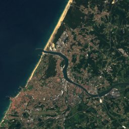

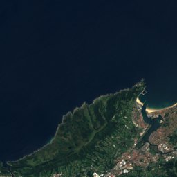
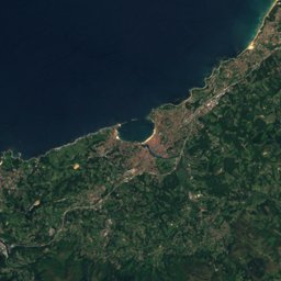
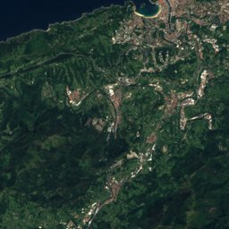
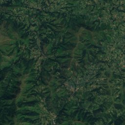
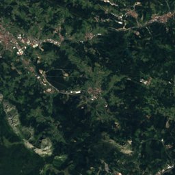
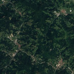
Satellite: Sentinel-2 cloudless 2016 by EOX IT Services GmbH · CC BY 4.0 · Contains modified Copernicus Sentinel data 2016
Outdoor activitiesIrun
Outdoors near Irun
within 15 km95places
Camp sites42
Viewpoints20
43.34° N, 1.79° WElevation 23 mUTC+1 · Central European Standard Time
When to goIrun · weather score
Best timeJul–Sep
October: high / low21° / 13°
Camp sites
| Name | Nearby | Details |
|---|---|---|
| Col d'Ibardin | 8.5 km | ★★★★ · Website |
| Camping International Erromardie | 14.4 km | ★★★★ · Website |
| Larrouleta | 9 km | ★★★ · Website |
| Alturan | 4.4 km | ★★★ · Website |
| Chibau Berria - Camping Municipal | 14.6 km | ★★ · Website |
| GCU Hendaye | 5.1 km | ★★ · Website |
| GCU Socoa | 9.5 km | ★★ · Website |
| Les Acacias | 4.9 km | ★★★ |
| Camping Village Eskualduna Hendaia | 5.8 km | Website |
| Camping Juantcho | 9.8 km | Website |
| La Corniche | 6.1 km | Website |
| Ametza | 4.6 km | Website |
Viewpoints
| Name | Nearby | Details |
|---|---|---|
| Erentzin's paramoudras | 6.9 km | |
| Labetxu canyon | 7.2 km | |
| white maze | 7.2 km | |
| Tower 1 | 8.6 km | |
| Akerregi Arraila | 7.4 km | |
| Arrail Txikia | 7.4 km | |
| Mokozabalaren begiratokia | 1.1 km | |
| Lertxuntxoaren begiratokia | 1.3 km | |
| Arburu | 3.8 km | |
| Belvédère Pointe Sainte-Anne | 5.8 km | |
| Biosnar lurmuturra | 6.6 km | |
| Erantzintxabaleta | 6.8 km |
Climbing
| Name | Nearby | Details |
|---|---|---|
| The Factory Boulderclimbing gym | 13.2 km | Website |
| Ohianacrag | 4.3 km | |
| Leungo arkaitzakcrag | 5.1 km | |
| Arkalecrag | 5.4 km | |
| Txakur Txikicrag | 5.8 km | |
| Tximistarricrag | 6.2 km | |
| Tetxocrag | 7.1 km | |
| Las Olas, Jaizkibelcrag | 8.8 km | |
| Origenes Jaizkibelcrag | 9.1 km | |
| Jaizkibel M.T.crag | 10.7 km | |
| Pasaiacrag | 11.1 km | |
| Putakio Eskaladacrag | 12.2 km |
Mountain huts
| Name | Nearby | Details |
|---|---|---|
| Arrano Xolaunstaffed shelter | 12.9 km | 570 m |
| Cabane de Akerregistaffed | 7.4 km | |
| Aritxulegi Bordaunstaffed shelter | 7.6 km | |
| Otraitz bordaunstaffed shelter | 10.7 km | |
| Irubietako bordaunstaffed shelter | 11.5 km | |
| Pagotzartestaffed | 13.8 km | |
| Ezpalaurgiko bordaunstaffed shelter | 11.6 km | |
| Burkondo Bordaunstaffed shelter | 12 km |
Mountain huts in Basque Country
Surf spots
Waves, next days
| Mon 26 | Tue 27 | Wed 28 | Thu 29 | Fri 30 | |
|---|---|---|---|---|---|
| Profdesurf.com, Boutique 21 - Bakun école de surf +4 | 2.8 m7 s · south-west | 3 m8 s · south-west | 3.1 m7 s · south-west | 6.7 m12 s · west | 8 m13 s · north-west |
| Onaka | 2.7 m7 s · south-west | 2.9 m8 s · north-west | 2.9 m7 s · south-west | 6.4 m11 s · west | 7.8 m13 s · north-west |
Highest wave of each day in open water near the spot (significant height and period), from a global wave model; the break itself can differ.
Golf courses
Golf courses in Basque Country
Diving
- Sites de plongée de Chicharvel6.3 km
- Erretak7.1 km
- Belharra-Perdun10.1 km
- L'indalo Sun-shop10.3 km
Places come from an open map made by volunteers: well-known sites are there, small or new ones may be missing. Opening times and prices change, so check before you go.