



















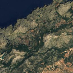
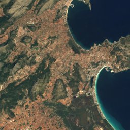




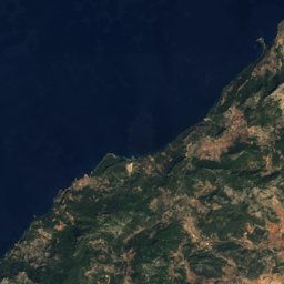
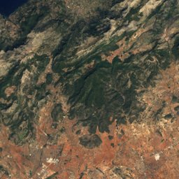
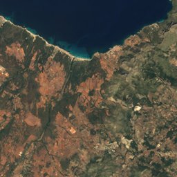



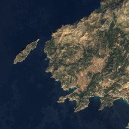
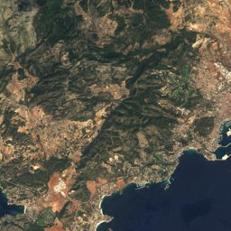
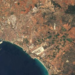
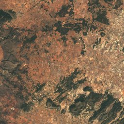



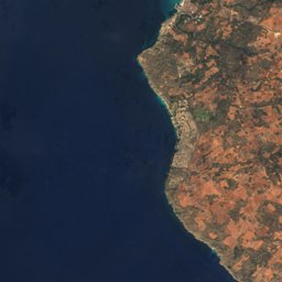
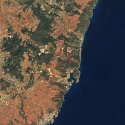
Satellite: Sentinel-2 cloudless 2016 by EOX IT Services GmbH · CC BY 4.0 · Contains modified Copernicus Sentinel data 2016
Outdoor activitiesDeià
Outdoors near Deià
within 15 km115places
Viewpoints72
Climbing29
39.75° N, 2.65° EElevation 183 mUTC+1 · Central European Standard Time
When to goDeià · weather score
Best timeMar–May
October: high / low24° / 14°
Viewpoints
| Name | Nearby | Details |
|---|---|---|
| Torre de sa Pedrissa | 2.1 km | |
| Torre Picada | 7.7 km | |
| Torre del Verger | 14.6 km | |
| mirador de Son Gallard | 2.6 km | |
| Mirador de ses Puntes | 4 km | |
| Mirador de na Torta | 4.5 km | |
| pas de s'Estaló | 9.6 km | 570 m |
| Puig de sa Moneda | 7.3 km | 446 m |
| punta de Sóller | 5 km | 132 m |
| Can Corraca | 0.2 km | |
| mirador de Son Bujosa | 1.3 km | |
| Mirador des Galliner | 1.7 km |
Viewpoints in Balearic Islands
Climbing
| Name | Nearby | Details |
|---|---|---|
| Valldemossacrag | 5.4 km | Website |
| Sa Gúbia - Cara Oesteclimbing gym | 6.1 km | |
| S'estret - Sector Cabra Zombicrag | 6.2 km | |
| Sa Gúbia - Albahidaclimbing gym | 6.2 km | |
| S'Estret - Sector Cuarentóncrag | 6.3 km | |
| S'estret - Sector Mejicanocrag | 6.3 km | |
| Sa Gúbia - zona d'escaladaclimbing gym | 6.3 km | |
| Sa Gúbia - Sector Princesaclimbing gym | 6.3 km | |
| Sa Gúbia - Sector Bomberosclimbing gym | 6.3 km | |
| S'Estret - Sector Pasióncrag | 6.4 km | |
| S'Estret - Sector Pipecrag | 6.4 km | |
| S'Estret - Sector Mariocrag | 6.4 km |
Mountain huts
| Name | Nearby | Details |
|---|---|---|
| Tossals Verdsstaffed | 14.8 km | 525 m · Website |
| Refugi de Muletastaffed | 6.1 km | 100 m · Website |
| Castell d'Alaróstaffed | 12.6 km | 821 m · Website |
| Refugi de son Moraguesunstaffed shelter | 2.4 km | 772 m · Website |
| Cúberunstaffed shelter | 12.1 km | Website |
| Hort de Son Triesstaffed | 11.1 km | Website |
| Cas Garriguerunstaffed shelter | 8 km | |
| Refugi de Xim Joy (s'Alova)unstaffed shelter | 8.2 km | |
| Leandre Ximenisunstaffed shelter | 6 km | |
| els Cornadorsunstaffed shelter | 8.6 km | |
| s'Ermita Vellaunstaffed shelter | 12.6 km |
Mountain huts in Balearic Islands
Camp sites
| Name | Nearby | Details |
|---|---|---|
| Son Tries | 11.1 km | Website |
Surf spots
| Name | Nearby | Details |
|---|---|---|
| Sóller SUPsurf | 6.5 km |
Waves, next days
| Sun 25 | Mon 26 | Tue 27 | Wed 28 | Thu 29 | |
|---|---|---|---|---|---|
| Sóller SUP | 4 m13 s · north-west | 2.8 m10 s · north-west | 2 m9 s · north-east | 2.4 m8 s · north-west | 2.2 m8 s · west |
Highest wave of each day in open water near the spot (significant height and period), from a global wave model; the break itself can differ.
Golf courses
| Name | Nearby | Details |
|---|---|---|
| Golf de Son Térmens | 8.4 km |
Diving
- Isurus19.8 km
Places come from an open map made by volunteers: well-known sites are there, small or new ones may be missing. Opening times and prices change, so check before you go.