


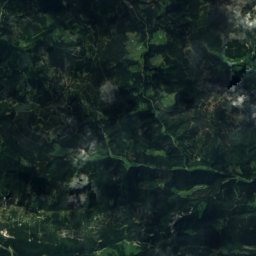
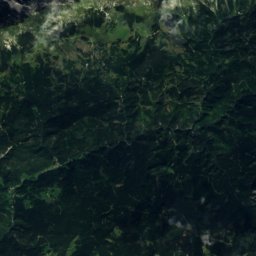
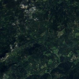
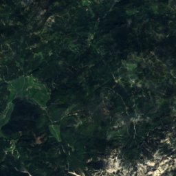
Satellite: Sentinel-2 cloudless 2016 by EOX IT Services GmbH · CC BY 4.0 · Contains modified Copernicus Sentinel data 2016
SkiingStiška Vas, Municipality of Cerklje na Gorenjskem
Krvavec
Ski area34 kmSnow Jan–Apr · Nov–Dec
Pistes34 kmdownhill
Lifts13in the area
Snow seasonJan–Apr · Nov–DecGrintovec
Nearest townStiška Vas2.5 km
46.30° N, 14.53° EUTC+2 · Central European Summer Time
When to goStiška Vas · weather score
Best timeJul–Sep
October: high / low13° / 4°
Skiing
Krvavec in brief
Krvavec is a ski area in Stiška Vas, Municipality of Cerklje na Gorenjskem, Slovenia with about 34 km of downhill pistes and 13 lifts.
At Grintovec (2,558 m), the nearest summit, precipitation falls mostly as snow in Jan–Apr · Nov–Dec.
The nearest town in the atlas is Stiška Vas, 2.5 km away.
Weather nearby now
Stiška Vas10°
Sunny now
Today
22 Oct
11°
4°
7 mm
Fri
23 Oct
11°
3°
2 mm
Sat
24 Oct
8°
2°
8 mm
Sun
25 Oct
9°
2°
Mon
26 Oct
13°
3°
Model run 00:00 UTCRefreshed several times a day
Fresh snow, next 10 days
| Thu 22 | Fri 23 | Sat 24 | Sun 25 | Mon 26 | Tue 27 | Wed 28 | Thu 29 | Fri 30 | Sat 31 | Total | |
|---|---|---|---|---|---|---|---|---|---|---|---|
| Stiška Vas875 m | –7° | –7° | –5° | –6° | –8° | –9° | –11° | –10° | –6° | –5° | 0 cm |
| Grintovec2,558 m | 7 cm-3° | 2 cm-4° | 8 cm-6° | –-5° | –-3° | –-2° | –0° | –-1° | –-5° | 3 cm-6° | 20 cm |
Estimate: the forecast's precipitation at each height shown, as snow when it is cold enough there (about 1 cm per mm). Resorts publish their own snow reports.
Pistes by difficulty
Kilometres of downhill piste, as mappedLifts
13- Chairlifts7
- Platter lifts3
- Moving carpets2
- Gondolas1
Snow through the year
Grintovec · 2,558 mJan❄-5°
Feb❄-7°
Mar❄-5°
Apr❄-3°
May·1°
Jun·5°
Jul·8°
Aug·8°
Sep·4°
Oct·2°
Nov❄-1°
Dec❄-5°
Snow: months when the mean temperature at the summit is at most +1 °C and at least 10 mm falls. Below: mean temperature at the summit.
Stay nearby
Towns close by

Sveti Lenart
Municipality of Cerklje na Gorenjskem · 3.5 km SE
13°Oct high
10wet days
40score


Around here
Stiška Vas and around

Stiška Vas
Municipality of Cerklje na Gorenjskem · Slovenia
Jul–Sepbest months
24°July high
875 maltitude
Nature


Mountains


Heritage




Satellite: Sentinel-2 cloudless 2016 by EOX IT Services GmbH · CC BY 4.0 · Contains modified Copernicus Sentinel data 2016
Stiška Vas
registered immobile cultural heritage of Slovenia


Photo: Athena Lao from Bulgaria · CC BY 2.0 · Wikimedia CommonsReport this photo · linked, not stored
Kamnik
monument of local significance
Museums


Satellite: Sentinel-2 cloudless 2016 by EOX IT Services GmbH · CC BY 4.0 · Contains modified Copernicus Sentinel data 2016
Sadnikar Museum



Satellite: Sentinel-2 cloudless 2016 by EOX IT Services GmbH · CC BY 4.0 · Contains modified Copernicus Sentinel data 2016