Skip to content
Destinations
Weather & climate
Nature
Outdoors
Culture
Events
Sky & live
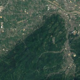
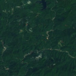
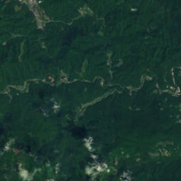
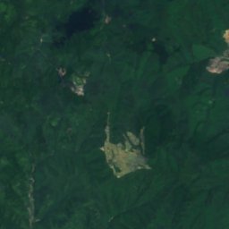
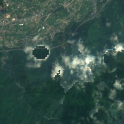
Satellite: Sentinel-2 cloudless 2016 by EOX IT Services GmbH · CC BY 4.0 · Contains modified Copernicus Sentinel data 2016
SkiingKuma, Ehime

SOL-FAオダスキーゲレンデ

Ski area2.1 km
Pistes2.1 kmdownhill
Lifts2in the area
Snow season–
Nearest townKuma15 km
33.54° N, 132.83° EUTC+9 · Japan Standard Time
When to goKuma · weather score
JanFebMarAprMayJunJulAugSepOctNovDec78October
Best timeApr–May · Oct
October: high / low20° / 12°
Skiing

SOL-FAオダスキーゲレンデ in brief

SOL-FAオダスキーゲレンデ is a ski area in Kuma, Ehime, Japan with about 2.1 km of downhill pistes and 2 lifts.

The nearest town is Kuma, 15 km away.

Weather nearby now

Kuma
19°
Showers now
Wind15 km/h
Humidity79%
Cloud cover55%
Today
27 Oct
19°
11°
5 mm
Wed
28 Oct
14°
7°
Thu
29 Oct
18°
6°
Fri
30 Oct
16°
13°
21 mm
Sat
31 Oct
16°
9°
1 mm

Model run 12:00 UTCRefreshed several times a day

Fresh snow, next 10 days

Tue 27Wed 28Thu 29Fri 30Sat 31Sun 1Mon 2Tue 3Wed 4Thu 5Total
Kuma485 m–15°–11°–12°–14°–13°–13°–14°–12°–12°–8°0 cm

Estimate: the forecast's precipitation at each height shown, as snow when it is cold enough there (about 1 cm per mm). Resorts publish their own snow reports.

Pistes by difficulty

Kilometres of downhill piste, as mapped
Blue (easy)1.4 km
Red (intermediate)0.6 km

Lifts

2
  • Chairlifts2
Stay nearby

Towns close by
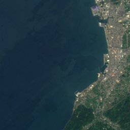
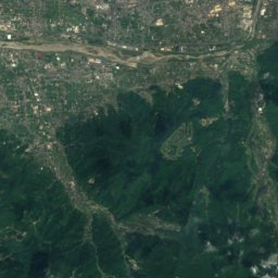
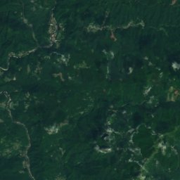
Satellite: Sentinel-2 cloudless 2016 by EOX IT Services GmbH · CC BY 4.0 · Contains modified Copernicus Sentinel data 2016

Kuma

Ehime · 15 km NE
20°Oct high
9wet days
78score
Kuma
Uchiko
Photo: Tzu-hsun, Hsu · CC BY-SA 4.0 · Wikimedia CommonsReport this photo · linked, not stored

Uchiko

Ehime · 17 km W
22°Oct high
9wet days
79score
Uchiko
Yusuhara
Photo: Kaityu20 · CC BY-SA 4.0 · Wikimedia CommonsReport this photo · linked, not stored

Yusuhara

Kochi · 19 km SE
20°Oct high
11wet days
72score
Yusuhara
Shinagawa
Photo: Dokudami · CC BY-SA 4.0 · Wikimedia CommonsReport this photo · linked, not stored

Shinagawa

Ehime · 19 km NE
20°Oct high
9wet days
78score
Shinagawa
Around here

Kuma and around

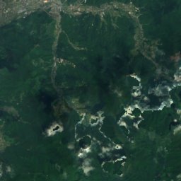
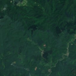
Satellite: Sentinel-2 cloudless 2016 by EOX IT Services GmbH · CC BY 4.0 · Contains modified Copernicus Sentinel data 2016

Kuma

Ehime · Japan
Apr–May · Octbest months
28°July high
485 maltitude
Kuma

Nature

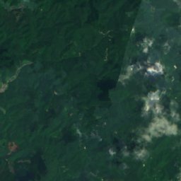
Satellite: Sentinel-2 cloudless 2016 by EOX IT Services GmbH · CC BY 4.0 · Contains modified Copernicus Sentinel data 2016
25 km N

Shigenobu River

River
Shigenobu River
Shirai Falls
Photo: ball banban · CC BY 3.0 · Wikimedia CommonsReport this photo · linked, not stored
13 km NE

Shirai Falls

Waterfall
Shirai Falls
Ono River, Ehime
Photo: DVMG · CC BY 3.0 · Wikimedia CommonsReport this photo · linked, not stored
22 km NW

Ono River, Ehime

River
Ono River, Ehime

Mountains

Mount Ishizuchi
Photo: HendrixEesti · CC BY-SA 3.0 · Wikimedia CommonsReport this photo · linked, not stored
23 km NE

Mount Ishizuchi

1,982 m · Ishizuchi Mountains
Mount Ishizuchi
Mount Ninomori
Photo: As6022014 · CC BY-SA 3.0 · Wikimedia CommonsReport this photo · linked, not stored
21 km NE

Mount Ninomori

1,929 m · Shikoku Mountains
Mount Ninomori
Mount Kamegamori
Photo: Dokudami · CC BY-SA 3.0 · Wikimedia CommonsReport this photo · linked, not stored
31 km NE

Mount Kamegamori

1,897 m · Ishizuchi Mountains
Mount Kamegamori

Heritage

Iwaya-ji Temple
Photo: Dokudami · CC BY-SA 4.0 · Wikimedia CommonsReport this photo · linked, not stored
7.3 km E

Iwaya-ji Temple

Important Cultural Property of Japan · 815
Iwaya-ji Temple
Furuiwaya
Photo: Dokudami · CC BY-SA 4.0 · Wikimedia CommonsReport this photo · linked, not stored
6.8 km E

Furuiwaya

Place of Scenic Beauty
Furuiwaya
Satellite: Sentinel-2 cloudless 2016 by EOX IT Services GmbH · CC BY 4.0 · Contains modified Copernicus Sentinel data 2016
6.9 km SE

Kamikuroiwa Iwakage Site

Historic Site of Japan
Kamikuroiwa Iwakage Site

Museums

Satellite: Sentinel-2 cloudless 2016 by EOX IT Services GmbH · CC BY 4.0 · Contains modified Copernicus Sentinel data 2016
0.7 km NE

Kuma Museum of Art

Art museum · 1989
Kuma Museum of Art
The Kasho Museum
Photo: As6022014 · Public domain · Wikimedia CommonsReport this photo · linked, not stored
13 km N

The Kasho Museum

Art museum
The Kasho Museum
Kamikuroiwa Archaeological Museum
Photo: As6022014 · Public domain · Wikimedia CommonsReport this photo · linked, not stored
6.9 km SE

Kamikuroiwa Archaeological Museum

Archaeological museum
Kamikuroiwa Archaeological Museum