


Satellite: Sentinel-2 cloudless 2016 by EOX IT Services GmbH · CC BY 4.0 · Contains modified Copernicus Sentinel data 2016
SkiingKanegasaki, Iwate
Geto Kogen
Ski area13 kmSnow Jan–Mar · Nov–Dec
Pistes13 kmdownhill
Lifts5in the area
Snow seasonJan–Mar · Nov–DecMount Yakeishi
Nearest townKanegasaki19 km
39.24° N, 140.90° EUTC+9 · Japan Standard Time
When to goKanegasaki · weather score
Best timeMay · Sep–Oct
October: high / low17° / 9°
Skiing
Geto Kogen in brief
Geto Kogen is a ski area in Kanegasaki, Iwate, Japan with about 13 km of downhill pistes and 5 lifts.
At Mount Yakeishi (1,548 m), the nearest summit, precipitation falls mostly as snow in Jan–Mar · Nov–Dec.
The nearest town in the atlas is Kanegasaki, 19 km away.
Weather nearby now
Kanegasaki9°
Partly cloudy now
Today
23 Oct
16°
7°
Sat
24 Oct
15°
9°
6 mm
Sun
25 Oct
21°
13°
8 mm
Mon
26 Oct
17°
10°
Tue
27 Oct
19°
12°
15 mm
Model run 00:00 UTCRefreshed several times a day
Fresh snow, next 10 days
| Fri 23 | Sat 24 | Sun 25 | Mon 26 | Tue 27 | Wed 28 | Thu 29 | Fri 30 | Sat 31 | Total | |
|---|---|---|---|---|---|---|---|---|---|---|
| Kanegasaki59 m | –12° | –12° | –17° | –14° | –16° | –8° | –9° | –13° | –13° | 0 cm |
| Mount Yakeishi1,548 m | –2° | –2° | –7° | –4° | –6° | 11 cm-1° | 2 cm-1° | –3° | –3° | 13 cm |
Estimate: the forecast's precipitation at each height shown, as snow when it is cold enough there (about 1 cm per mm). Resorts publish their own snow reports.
Pistes by difficulty
Kilometres of downhill piste, as mappedLifts
5- Chairlifts3
- Gondolas2
Snow through the year
Mount Yakeishi · 1,548 mJan❄-12°
Feb❄-11°
Mar❄-7°
Apr·1°
May·7°
Jun·12°
Jul·16°
Aug·17°
Sep·12°
Oct·5°
Nov❄-2°
Dec❄-8°
Snow: months when the mean temperature at the summit is at most +1 °C and at least 10 mm falls. Below: mean temperature at the summit.
Stay nearby
Towns close by


Around here
Kanegasaki and around
Nature

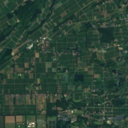
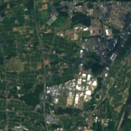
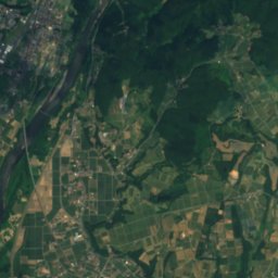
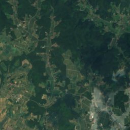
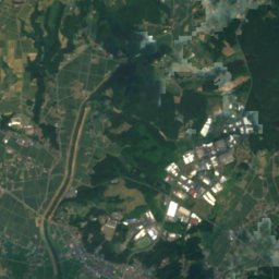
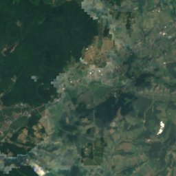
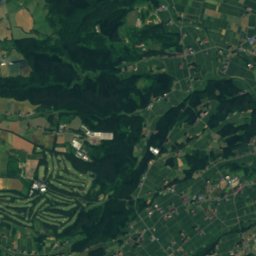
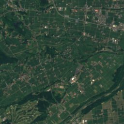
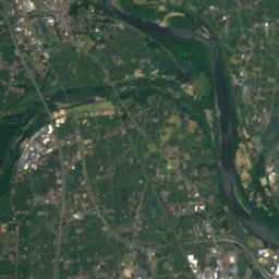
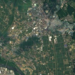
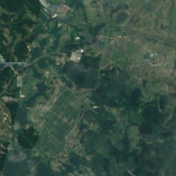
Satellite: Sentinel-2 cloudless 2016 by EOX IT Services GmbH · CC BY 4.0 · Contains modified Copernicus Sentinel data 2016
Isawa River
River
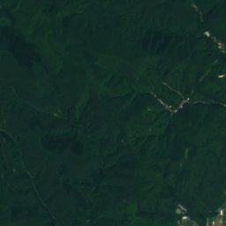
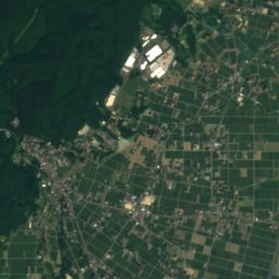
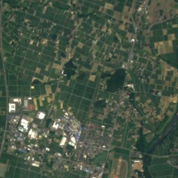
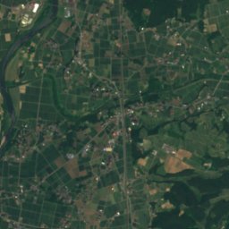
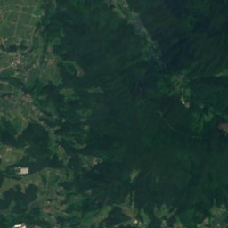
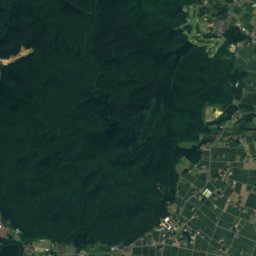
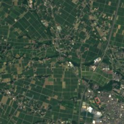
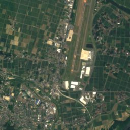
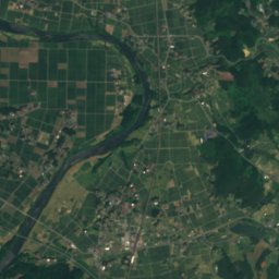
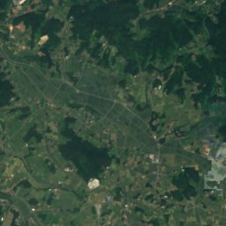
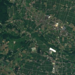
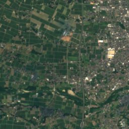
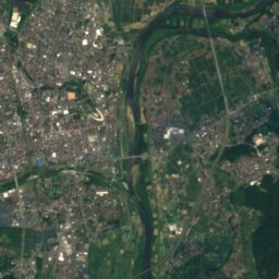
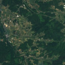
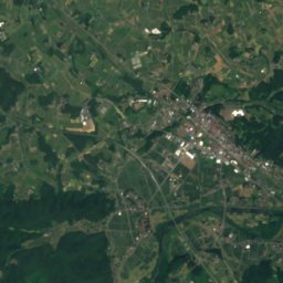
Satellite: Sentinel-2 cloudless 2016 by EOX IT Services GmbH · CC BY 4.0 · Contains modified Copernicus Sentinel data 2016
Sarugaishi River
River
Mountains


Heritage


Photo: Copyright © National Land Image Information (Color Aerial Photographs), Ministry · Attribution · Wikimedia CommonsReport this photo · linked, not stored
金ケ崎町城内諏訪小路
Important Preservation District for a Group of Traditional Buildings
Museums

Satellite: Sentinel-2 cloudless 2016 by EOX IT Services GmbH · CC BY 4.0 · Contains modified Copernicus Sentinel data 2016
Kanegasaki Stronghold History Museum
History museum


Satellite: Sentinel-2 cloudless 2016 by EOX IT Services GmbH · CC BY 4.0 · Contains modified Copernicus Sentinel data 2016
Ōshū City Archaeological Research Center
Buried cultural property center