


Satellite: Sentinel-2 cloudless 2016 by EOX IT Services GmbH · CC BY 4.0 · Contains modified Copernicus Sentinel data 2016
SkiingTerrace, British Columbia
Shames Mountain
Ski area20 km
Pistes20 kmdownhill
Lifts3in the area
Snow season–
Nearest townTerrace24 km
54.49° N, 128.97° WUTC−7 · Pacific Daylight Time
When to goTerrace · weather score
Best timeJun–Aug
October: high / low10° / 4°
Skiing
Shames Mountain in brief
Shames Mountain is a ski area in Terrace, British Columbia, Canada with about 20 km of downhill pistes and 3 lifts.
The nearest town in the atlas is Terrace, 24 km away.
Weather nearby now
Terrace4°
Cloudy now
Today
22 Oct
7°
1°
1 mm
Fri
23 Oct
8°
1°
Sat
24 Oct
11°
0°
Sun
25 Oct
10°
0°
Mon
26 Oct
9°
-2°
Model run 00:00 UTCRefreshed several times a day
Fresh snow, next 10 days
| Thu 22 | Fri 23 | Sat 24 | Sun 25 | Mon 26 | Tue 27 | Wed 28 | Thu 29 | Fri 30 | Total | |
|---|---|---|---|---|---|---|---|---|---|---|
| Terrace70 m | –4° | –4° | –5° | –5° | –4° | –6° | –5° | –4° | –6° | 0 cm |
Estimate: the forecast's precipitation at each height shown, as snow when it is cold enough there (about 1 cm per mm). Resorts publish their own snow reports.
Pistes by difficulty
Kilometres of downhill piste, as mappedLifts
3- Rope tows1
- Chairlifts1
- T-bars1
Stay nearby
Towns close by

Around here
Terrace and around
Nature

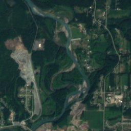
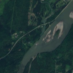
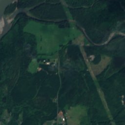
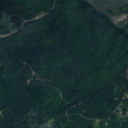
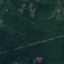
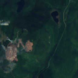
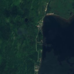
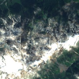
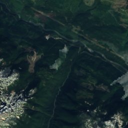
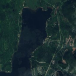
Satellite: Sentinel-2 cloudless 2016 by EOX IT Services GmbH · CC BY 4.0 · Contains modified Copernicus Sentinel data 2016
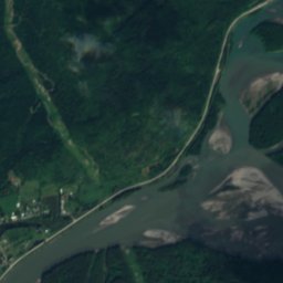
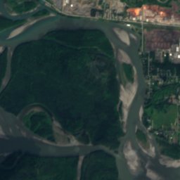
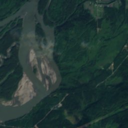
Zymagotitz River
River
Mountains
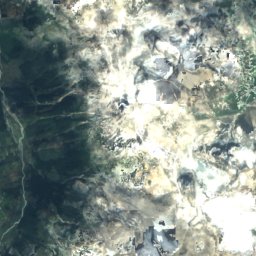
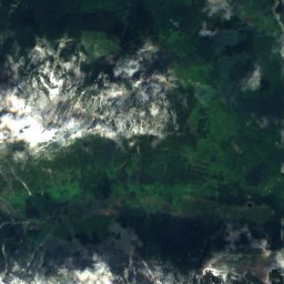
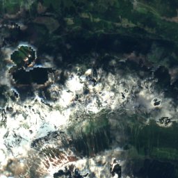
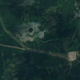
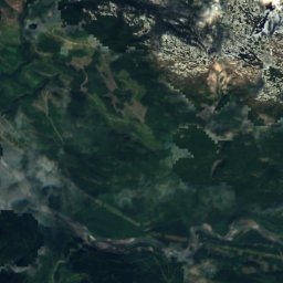
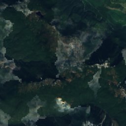
Satellite: Sentinel-2 cloudless 2016 by EOX IT Services GmbH · CC BY 4.0 · Contains modified Copernicus Sentinel data 2016
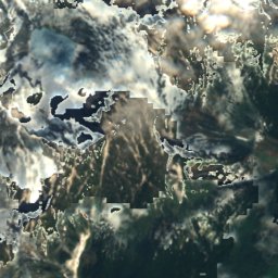
Alice Peak
1,795 m
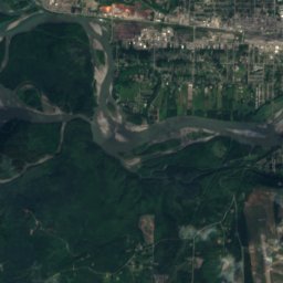
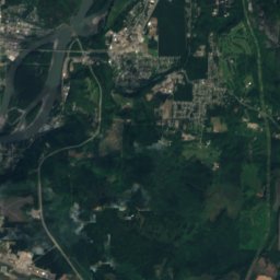
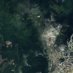
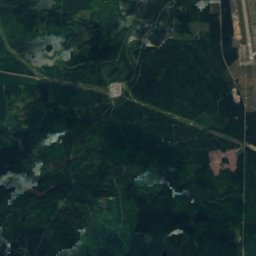
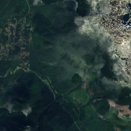
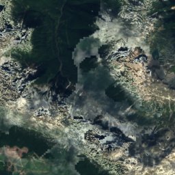
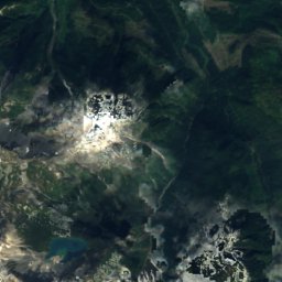
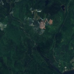
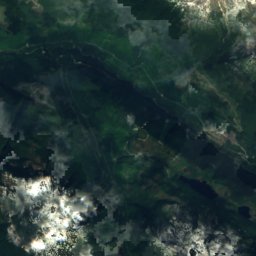
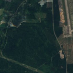
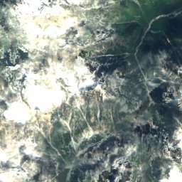
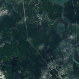
Satellite: Sentinel-2 cloudless 2016 by EOX IT Services GmbH · CC BY 4.0 · Contains modified Copernicus Sentinel data 2016
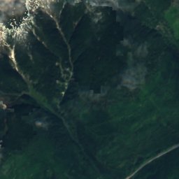
Mount Attree
1,248 m
Heritage







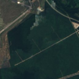
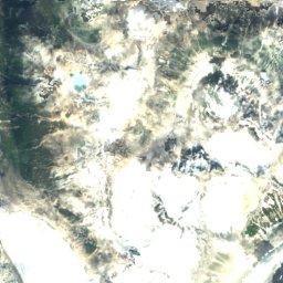
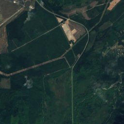
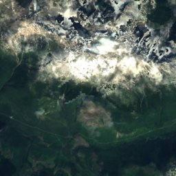
Satellite: Sentinel-2 cloudless 2016 by EOX IT Services GmbH · CC BY 4.0 · Contains modified Copernicus Sentinel data 2016
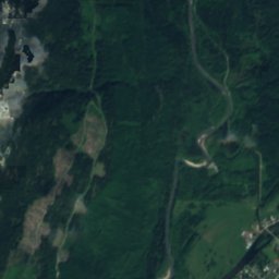
Kitselas Canyon
national historic site of Canada