Skip to content
Destinations
Weather & climate
Nature
Outdoors
Culture
Events
Sky & live
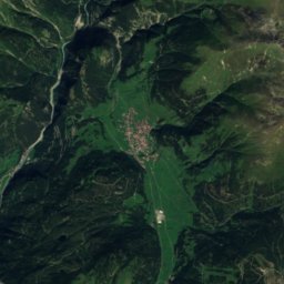
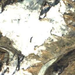
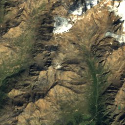
Satellite: Sentinel-2 cloudless 2016 by EOX IT Services GmbH · CC BY 4.0 · Contains modified Copernicus Sentinel data 2016
SkiingKappl, Tyrol

Kappl

Ski area72 km
Pistes72 kmdownhill
Lifts12in the area
Snow season–
Nearest townKappl1.9 km
47.07° N, 10.36° EUTC+1 · Central European Standard Time
When to goKappl · weather score
JanFebMarAprMayJunJulAugSepOctNovDec37October
Best timeJun–Aug
October: high / low12° / 2°
Skiing

Kappl in brief

Kappl is a ski area in Kappl, Tyrol, Austria with about 72 km of downhill pistes and 12 lifts.

The nearest town is Kappl, 1.9 km away.

The resort's website

Weather nearby now

Kappl
5°
Cloudy now
Wind1 km/h
Humidity79%
Cloud cover62%
Today
25 Oct
11°
6°
8 mm
Mon
26 Oct
12°
0°
Tue
27 Oct
17°
7°
Wed
28 Oct
14°
6°
2 mm
Thu
29 Oct
13°
5°

Model run 12:00 UTCRefreshed several times a day

Fresh snow, next 10 days

Sun 25Mon 26Tue 27Wed 28Thu 29Fri 30Sat 31Sun 1Mon 2Tue 3Total
Kappl1,321 m–8°–6°–12°–10°–9°–8°–5°–6°–6°–6°0 cm

Estimate: the forecast's precipitation at each height shown, as snow when it is cold enough there (about 1 cm per mm). Resorts publish their own snow reports.

Pistes by difficulty

Kilometres of downhill piste, as mapped
Blue (easy)18 km
Red (intermediate)41 km
Black (difficult)13 km

Lifts

12
  • Moving carpets6
  • Chairlifts3
  • T-bars2
  • Gondolas1
Stay nearby

Towns close by

Kappl
Photo: Geertivp · CC BY-SA 4.0 · Wikimedia CommonsReport this photo · linked, not stored

Kappl

Tyrol · 1.9 km E
12°Oct high
13wet days
37score
Kappl
See
Photo: Monika Dittrich · CC BY-SA 3.0 at · Wikimedia CommonsReport this photo · linked, not stored

See

Tyrol · 8.2 km E
14°Oct high
13wet days
46score
See
Ischgl
Photo: Basotxerri · CC BY-SA 4.0 · Wikimedia CommonsReport this photo · linked, not stored

Ischgl

Tyrol · 8.3 km SW
12°Oct high
13wet days
37score
Ischgl
Pettneu am Arlberg
Photo: Selby · CC BY-SA 3.0 · Wikimedia CommonsReport this photo · linked, not stored

Pettneu am Arlberg

Tyrol · 8.5 km N
13°Oct high
13wet days
42score
Pettneu am Arlberg
Around here

Kappl and around

Kappl
Photo: Geertivp · CC BY-SA 4.0 · Wikimedia CommonsReport this photo · linked, not stored

Kappl

Tyrol · Austria
Jun–Augbest months
21°July high
1,321 maltitude
Kappl

Nature

Trisanna
Photo: Michielverbeek · CC BY-SA 4.0 · Wikimedia CommonsReport this photo · linked, not stored
9.9 km NE

Trisanna

River · 1,564 m
Trisanna
Edmund-Graf-Hütte
Photo: Friedrich-Karl Mohr · CC BY-SA 3.0 de · Wikimedia CommonsReport this photo · linked, not stored
4.8 km NW

Edmund-Graf-Hütte

Mountain hut · 2,375 m
Edmund-Graf-Hütte
Niederelbehütte
Photo: Hejkal · CC BY-SA 3.0 · Wikimedia CommonsReport this photo · linked, not stored
5.1 km W

Niederelbehütte

Mountain hut · 2,310 m
Niederelbehütte

Mountains

Weißkugel
Photo: Cactus26 · CC BY-SA 3.0 · Wikimedia CommonsReport this photo · linked, not stored
40 km SE

Weißkugel

3,738 m · Weißkamm
Weißkugel
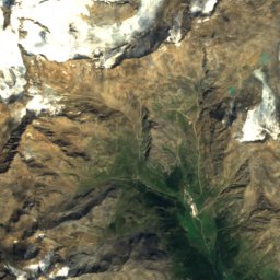
Satellite: Sentinel-2 cloudless 2016 by EOX IT Services GmbH · CC BY 4.0 · Contains modified Copernicus Sentinel data 2016
39 km SE

Innerer Bärenbartkogel

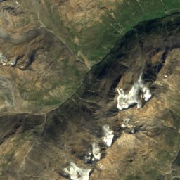
3,553 m · Weißkamm
Innerer Bärenbartkogel
Hochvernagtspitze
Photo: Cactus26 · CC BY 2.5 · Wikimedia CommonsReport this photo · linked, not stored
37 km SE

Hochvernagtspitze

3,535 m · Weißkamm
Hochvernagtspitze

Heritage

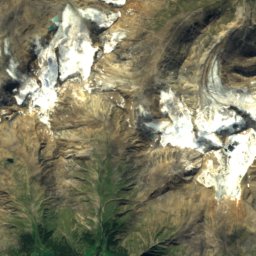
Satellite: Sentinel-2 cloudless 2016 by EOX IT Services GmbH · CC BY 4.0 · Contains modified Copernicus Sentinel data 2016
0.7 km SW

Pfarrkirche Kappl

Listed objects in Austria
Pfarrkirche Kappl
Tobadill Church
Photo: Franz Geiger · CC BY-SA 3.0 at · Wikimedia CommonsReport this photo · linked, not stored
12 km NE

Tobadill Church

Listed objects in Austria
Tobadill Church
Römerbrücke
Photo: Franz Geiger · CC BY-SA 3.0 at · Wikimedia CommonsReport this photo · linked, not stored
13 km NE

Römerbrücke

Listed objects in Austria
Römerbrücke

Museums

Trier-Villa
Photo: Peter Lauppert · CC BY-SA 3.0 at · Wikimedia CommonsReport this photo · linked, not stored
12 km NW

Trier-Villa

Trier-Villa
Satellite: Sentinel-2 cloudless 2016 by EOX IT Services GmbH · CC BY 4.0 · Contains modified Copernicus Sentinel data 2016
9.3 km SW

Ropeway Museum

Ropeway Museum
Satellite: Sentinel-2 cloudless 2016 by EOX IT Services GmbH · CC BY 4.0 · Contains modified Copernicus Sentinel data 2016
9.5 km SW

Mathias Schmid Museum

Mathias Schmid Museum