Skip to content
Destinations
Weather & climate
Nature
Outdoors
Culture
Events
Sky & live
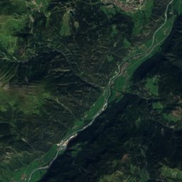
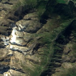
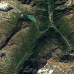
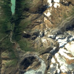
Satellite: Sentinel-2 cloudless 2016 by EOX IT Services GmbH · CC BY 4.0 · Contains modified Copernicus Sentinel data 2016
SkiingFlirsch, Tyrol

Flirsch

Ski area0.8 km
Pistes0.8 kmdownhill
Lifts1in the area
Snow season–
Nearest townFlirsch0.7 km
47.15° N, 10.41° EUTC+2 · Central European Summer Time
When to goFlirsch · weather score
JanFebMarAprMayJunJulAugSepOctNovDec37October
Best timeJun–Aug
October: high / low12° / 2°
Skiing

Flirsch in brief

Flirsch is a ski area in Flirsch, Tyrol, Austria with about 0.8 km of downhill pistes and 1 lifts.

The nearest town in the atlas is Flirsch, 0.7 km away.

Weather nearby now

Flirsch
1°
Clear now
Wind3 km/h
Humidity62%
Cloud cover12%
Today
23 Oct
10°
1°
2 mm
Sat
24 Oct
4°
0°
2 mm
Sun
25 Oct
9°
2°
19 mm
Mon
26 Oct
12°
2°
Tue
27 Oct
19°
8°
1 mm

Model run 12:00 UTCRefreshed several times a day

Fresh snow, next 10 days

Fri 23Sat 24Sun 25Mon 26Tue 27Wed 28Thu 29Fri 30Sat 31Total
Flirsch1,176 m–6°–2°–6°–7°–13°–11°–11°–11°–10°0 cm

Estimate: the forecast's precipitation at each height shown, as snow when it is cold enough there (about 1 cm per mm). Resorts publish their own snow reports.

Pistes by difficulty

Kilometres of downhill piste, as mapped
Blue (easy)0.8 km

Lifts

1
  • Platter lifts1
Stay nearby

Towns close by

Flirsch
Photo: Rudolfo56 · CC BY-SA 3.0 at · Wikimedia CommonsReport this photo · linked, not stored

Flirsch

Tyrol · 0.7 km W
12°Oct high
13wet days
37score
Flirsch
Strengen
Photo: Roland Mungenast · CC BY-SA 3.0 · Wikimedia CommonsReport this photo · linked, not stored

Strengen

Tyrol · 4.9 km SE
13°Oct high
13wet days
42score
Strengen
Pettneu am Arlberg
Photo: Selby · CC BY-SA 3.0 · Wikimedia CommonsReport this photo · linked, not stored

Pettneu am Arlberg

Tyrol · 5.5 km W
13°Oct high
13wet days
42score
Pettneu am Arlberg
Pians
Photo: Josef Saurwein · CC BY-SA 2.0 de · Wikimedia CommonsReport this photo · linked, not stored

Pians

Tyrol · 8.0 km E
15°Oct high
13wet days
49score
Pians
Around here

Flirsch and around

Flirsch
Photo: Rudolfo56 · CC BY-SA 3.0 at · Wikimedia CommonsReport this photo · linked, not stored

Flirsch

Tyrol · Austria
Jun–Augbest months
21°July high
1,176 maltitude
Flirsch

Nature

Trisanna
Photo: Michielverbeek · CC BY-SA 4.0 · Wikimedia CommonsReport this photo · linked, not stored
7.7 km SE

Trisanna

River · 1,564 m
Trisanna
Memminger Hütte
Photo: Vince51 · CC BY-SA 3.0 · Wikimedia CommonsReport this photo · linked, not stored
8.1 km NE

Memminger Hütte

Mountain hut · 2,242 m
Memminger Hütte
Edmund-Graf-Hütte
Photo: Friedrich-Karl Mohr · CC BY-SA 3.0 de · Wikimedia CommonsReport this photo · linked, not stored
6.0 km SW

Edmund-Graf-Hütte

Mountain hut · 2,375 m
Edmund-Graf-Hütte

Mountains

Watzespitze
Photo: Cactus26 · CC BY-SA 3.0 · Wikimedia CommonsReport this photo · linked, not stored
36 km SE

Watzespitze

3,532 m · Kaunergrat
Watzespitze
Vordere Ölgrubenspitze
Photo: Christoph Praxmarer · CC BY-SA 2.5 · Wikimedia CommonsReport this photo · linked, not stored
39 km SE

Vordere Ölgrubenspitze

3,456 m · Ötztal Alps
Vordere Ölgrubenspitze
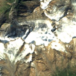
Satellite: Sentinel-2 cloudless 2016 by EOX IT Services GmbH · CC BY 4.0 · Contains modified Copernicus Sentinel data 2016
39 km SE

Bliggspitze

3,453 m · Ötztal Alps
Bliggspitze

Heritage

Pfarrkirche hl. Bartholomäus, Flirsch
Photo: Leitzsche · CC0 · Wikimedia CommonsReport this photo · linked, not stored
0.6 km E

Pfarrkirche hl. Bartholomäus, Flirsch

Listed objects in Austria
Pfarrkirche hl. Bartholomäus, Flirsch
Saint Roch Church, Flirsch
Photo: Leitzsche · CC0 · Wikimedia CommonsReport this photo · linked, not stored
1.5 km W

Saint Roch Church, Flirsch

Listed objects in Austria
Saint Roch Church, Flirsch
Römerbrücke
Photo: Franz Geiger · CC BY-SA 3.0 at · Wikimedia CommonsReport this photo · linked, not stored
8.8 km E

Römerbrücke

Listed objects in Austria
Römerbrücke

Museums

Trier-Villa
Photo: Peter Lauppert · CC BY-SA 3.0 at · Wikimedia CommonsReport this photo · linked, not stored
11 km W

Trier-Villa

Trier-Villa
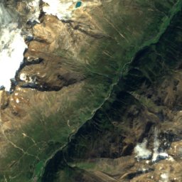
Satellite: Sentinel-2 cloudless 2016 by EOX IT Services GmbH · CC BY 4.0 · Contains modified Copernicus Sentinel data 2016
13 km N

Museum Holzgau

Local museum
Museum Holzgau
Satellite: Sentinel-2 cloudless 2016 by EOX IT Services GmbH · CC BY 4.0 · Contains modified Copernicus Sentinel data 2016
13 km E

Schlossmuseum Landeck

Schlossmuseum Landeck