


























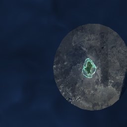


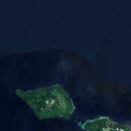




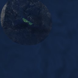



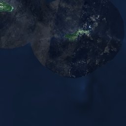








Satellite: Sentinel-2 cloudless 2016 by EOX IT Services GmbH · CC BY 4.0 · Contains modified Copernicus Sentinel data 2016
EarthquakesLefagaoali'i
Earthquakes near Lefagaoali'i
M5+ · Since 19506≤ 150 km
Last 30 days5≤ 300 km
StrongestM6.61952
13.47° S, 172.42° WElevation 49 mUTC+13 · Samoa Standard Time
When to goLefagaoali'i · weather score
Best timeJul–Sep
October: high / low27° / 25°
Since 1950, 6 earthquakes of magnitude 5 or more have struck within 150 km of Lefagaoali'i; the strongest was M6.6, 19 June 1952. In the last 30 days 5 earthquakes were recorded within 300 km. 5 significant earthquakes on record hit the area.
Last 30 days · ≤ 300 km
| Magnitude | km | Depth | When |
|---|---|---|---|
| 5.2 | 207 ↙ | 10 km | 7 days ago · 15 October 2026 02:29 |
| 5.1 | 38 → | 13 km | 8 days ago · 15 October 2026 16:36 |
| 4.8 | 33 → | 14 km | 8 days ago · 15 October 2026 16:36 |
| 4.5 | 260 ↙ | 79 km | 12 days ago · 10 October 2026 21:38 |
| 4.1 | 298 ↙ | 99 km | 28 days ago · 24 September 2026 04:52 |
M5+ · Since 1950 · ≤ 150 km
| 6.6 | 132 km | 19 June 1952 |
| 5.9 | 121 km | 18 December 2010 |
| 5.4 | 123 km | 3 May 1993 |
| 5.1 | 38 km | 15 October 2026 |
| 5.1 | 136 km | 16 April 1988 |
| 5.1 | 107 km | 28 April 1984 |
Significant earthquakes on record · ≤ 300 km
| 2009 | 227 km | M8.1 | 192 deathsTsunami |
| 1995 | 227 km | M7.4 | Tsunami |
| 1981 | 181 km | M7.7 | Tsunami |
| 1957 | 235 km | M7.5 | |
| 1917 | 235 km | M8.3 | 2 deathsTsunami |