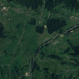
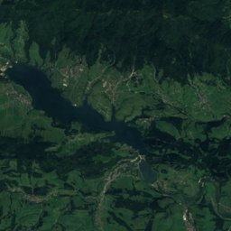
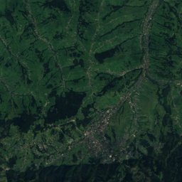
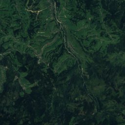
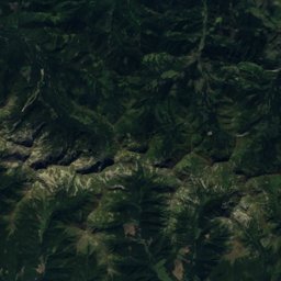
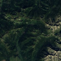
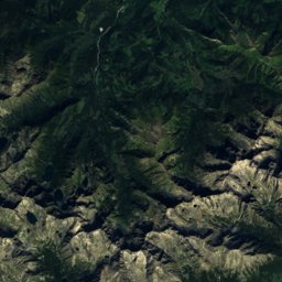
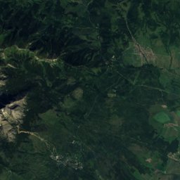
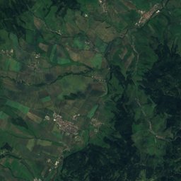
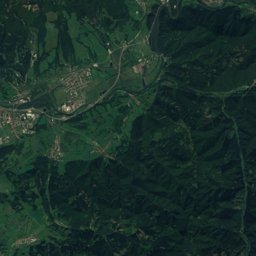
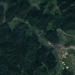
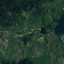
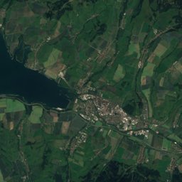
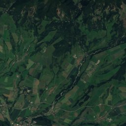
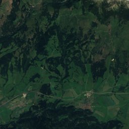
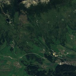
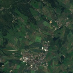
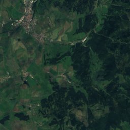
Satellite: Sentinel-2 cloudless 2016 by EOX IT Services GmbH · CC BY 4.0 · Contains modified Copernicus Sentinel data 2016
Outdoor activitiesRatułów
Outdoors near Ratułów
within 15 km30places
Camp sites10
Viewpoints8
49.36° N, 19.90° EElevation 756 mUTC+1 · Central European Standard Time
When to goRatułów · weather score
Best timeJun–Aug
October: high / low12° / 2°
Camp sites
| Name | Nearby | Details |
|---|---|---|
| Pod Krokwią | 10.1 km | ★★★ · Website |
| Harenda | 7.5 km | ★★ · Website |
| Camp Gorący Potok | 9.8 km | Website |
| Tanie Domki Zakopane | 7.9 km | Website |
| Camper Park Olimp | 9.8 km | Website |
| Peak Glamp | 7.3 km | Website |
| Camping Ustup | 7.7 km | Website |
| Kemp ORAVICE | 13.2 km | Website |
| Polana Rogoźniczańska PZA | 9.3 km | |
| Campingplatz Willa Zakopane | 9.4 km |
Viewpoints
| Name | Nearby | Details |
|---|---|---|
| SkyWalk Serce Poronina | 15 km | Website |
| Gubałówka | 6.7 km | |
| Stacja Narciarska Górna Ski Suche | 7 km | |
| Zakopisko | 7.3 km | |
| Wierszyki | 9.6 km | |
| Rozhľadňa | 11.8 km | |
| Rozhľadňa | 13.9 km | |
| Tichá dolina | 14.3 km |
Theme parks
| Name | Nearby | Details |
|---|---|---|
| Snowlandia Śnieżny Labirynt | 10.2 km | Website |
| Sky Walk Poronin | 15 km | |
| Centrum Rozrywki Autodrom | 7.9 km | |
| Dino Park | 10 km |
Climbing
| Name | Nearby | Details |
|---|---|---|
| Park Linowy Tatra Adventure Chochołówclimbing gym | 6 km | Website |
| Skałki na Jarońcucrag | 10.2 km | |
| Lejowacrag | 10.2 km |
Hot springs & thermal baths
Mountain huts
| Name | Nearby | Details |
|---|---|---|
| Schronisko PTTK Hala Kondratowastaffed | 13.1 km | Website |
Zoos
| Name | Nearby | Details |
|---|---|---|
| Tatrzańskie ZOO i Bagno Shreka | 9.6 km |
Aquariums
| Name | Nearby | Details |
|---|---|---|
| Podwodny Świat | 8.1 km | Website |
Places come from an open map made by volunteers: well-known sites are there, small or new ones may be missing. Opening times and prices change, so check before you go.