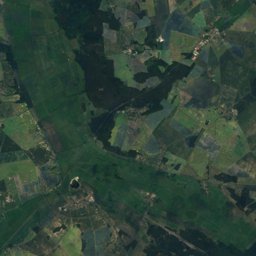
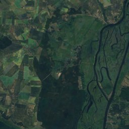
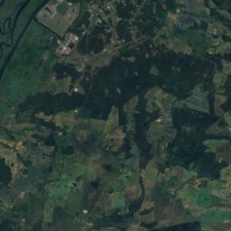
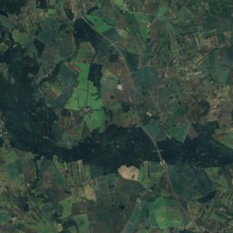
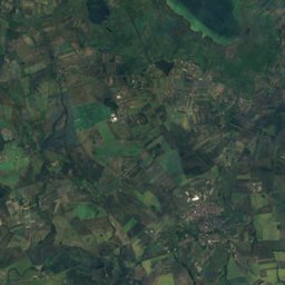
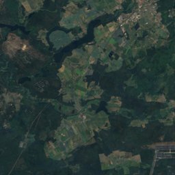
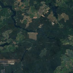
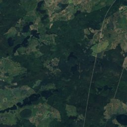
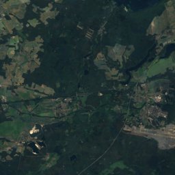
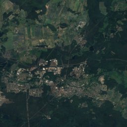
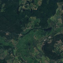
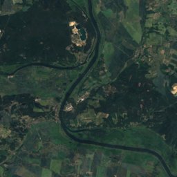
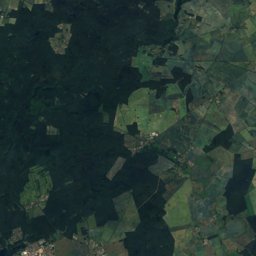
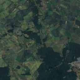
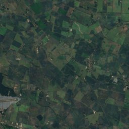
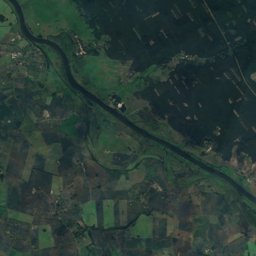
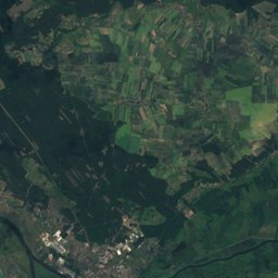
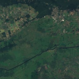
Satellite: Sentinel-2 cloudless 2016 by EOX IT Services GmbH · CC BY 4.0 · Contains modified Copernicus Sentinel data 2016
Outdoor activitiesCedynia
Outdoors near Cedynia
within 15 km26places
Camp sites16
Viewpoints9
52.88° N, 14.20° EElevation 4 mUTC+2 · Central European Summer Time
When to goCedynia · weather score
Best timeMay–Jun · Sep
October: high / low14° / 6°
Camp sites
| Name | Nearby | Details |
|---|---|---|
| Campingplatz Parsteiner See | 12.6 km | Website |
| Natur- und Familiencampingplatz Pehlitzwerder | 13.8 km | Website |
| Płatne Pole Biwakowe "Coutry Dudek"backcountry | 14.9 km | Website |
| Marigold | 14.6 km | Website |
| Odertours | 13.7 km | Website |
| Wohnmobilstellplatz Stolpecaravans & motorhomes | 12.4 km | Website |
| Wohnmobil- und Caravanstellplatz Stolzenhagencaravans & motorhomes | 10 km | Website |
| Wasserwanderrastplatzbackcountry | 10.1 km | Website |
| Kanurast- & Biwakplatz Stolpebackcountry | 12.4 km | Website |
| Marina Oderbergcaravans & motorhomes | 9 km | Website |
| Noclegi Gądno | 14.5 km | Website |
| Kemping nad Odrącaravans & motorhomes | 6.3 km |
Viewpoints
| Name | Nearby | Details |
|---|---|---|
| Góra Czcibora | 4.1 km | |
| Beobachtungsturm Süd Fliegender Kranich | 11.6 km | Website |
| Pimpinellenberg | 12.6 km | 120 m |
| Vogelbeobachtungsturm | 13.7 km | 4 m |
| Platforma widokowa | 7.4 km | |
| Stolper Turm | 12.7 km | |
| Aussichtspunkt am Richterberg | 12.9 km | |
| Odertalblick | 13.1 km | |
| punkt dowodzenia | 14.1 km |
Mountain huts
| Name | Nearby | Details |
|---|---|---|
| Kurzawa-Hütteunstaffed shelter | 12.1 km |
Diving
- Jezioro Moryn - Przyjezierze13.3 km
- Jezioro Moryn - Moryn13.5 km
- Parsteiner See15.1 km
- Jezioro Bielin16.3 km
Places come from an open map made by volunteers: well-known sites are there, small or new ones may be missing. Opening times and prices change, so check before you go.