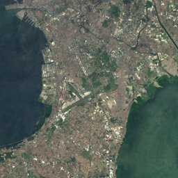
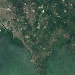

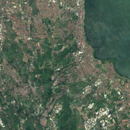
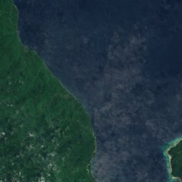


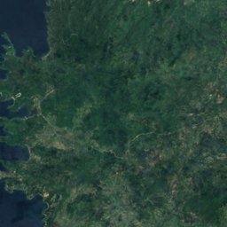
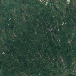
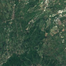
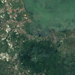


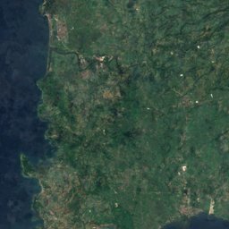
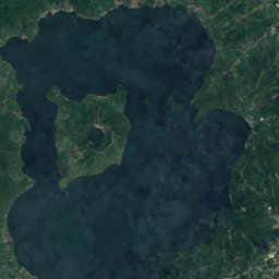
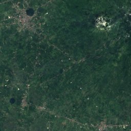
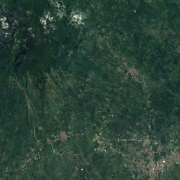
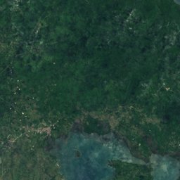
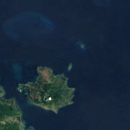

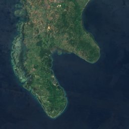
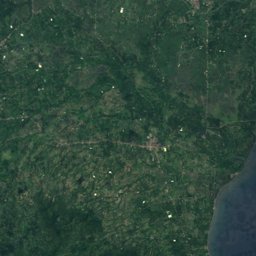

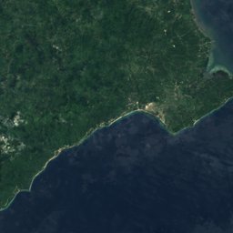


Satellite: Sentinel-2 cloudless 2016 by EOX IT Services GmbH · CC BY 4.0 · Contains modified Copernicus Sentinel data 2016
Outdoor activitiesMalvar
Outdoors near Malvar
within 15 km28places
Camp sites15
Viewpoints8
14.04° N, 121.16° EElevation 210 mUTC+8 · Philippine Standard Time
When to goMalvar · weather score
Best timeJan–Feb · Dec
October: high / low29° / 23°
Camp sites
| Name | Nearby | Details |
|---|---|---|
| Word of Life Camp | 13.9 km | |
| Makiling National Scout Reservation | 14.7 km | |
| Mount Makiling Re-Creation Center | 7.6 km | |
| Word of Life Camp & Conference Center | 14 km | Website |
| Don Bosco Tabor House | 14.6 km | |
| Grand Arena | 14.7 km | |
| Splendor Hills | 8.1 km | |
| Manabu Campsite | 10.1 km | |
| Agila Base | 10.9 km | |
| Malipunyo Peak 1 | 12.3 km | |
| Hauler Trucks Parkingcaravans & motorhomes | 12.8 km | |
| Subcamp Makatao | 14.6 km |
Viewpoints
| Name | Nearby | Details |
|---|---|---|
| Malipunyo Peak 2 | 12.7 km | 971 m |
| Biak na Bundok | 11.5 km | 711 m |
| Station 21 | 11.3 km | |
| Viewpoint to Taal Lake | 13 km | |
| View to Taal Lake | 13.2 km | |
| Makiling view deck | 14.2 km | |
| Halfway | 14.4 km | |
| Ruffa Mae canayon | 14.9 km |
Golf courses
| Name | Nearby | Details |
|---|---|---|
| Malarayat Golf Course | 9.8 km | |
| Summit Point Golf & Residential Estates | 5.9 km | |
| Ayala Greenfield Golf and Leisure Club | 12.1 km | |
| Fernando Air Base Golf Club | 10.3 km |
Theme parks
| Name | Nearby | Details |
|---|---|---|
| J Castles | 10.3 km | Website |
Places come from an open map made by volunteers: well-known sites are there, small or new ones may be missing. Opening times and prices change, so check before you go.