

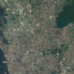


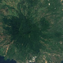
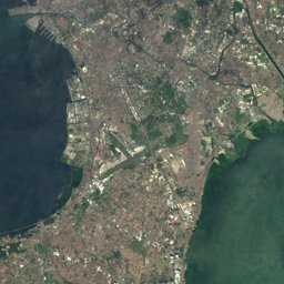
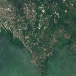



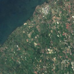
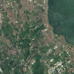




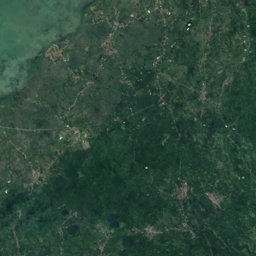




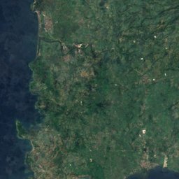
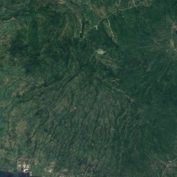
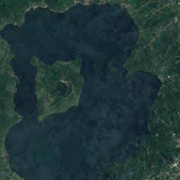
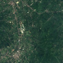
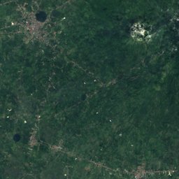

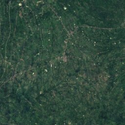
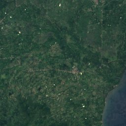
Satellite: Sentinel-2 cloudless 2016 by EOX IT Services GmbH · CC BY 4.0 · Contains modified Copernicus Sentinel data 2016
Outdoor activitiesBatas
Outdoors near Batas
within 15 km29places
Camp sites18
Golf courses6
14.20° N, 120.82° EElevation 201 mUTC+8 · Philippine Standard Time
When to goBatas · weather score
Best timeJan–Feb · Dec
October: high / low28° / 24°
Camp sites
| Name | Nearby | Details |
|---|---|---|
| Camp Benjamin | 6.3 km | Website |
| Camp Bagong Tagpuan | 3.6 km | ★★ |
| The MAST | 14 km | |
| LC-SBC Agri-Tourism and Training Institute | 10.6 km | |
| Kalmado Campsite | 13.2 km | |
| Talamitam Campsite | 13.1 km | |
| Hinalong Dagat Campsitebackcountry | 14 km | |
| Mataas na Gulod Campsite | 13.9 km | |
| Kalikhasan Leisure Farm | 3.6 km | |
| Kampo Trexo | 10.6 km | |
| Balai Nipa | 10.9 km | |
| HarninVille | 11.1 km |
Golf courses
| Name | Nearby | Details |
|---|---|---|
| Eagle Ridge Golf Club | 11.1 km | |
| Sherwood Hills Golf Club | 10.2 km | |
| Riviera Golf Course | 14.7 km | |
| Royale Tagaytay | 14.2 km | |
| Andy dye club | 11.2 km | |
| Eagle Ridge Golf and Country club | 11.4 km |
Viewpoints
| Name | Nearby | Details |
|---|---|---|
| Pico De Loro Vantage Point | 14.4 km | 396 m |
| Mt. Buntis Viewpoint | 10.8 km | |
| GOLDEN CAPED FARMS | 11.8 km |
Zoos
| Name | Nearby | Details |
|---|---|---|
| Paradizoo | 11.7 km | |
| Reptiland Adventure | 11.6 km |
Places come from an open map made by volunteers: well-known sites are there, small or new ones may be missing. Opening times and prices change, so check before you go.