


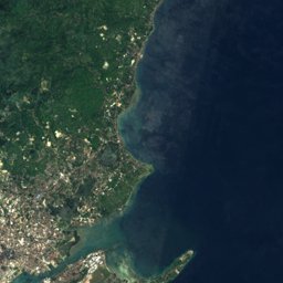


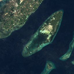
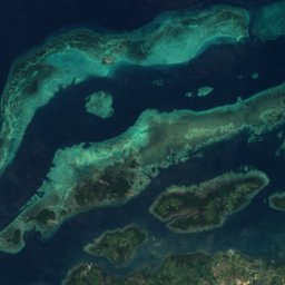
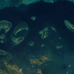
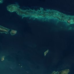
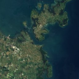
Satellite: Sentinel-2 cloudless 2016 by EOX IT Services GmbH · CC BY 4.0 · Contains modified Copernicus Sentinel data 2016
Outdoor activitiesApas
Outdoors near Apas
within 15 km48places
Viewpoints19
Camp sites17
10.34° N, 123.90° EElevation 74 mUTC+8 · Philippine Standard Time
When to goApas · weather score
Best timeFeb–Apr
October: high / low29° / 26°
Viewpoints
| Name | Nearby | Details |
|---|---|---|
| Guamamela Street | 11.9 km | |
| La Tegola | 5.2 km | |
| Mountain View | 4.8 km | |
| Beverly View | 1.6 km | |
| La Vie in the Sky | 5 km | |
| Starbuks | 5.3 km | |
| Bar Cramps | 5.5 km | |
| Duyan Viewpoint | 6.2 km | |
| First Mactan Bridge | 6.4 km | |
| Bridge lookout | 7.1 km | |
| 2nd Bridge | 7.2 km | |
| Eucalyptus | 7.5 km |
Camp sites
| Name | Nearby | Details |
|---|---|---|
| Lake Bensis Campsite | 14.8 km | |
| House of Gwapa Campsite | 8.7 km | |
| Chalet Campsite Babag | 4.9 km | |
| Amordino Cabins | 5.2 km | |
| Amordino Ridge Camp 1 | 5.6 km | |
| Manggang Par Campsite | 5.9 km | |
| Teodula's Campsite | 6.2 km | |
| Camp Adela | 6.2 km | |
| Plateau de Laborte | 6.5 km | |
| Nature Hike Otik and Benita Campsite | 6.6 km | |
| Camp Kan-irag | 7.4 km | |
| Hiker's Haven | 7.5 km |
Golf courses
| Name | Nearby | Details |
|---|---|---|
| Alta Vista Golf & Country Club | 8.7 km | |
| Cebu Country Club | 1.8 km | |
| Mactan Island Golf Club | 8.3 km | |
| Pitch & Putt | 12.3 km | |
| Friends Screen Gold | 0.9 km |
Golf courses in Central Visayas
Theme parks
| Name | Nearby | Details |
|---|---|---|
| Cebu Ocean Park | 7.1 km | Website |
| Cebu Fun Park | 7.2 km | |
| Sachiko's Little Kyoto | 6.2 km | |
| Temple of Leah | 4.5 km |
Theme parks in Central Visayas
Zoos
| Name | Nearby | Details |
|---|---|---|
| Crocolandia | 12.9 km | Website |
| The Family Park | 2 km |
Water parks
| Name | Nearby | Details |
|---|---|---|
| JPark Island Waterpark | 12.2 km |
Diving
- Divers Point Cebu2.1 km
- Aquamundo3.9 km
- Pacifica Dive4.4 km
- Aquaventure Whitetip Dive Supply5 km
Places come from an open map made by volunteers: well-known sites are there, small or new ones may be missing. Opening times and prices change, so check before you go.