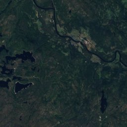
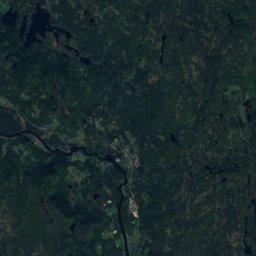
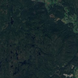
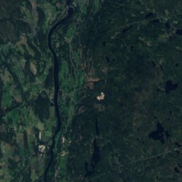
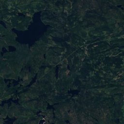
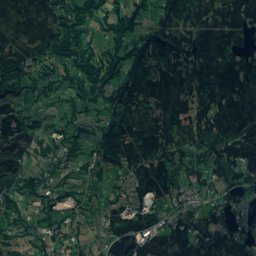
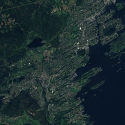
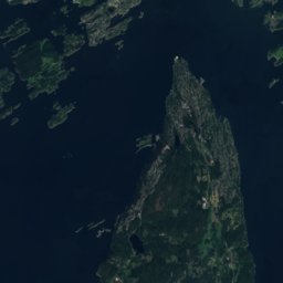
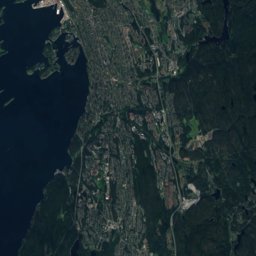
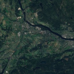
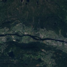
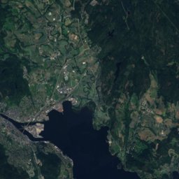
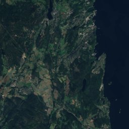
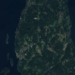
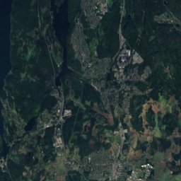
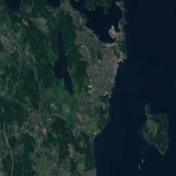
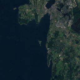
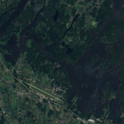
Satellite: Sentinel-2 cloudless 2016 by EOX IT Services GmbH · CC BY 4.0 · Contains modified Copernicus Sentinel data 2016
Outdoor activitiesSelvik
Outdoors near Selvik
within 15 km34places
Viewpoints19
Camp sites7
59.57° N, 10.26° EElevation 12 mUTC+1 · Central European Standard Time
When to goSelvik · weather score
Best timeJun–Aug
October: high / low10° / 4°
Viewpoints
| Name | Nearby | Details |
|---|---|---|
| Panorama Road | 12.1 km | |
| Glanern | 6.7 km | |
| Grunnane fugletårn | 7.9 km | |
| Seteråsen Tårnet | 8.4 km | |
| Panorama Gårdsvei | 9 km | |
| Panorama Svelvik | 9.3 km | |
| Flaggstanga | 9.3 km | |
| Søndre Fjellskar | 9.4 km | |
| Utsikt Ebbestad | 9.5 km | |
| Utsikt Brentås Vest | 9.5 km | |
| Utsikt Brentås | 9.5 km | |
| Utsikt Mariås | 9.7 km |
Camp sites
Golf courses
Surf spots
| Name | Nearby | Details |
|---|---|---|
| Trulsestrandakitesurf | 9.5 km | |
| Verketkitesurf | 9.9 km |
Waves, next days
| Sat 31 | Sun 1 | Mon 2 | Tue 3 | Wed 4 | |
|---|---|---|---|---|---|
| Trulsestranda, Verket | 5 m9 s · north-west | 3.2 m8 s · north-west | 3.9 m8 s · south-east | 3.7 m8 s · south-east | 2.5 m11 s · south-west |
Highest wave of each day in open water near the spot (significant height and period), from a global wave model; the break itself can differ.
Mountain huts
| Name | Nearby | Details |
|---|---|---|
| Solberghyttenstaffed | 4.8 km |
Places come from an open map made by volunteers: well-known sites are there, small or new ones may be missing. Opening times and prices change, so check before you go.