


























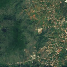
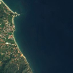





Satellite: Sentinel-2 cloudless 2016 by EOX IT Services GmbH · CC BY 4.0 · Contains modified Copernicus Sentinel data 2016
IslandLa Asunción, Nueva Esparta
Morro Blanco
Island41 m elevationBest Jan–Mar
Elevation41 mabove sea level
Area–surface
Nearest townLa Asunción23 km
11.22° N, 63.77° WElevation 41 mUTC−4 · Venezuela Time
When to goLa Asunción · weather score
Best timeJan–Mar
October: high / low27° / 26°
Island
Morro Blanco in brief
Morro Blanco is an island in La Asunción, Nueva Esparta, Venezuela.
It lies at 41 m above sea level.
The nearest town in the atlas is La Asunción, 23 km to the SW, where the weather is best in January, February and March.
Weather nearby now
Forecast for La Asunción28°
Cloudy now
Today
22 Oct
28°
27°
Fri
23 Oct
28°
27°
Sat
24 Oct
28°
27°
Sun
25 Oct
28°
27°
Mon
26 Oct
28°
28°
Model run 00:00 UTCRefreshed several times a day
Map
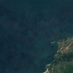
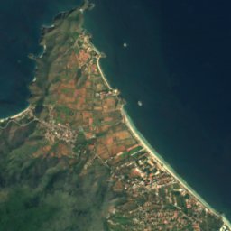
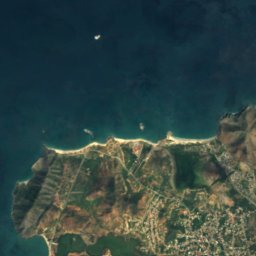
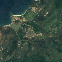
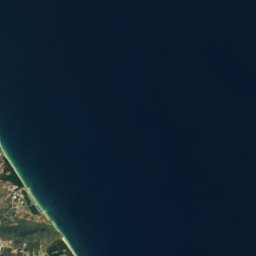
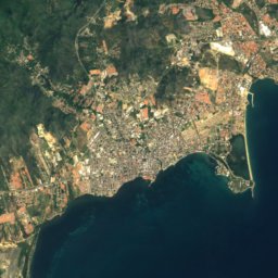
Morro Blanco from above
Nature nearbyAll of Venezuela
Satellite: Sentinel-2 cloudless 2016 by EOX IT Services GmbH · CC BY 4.0 · Contains modified Copernicus Sentinel data 2016
Satellite: Sentinel-2 cloudless 2016 by EOX IT Services GmbH · CC BY 4.0 · Contains modified Copernicus Sentinel data 2016
Satellite: Sentinel-2 cloudless 2016 by EOX IT Services GmbH · CC BY 4.0 · Contains modified Copernicus Sentinel data 2016
Satellite: Sentinel-2 cloudless 2016 by EOX IT Services GmbH · CC BY 4.0 · Contains modified Copernicus Sentinel data 2016
Satellite: Sentinel-2 cloudless 2016 by EOX IT Services GmbH · CC BY 4.0 · Contains modified Copernicus Sentinel data 2016
Satellite: Sentinel-2 cloudless 2016 by EOX IT Services GmbH · CC BY 4.0 · Contains modified Copernicus Sentinel data 2016
Summits nearbyMountains of Venezuela




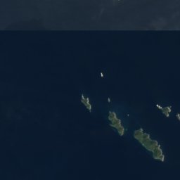


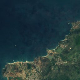
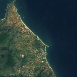


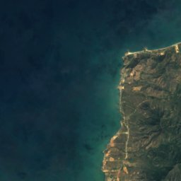
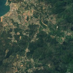
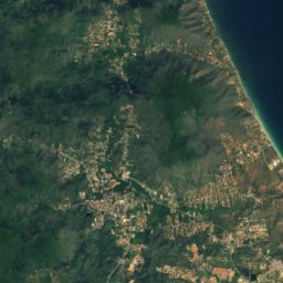
Satellite: Sentinel-2 cloudless 2016 by EOX IT Services GmbH · CC BY 4.0 · Contains modified Copernicus Sentinel data 2016
Stay nearby
Towns close by


Around here
La Asunción and around
Nature

Satellite: Sentinel-2 cloudless 2016 by EOX IT Services GmbH · CC BY 4.0 · Contains modified Copernicus Sentinel data 2016
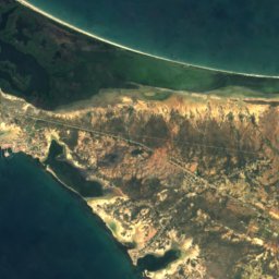
Playa Parguito
Beach
Mountains
Satellite: Sentinel-2 cloudless 2016 by EOX IT Services GmbH · CC BY 4.0 · Contains modified Copernicus Sentinel data 2016
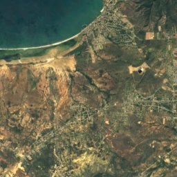
Cerro El Copey
960 m
Satellite: Sentinel-2 cloudless 2016 by EOX IT Services GmbH · CC BY 4.0 · Contains modified Copernicus Sentinel data 2016
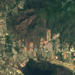
Montaña de Copey
790 m
Satellite: Sentinel-2 cloudless 2016 by EOX IT Services GmbH · CC BY 4.0 · Contains modified Copernicus Sentinel data 2016
Cerro El Tamoco
435 m
Heritage


San Carlos de Borromeo Fortress
National historical monument of Venezuela


Fortín Santiago de La Caranta
National historical monument of Venezuela
Museums


Museo de Arte Contemporáneo Francisco Narváez
Art museum