
Photo: Fallaner · CC BY-SA 4.0 · Wikimedia Commons
Grotta di LourdesReport this photo · linked, not stored
Grotta di LourdesReport this photo · linked, not stored

Photo: Livioandronico2013 · CC BY-SA 3.0 · Wikimedia Commons
Tiber IslandReport this photo · linked, not stored
Tiber IslandTiber IslandReport this photo · linked, not stored

Photo: Unknown author · Public domain · Wikimedia Commons
LupercalReport this photo · linked, not stored
LupercalLupercalReport this photo · linked, not stored

Photo: The original uploader was Luestling at German Wikipedia. · Public domain · Wikimedia Commons
AnieneReport this photo · linked, not stored
AnieneAnieneReport this photo · linked, not stored

Photo: Albarubescens · CC BY-SA 4.0 · Wikimedia Commons
CremeraReport this photo · linked, not stored
CremeraCremeraReport this photo · linked, not stored
CaveVatican City, Vatican
Grotta di Lourdes
CaveBest Apr–May · Oct
Elevation–above sea level
Inside16°Call year
Nearest townVatican City0.5 km
41.90° N, 12.45° EUTC+2 · Central European Summer Time
When to goVatican City · weather score
Best timeApr–May · Oct
October: high / low23° / 12°
Cave
Grotta di Lourdes in brief
Grotta di Lourdes is a cave in Vatican City, Vatican.
The nearest town in the atlas is Vatican City, 0.5 km to the E, where the weather is best in April, May and October.
Inside, a cave stays close to the average yearly air temperature outside: about 16°C all year.
Weather nearby now
Forecast for Vatican City21°
Partly cloudy now
Today
22 Oct
23°
13°
Fri
23 Oct
22°
10°
1 mm
Sat
24 Oct
21°
12°
7 mm
Sun
25 Oct
19°
9°
Mon
26 Oct
20°
8°
Model run 00:00 UTCRefreshed several times a day
When to go
Climate of Vatican CityThe best months around Grotta di Lourdes
Month score in Vatican City
Comfort, dry days and sunshine · out of 10047
Jan
54
Feb
68
Mar
78
Apr
77
May
69
Jun
61
Jul
60
Aug
68
Sep
77
Oct
66
Nov
48
Dec
Map
Grotta di Lourdes from above
Nature nearbyAll of Vatican City


Photo: The original uploader was Luestling at German Wikipedia. · Public domain · Wikimedia CommonsReport this photo · linked, not stored

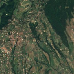
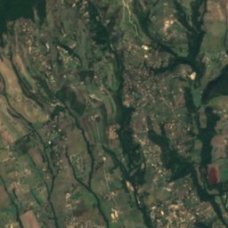
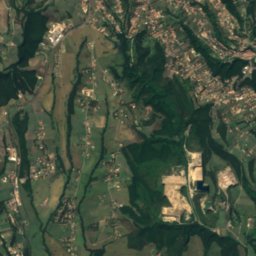
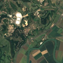
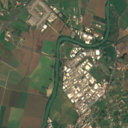
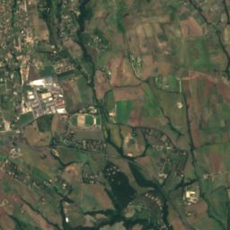
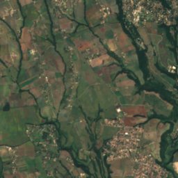
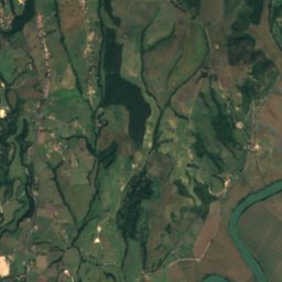
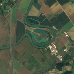
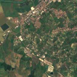
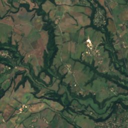
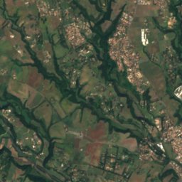
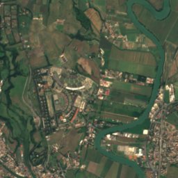
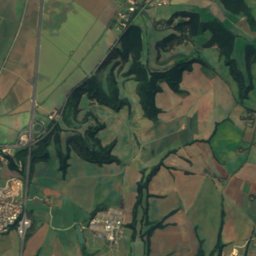
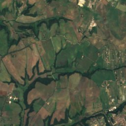
Satellite: Sentinel-2 cloudless 2016 by EOX IT Services GmbH · CC BY 4.0 · Contains modified Copernicus Sentinel data 2016


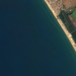
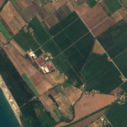
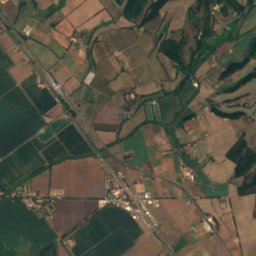



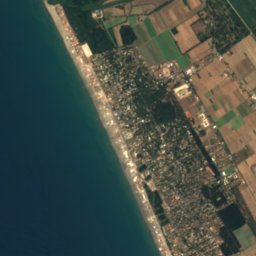
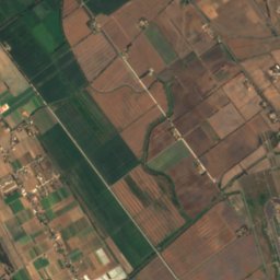



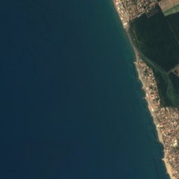
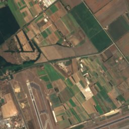
Satellite: Sentinel-2 cloudless 2016 by EOX IT Services GmbH · CC BY 4.0 · Contains modified Copernicus Sentinel data 2016
Summits nearbyMountains of Vatican City

Stay nearby
Towns close by


Photo: Bert Kaufmann from Roermond, Netherlands · CC BY-SA 2.0 · Wikimedia CommonsReport this photo · linked, not stored
Rome
Lazio · 5.3 km E
23°Oct high
10wet days
76score

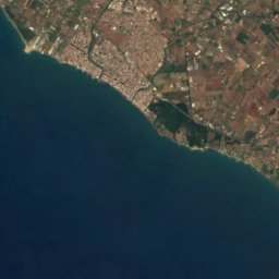
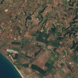
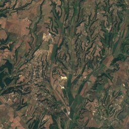
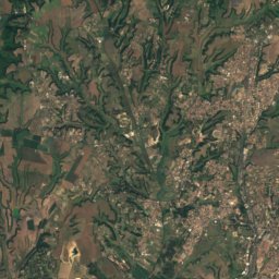
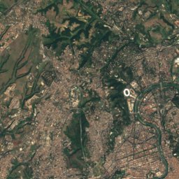

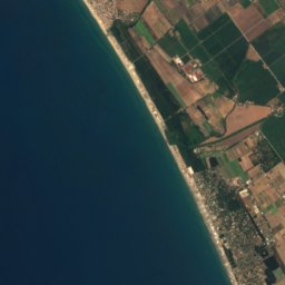

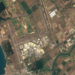
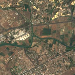
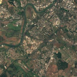
Satellite: Sentinel-2 cloudless 2016 by EOX IT Services GmbH · CC BY 4.0 · Contains modified Copernicus Sentinel data 2016
Ponte Galeria-La Pisana
Lazio · 11 km SW
22°Oct high
10wet days
77score
Around here
Vatican City and around
Nature
Photo: The original uploader was Luestling at German Wikipedia. · Public domain · Wikimedia CommonsReport this photo · linked, not stored
Aniene
River
Mountains


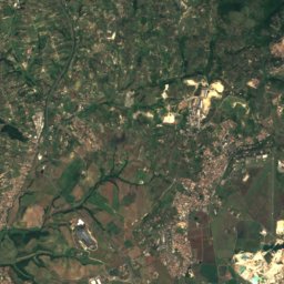
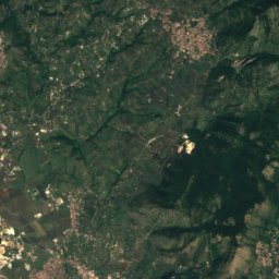
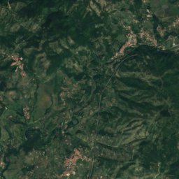
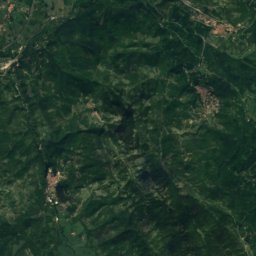
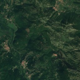
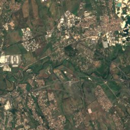
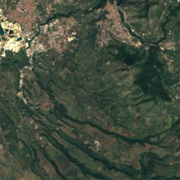
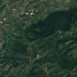
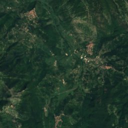
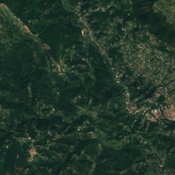
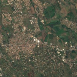
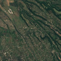
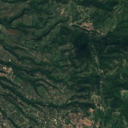
Satellite: Sentinel-2 cloudless 2016 by EOX IT Services GmbH · CC BY 4.0 · Contains modified Copernicus Sentinel data 2016
Monte Cerella
1,202 m · Monti Prenestini
Heritage

Satellite: Sentinel-2 cloudless 2016 by EOX IT Services GmbH · CC BY 4.0 · Contains modified Copernicus Sentinel data 2016
Vatican City
World Heritage Site · 1929

Museums


Galleria Nazionale d'Arte Moderna e Contemporanea di Roma
Museum of modern art · 1883