

Photo: Phillip Capper from Wellington, New Zealand · CC BY 2.0 · Wikimedia Commons
EretokaReport this photo · linked, not stored
EretokaEretokaReport this photo · linked, not stored
CavePort Vila, Shefa
Fels Cave
CaveBest Aug–Oct
Elevation–above sea level
Inside25°Call year
Nearest townPort Vila18 km
17.61° S, 168.21° EUTC+11 · Vanuatu Standard Time
When to goPort Vila · weather score
Best timeAug–Oct
October: high / low25° / 24°
Cave
Fels Cave in brief
Fels Cave is a cave in Port Vila, Shefa, Vanuatu.
The nearest town in the atlas is Port Vila, 18 km to the SE, where the weather is best in August, September and October.
Inside, a cave stays close to the average yearly air temperature outside: about 25°C all year.
Weather nearby now
Forecast for Port Vila23°
Clear now
Today
23 Oct
26°
22°
3 mm
Sat
24 Oct
26°
23°
2 mm
Sun
25 Oct
27°
23°
Mon
26 Oct
27°
23°
Tue
27 Oct
27°
23°
Model run 00:00 UTCRefreshed several times a day
When to go
Climate of Port VilaThe best months around Fels Cave
Month score in Port Vila
Comfort, dry days and sunshine · out of 10053
Jan
49
Feb
51
Mar
57
Apr
60
May
63
Jun
64
Jul
65
Aug
69
Sep
67
Oct
63
Nov
59
Dec
Map
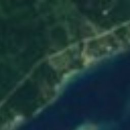
Fels Cave from above
Nature nearbyAll of Vanuatu


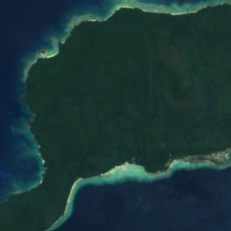
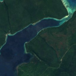


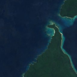
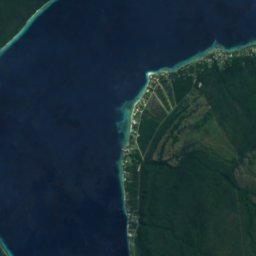
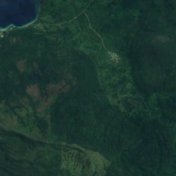

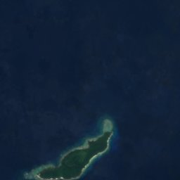
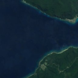
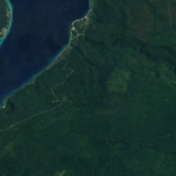
Satellite: Sentinel-2 cloudless 2016 by EOX IT Services GmbH · CC BY 4.0 · Contains modified Copernicus Sentinel data 2016

Photo: Phillip Capper from Wellington, New Zealand · CC BY 2.0 · Wikimedia CommonsReport this photo · linked, not stored



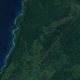
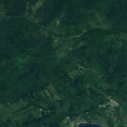


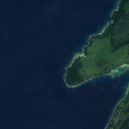
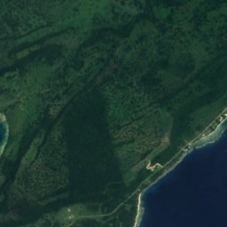
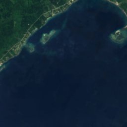
Satellite: Sentinel-2 cloudless 2016 by EOX IT Services GmbH · CC BY 4.0 · Contains modified Copernicus Sentinel data 2016



Satellite: Sentinel-2 cloudless 2016 by EOX IT Services GmbH · CC BY 4.0 · Contains modified Copernicus Sentinel data 2016
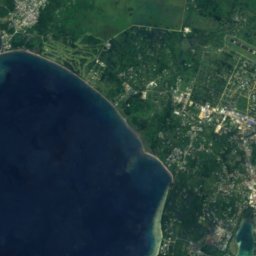
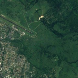
Satellite: Sentinel-2 cloudless 2016 by EOX IT Services GmbH · CC BY 4.0 · Contains modified Copernicus Sentinel data 2016



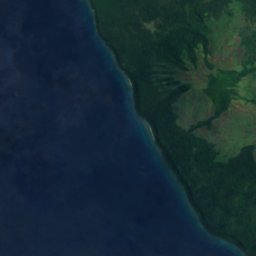
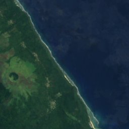
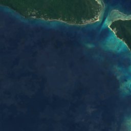
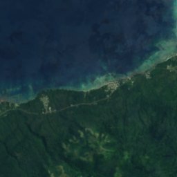
Satellite: Sentinel-2 cloudless 2016 by EOX IT Services GmbH · CC BY 4.0 · Contains modified Copernicus Sentinel data 2016
Summits nearbyMountains of Vanuatu

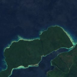
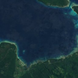
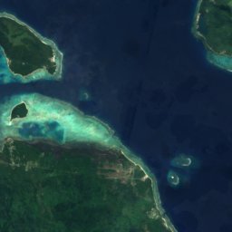

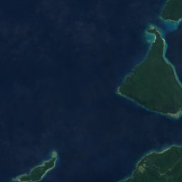
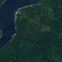

Satellite: Sentinel-2 cloudless 2016 by EOX IT Services GmbH · CC BY 4.0 · Contains modified Copernicus Sentinel data 2016
Satellite: Sentinel-2 cloudless 2016 by EOX IT Services GmbH · CC BY 4.0 · Contains modified Copernicus Sentinel data 2016
Stay nearby
Towns close by

Photo: Phillip Capper from Wellington, New Zealand · CC BY 2.0 · Wikimedia CommonsReport this photo · linked, not stored
Port Vila
Shefa · 18 km SE
25°Oct high
18wet days
67score

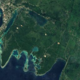



Around here
Port Vila and around
Photo: Phillip Capper from Wellington, New Zealand · CC BY 2.0 · Wikimedia CommonsReport this photo · linked, not stored
Port Vila
Shefa · Vanuatu
Aug–Octbest months
24°July high
10 maltitude
Nature
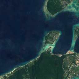
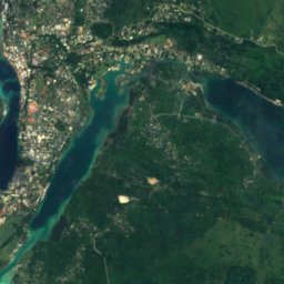
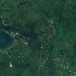
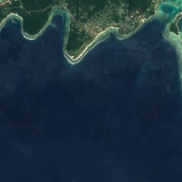
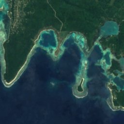
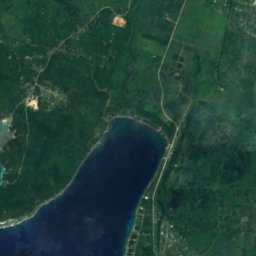
Satellite: Sentinel-2 cloudless 2016 by EOX IT Services GmbH · CC BY 4.0 · Contains modified Copernicus Sentinel data 2016
Lololima River
River

Photo: Phillip Capper from Wellington, New Zealand · CC BY 2.0 · Wikimedia CommonsReport this photo · linked, not stored
Erakor Island
Island · 14 m

Mountains
Satellite: Sentinel-2 cloudless 2016 by EOX IT Services GmbH · CC BY 4.0 · Contains modified Copernicus Sentinel data 2016
Ebaonapkas
318 m
Satellite: Sentinel-2 cloudless 2016 by EOX IT Services GmbH · CC BY 4.0 · Contains modified Copernicus Sentinel data 2016
Mount Bernier
318 m
Heritage

Satellite: Sentinel-2 cloudless 2016 by EOX IT Services GmbH · CC BY 4.0 · Contains modified Copernicus Sentinel data 2016
Chief Roi Mata’s Domain
World Heritage Site
Museums



Satellite: Sentinel-2 cloudless 2016 by EOX IT Services GmbH · CC BY 4.0 · Contains modified Copernicus Sentinel data 2016