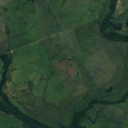
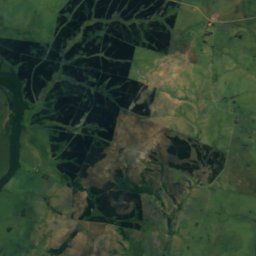
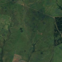
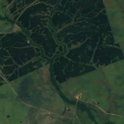
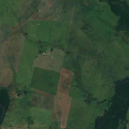
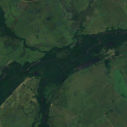
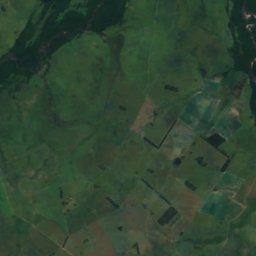
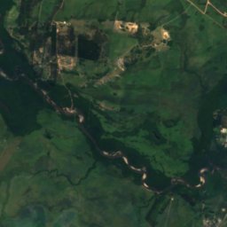
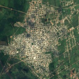
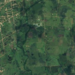
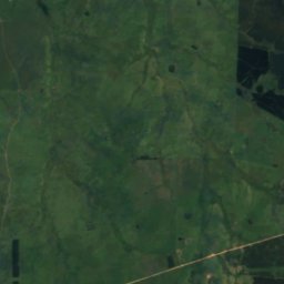
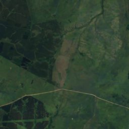
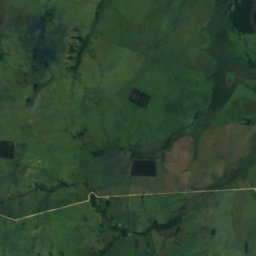
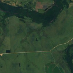
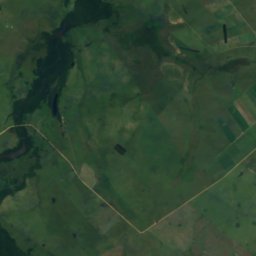
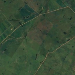
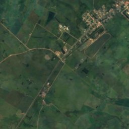
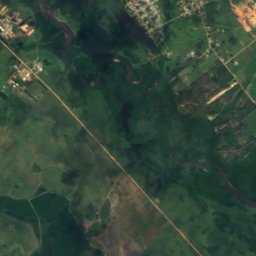
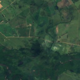
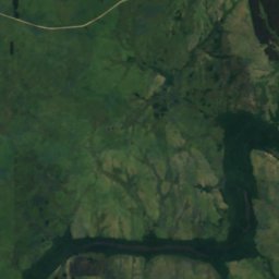
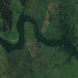
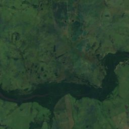
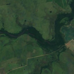
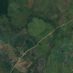
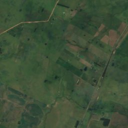
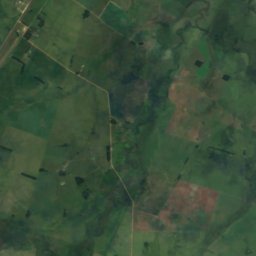
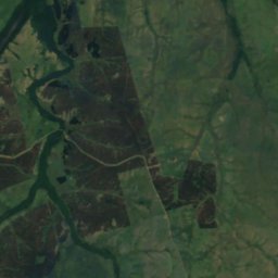
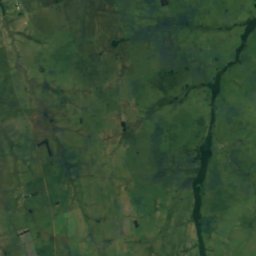
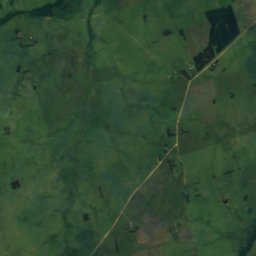
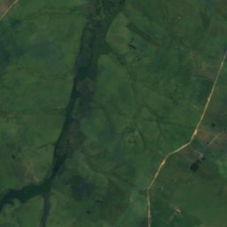
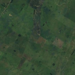
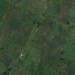
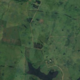
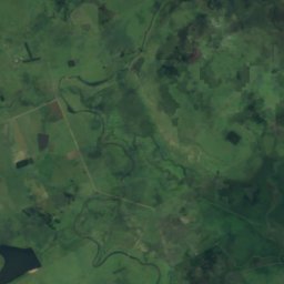
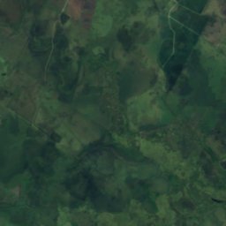
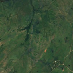
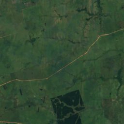
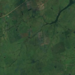
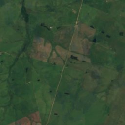
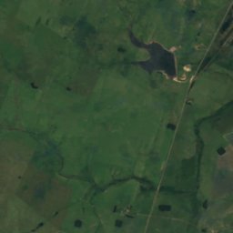
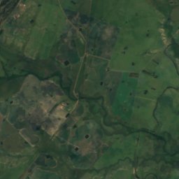
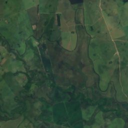
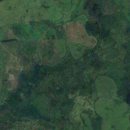
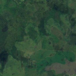
Satellite: Sentinel-2 cloudless 2016 by EOX IT Services GmbH · CC BY 4.0 · Contains modified Copernicus Sentinel data 2016
RiverVilla Sara, Treinta y Tres Department
Cañada Arrayanes
RiverBest Apr · Oct–Nov
Elevation–above sea level
Length10 kmsource to mouth
Nearest townVilla Sara6.7 km
33.29° S, 54.48° WUTC−3 · Uruguay Standard Time
When to goVilla Sara · weather score
Best timeApr · Oct–Nov
October: high / low22° / 12°
River
Cañada Arrayanes in brief
Cañada Arrayanes is a river in Villa Sara, Treinta y Tres Department, Uruguay.
The nearest town is Villa Sara, 6.7 km to the NE, where the weather is best in April, October and November.
Cañada Arrayanes is 10 km long.
Weather nearby now
Forecast for Villa Sara15°
Cloudy now
Today
24 Oct
19°
14°
1 mm
Sun
25 Oct
15°
11°
3 mm
Mon
26 Oct
16°
6°
Tue
27 Oct
19°
9°
1 mm
Wed
28 Oct
20°
12°
3 mm
Model run 00:00 UTCRefreshed several times a day
When to go
Climate of Villa SaraThe best months around Cañada Arrayanes
Month score in Villa Sara
Comfort, dry days and sunshine · out of 10066
Jan
66
Feb
74
Mar
81
Apr
77
May
64
Jun
68
Jul
78
Aug
72
Sep
81
Oct
81
Nov
76
Dec
Map
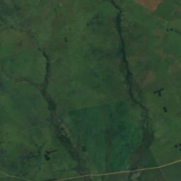
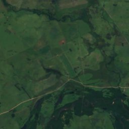
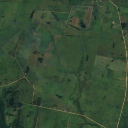
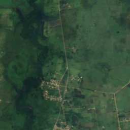
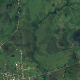
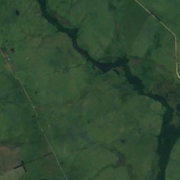
Cañada Arrayanes from above
Nature nearbyAll of Uruguay
Satellite: Sentinel-2 cloudless 2016 by EOX IT Services GmbH · CC BY 4.0 · Contains modified Copernicus Sentinel data 2016
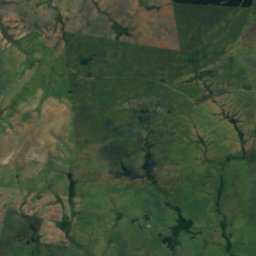
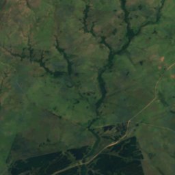
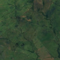
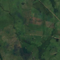
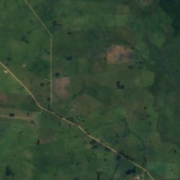
Satellite: Sentinel-2 cloudless 2016 by EOX IT Services GmbH · CC BY 4.0 · Contains modified Copernicus Sentinel data 2016
Satellite: Sentinel-2 cloudless 2016 by EOX IT Services GmbH · CC BY 4.0 · Contains modified Copernicus Sentinel data 2016
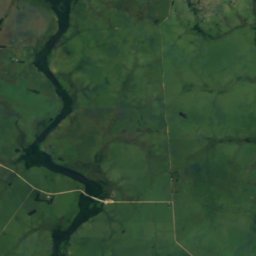
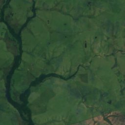
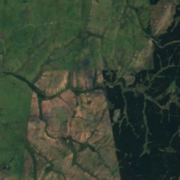
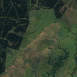
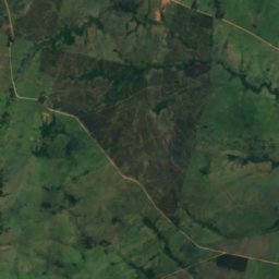
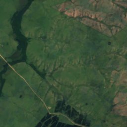
Satellite: Sentinel-2 cloudless 2016 by EOX IT Services GmbH · CC BY 4.0 · Contains modified Copernicus Sentinel data 2016
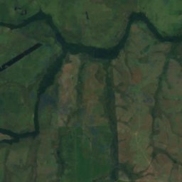
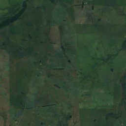
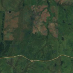
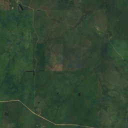
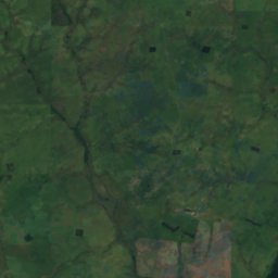
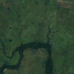
Satellite: Sentinel-2 cloudless 2016 by EOX IT Services GmbH · CC BY 4.0 · Contains modified Copernicus Sentinel data 2016
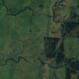
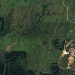
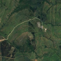
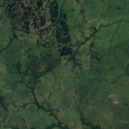
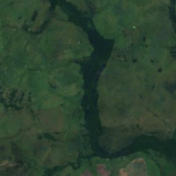
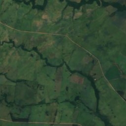
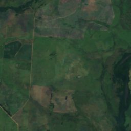
Satellite: Sentinel-2 cloudless 2016 by EOX IT Services GmbH · CC BY 4.0 · Contains modified Copernicus Sentinel data 2016
Stay nearby
Towns close by
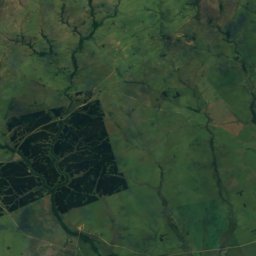
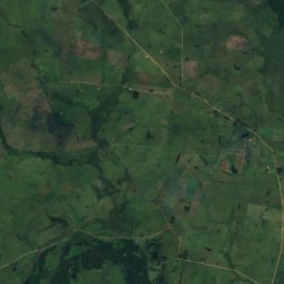
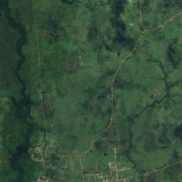
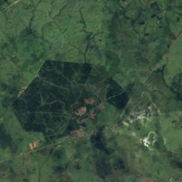
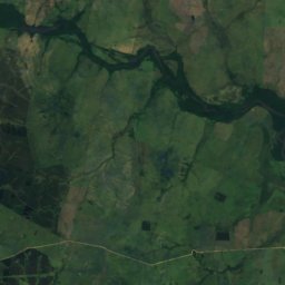
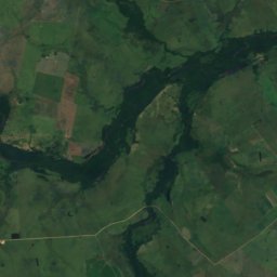
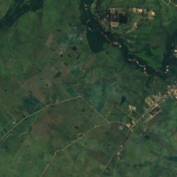
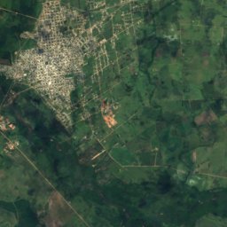
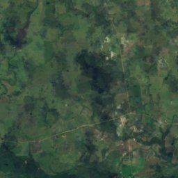
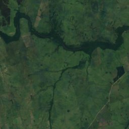
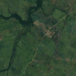
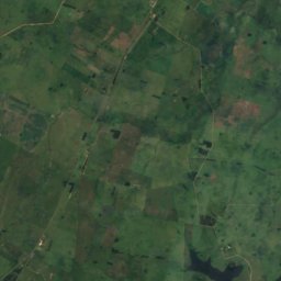
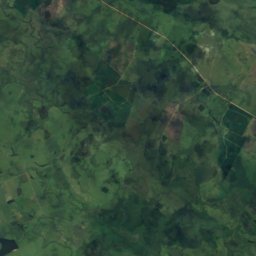
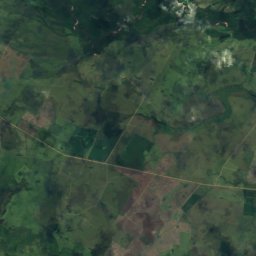
Satellite: Sentinel-2 cloudless 2016 by EOX IT Services GmbH · CC BY 4.0 · Contains modified Copernicus Sentinel data 2016
Villa Sara
Treinta y Tres Department · 6.7 km NE
22°Oct high
7wet days
81score


Around here
Villa Sara and around
Satellite: Sentinel-2 cloudless 2016 by EOX IT Services GmbH · CC BY 4.0 · Contains modified Copernicus Sentinel data 2016
Villa Sara
Treinta y Tres Department · Uruguay
Apr · Oct–Novbest months
16°July high
37 maltitude
Nature
Satellite: Sentinel-2 cloudless 2016 by EOX IT Services GmbH · CC BY 4.0 · Contains modified Copernicus Sentinel data 2016
Yerbal Grande Stream
River
Satellite: Sentinel-2 cloudless 2016 by EOX IT Services GmbH · CC BY 4.0 · Contains modified Copernicus Sentinel data 2016
Arroyo Pajas
River
Satellite: Sentinel-2 cloudless 2016 by EOX IT Services GmbH · CC BY 4.0 · Contains modified Copernicus Sentinel data 2016
Arroyo Los Quebrachos
River
Heritage
Museums


Satellite: Sentinel-2 cloudless 2016 by EOX IT Services GmbH · CC BY 4.0 · Contains modified Copernicus Sentinel data 2016
Museo Agustín Araújo
1961
Satellite: Sentinel-2 cloudless 2016 by EOX IT Services GmbH · CC BY 4.0 · Contains modified Copernicus Sentinel data 2016