
Photo: Frank Schulenburg · CC BY-SA 4.0 · Wikimedia Commons
WaikikiReport this photo · linked, not stored
WaikikiReport this photo · linked, not stored

Photo: Peaceray · CC BY-SA 3.0 · Wikimedia Commons
Grays Beach, HawaiiReport this photo · linked, not stored
Grays Beach, HawaiiGrays Beach, HawaiiReport this photo · linked, not stored

Photo: Peaceray · CC BY-SA 3.0 · Wikimedia Commons
Royal-Moana BeachReport this photo · linked, not stored
Royal-Moana BeachRoyal-Moana BeachReport this photo · linked, not stored

Photo: Fuzheado · CC BY-SA 3.0 · Wikimedia Commons
Cresent BeachReport this photo · linked, not stored
Cresent BeachCresent BeachReport this photo · linked, not stored

Photo: Commander Grady Tuell, NOAA Corps · Public domain · Wikimedia Commons
Koʻolau RangeReport this photo · linked, not stored
Koʻolau RangeKoʻolau RangeReport this photo · linked, not stored
BeachWaikīkī, Hawaii
Waikiki
BeachBest Jan–Feb · May
Elevation–above sea level
Sea, warmest80°FSeptember
Nearest townWaikīkī0.8 mi
21.28° N, 157.83° WUTC−10 · Hawaii-Aleutian Standard Time
When to goWaikīkī · weather score
Best timeJan–Feb · May
October: high / low84° / 73°
Beach
Waikiki in brief
Waikiki is a beach in Waikīkī, Hawaii, United States.
It covers about 8.8 km².
The nearest town in the atlas is Waikīkī, 0.8 mi to the NW, where the weather is best in January, February and May.
The sea is warmest in September, at about 80°F.
Weather nearby now
Forecast for Waikīkī78°
Clear now
Today
22 Oct
84°
73°
0.1 in
Fri
23 Oct
84°
71°
0.1 in
Sat
24 Oct
84°
72°
Sun
25 Oct
83°
71°
0.1 in
Mon
26 Oct
83°
72°
Model run 00:00 UTCRefreshed several times a day
Sea and air through the year
Sea surface temperature off the coast and the average daily high in Waikīkī, month by month.Jan76°79°
Feb75°79°
Mar75°79°
Apr76°80°
May77°82°
Jun78°83°
Jul79°84°
Aug80°85°
Sep80°85°
Oct80°84°
Nov79°82°
Dec77°80°
seaair, daily high
Map
Waikiki from above
Nature nearbyAll of the United States


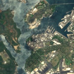
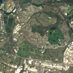
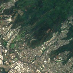
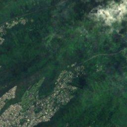
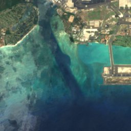
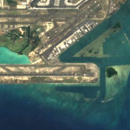
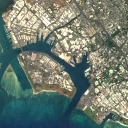
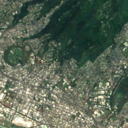
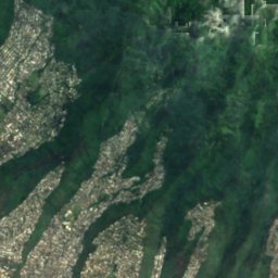



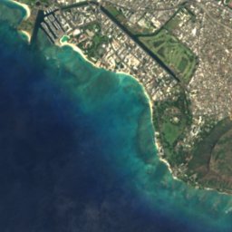
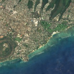
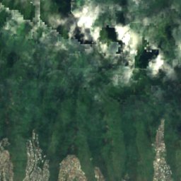
Satellite: Sentinel-2 cloudless 2016 by EOX IT Services GmbH · CC BY 4.0 · Contains modified Copernicus Sentinel data 2016
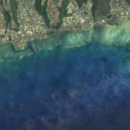





Satellite: Sentinel-2 cloudless 2016 by EOX IT Services GmbH · CC BY 4.0 · Contains modified Copernicus Sentinel data 2016

Satellite: Sentinel-2 cloudless 2016 by EOX IT Services GmbH · CC BY 4.0 · Contains modified Copernicus Sentinel data 2016
Summits nearbyMountains of the United States

Photo: Commander Grady Tuell, NOAA Corps · Public domain · Wikimedia CommonsReport this photo · linked, not stored


Stay nearby
Towns close by


Diamond Head / Kapahulu / Saint Louis Heights
Hawaii · 1.1 mi E
84°Oct high
15wet days
51score


Around here
Waikīkī and around
Nature

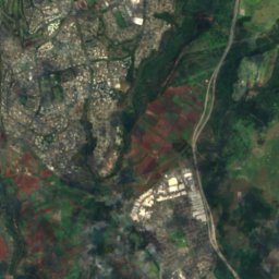
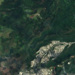
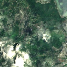
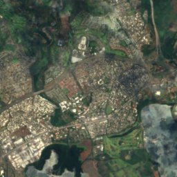
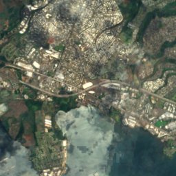
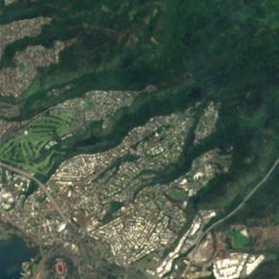
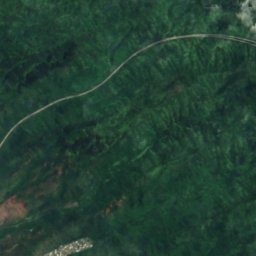
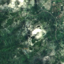
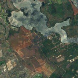
Satellite: Sentinel-2 cloudless 2016 by EOX IT Services GmbH · CC BY 4.0 · Contains modified Copernicus Sentinel data 2016
Salt Lake, Hawaii
Lake
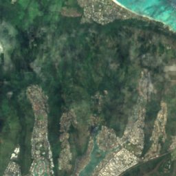
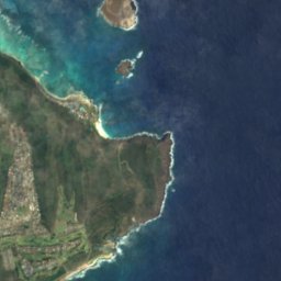
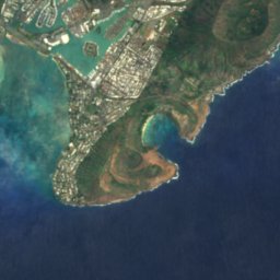


Satellite: Sentinel-2 cloudless 2016 by EOX IT Services GmbH · CC BY 4.0 · Contains modified Copernicus Sentinel data 2016
Spitting Cave
Cave
Mountains
Photo: Commander Grady Tuell, NOAA Corps · Public domain · Wikimedia CommonsReport this photo · linked, not stored
Koʻolau Range
3,104 ft


Heritage

Waikiki Natatorium War Memorial
National Register of Historic Places listed place · 1927


Sacred Heart Church-Punahou
National Register of Historic Places listed place · 1914
Museums
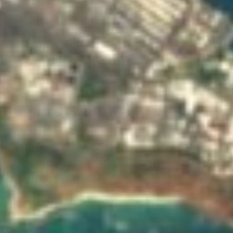

Satellite: Sentinel-2 cloudless 2016 by EOX IT Services GmbH · CC BY 4.0 · Contains modified Copernicus Sentinel data 2016
Honolulu Museum of Art
Art museum · 1922


