
Photo: Zachiroth at English Wikipedia · Public domain · Wikimedia Commons
Venice Beach, CaliforniaReport this photo · linked, not stored
Venice Beach, CaliforniaReport this photo · linked, not stored

Photo: Alexander Migl · CC BY-SA 4.0 · Wikimedia Commons
Santa Monica State BeachReport this photo · linked, not stored
Santa Monica State BeachSanta Monica State BeachReport this photo · linked, not stored
 Palisades Beach

Photo: Sterling Dee · CC BY 4.0 · Wikimedia Commons
Dockweiler State BeachReport this photo · linked, not stored
Dockweiler State BeachDockweiler State BeachReport this photo · linked, not stored

Photo: MiniHolland · CC BY-SA 3.0 · Wikimedia Commons
Saddle PeakReport this photo · linked, not stored
Saddle PeakSaddle PeakReport this photo · linked, not stored
BeachSanta Monica, California
Venice Beach, California
BeachBest May–Jul
Elevation–above sea level
Sea, warmest68°FAugust
Nearest townSanta Monica2.5 mi
33.99° N, 118.48° WUTC−7 · Pacific Daylight Time
When to goSanta Monica · weather score
Best timeMay–Jul
October: high / low76° / 59°
Beach
Venice Beach, California in brief
Venice Beach, California is a beach in Santa Monica, California, United States — white sand beach in Venice, Los Angeles.
The nearest town in the atlas is Santa Monica, 2.5 mi to the N, where the weather is best in May, June and July.
The sea is warmest in August, at about 68°F.
Weather nearby now
Forecast for Santa Monica60°
Rain now
Today
22 Oct
64°
60°
0.2 in
Fri
23 Oct
66°
58°
Sat
24 Oct
70°
59°
Sun
25 Oct
71°
60°
Mon
26 Oct
72°
60°
Model run 00:00 UTCRefreshed several times a day
Sea and air through the year
Sea surface temperature off the coast and the average daily high in Santa Monica, month by month.Jan59°67°
Feb59°67°
Mar59°68°
Apr59°70°
May62°71°
Jun65°73°
Jul67°77°
Aug68°79°
Sep68°79°
Oct66°76°
Nov63°72°
Dec60°67°
seaair, daily high
Map
Venice Beach, California from above
Nature nearbyAll of the United States
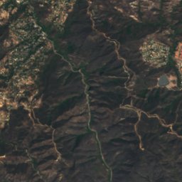
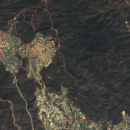
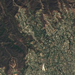
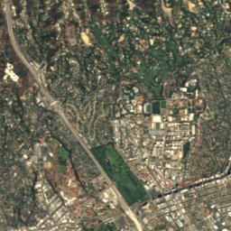
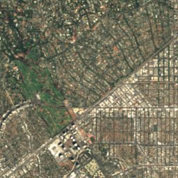
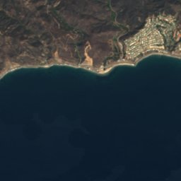
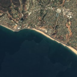
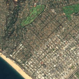
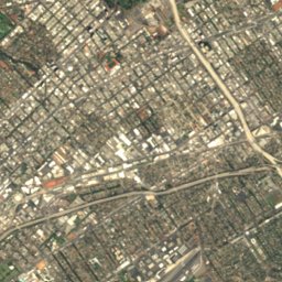
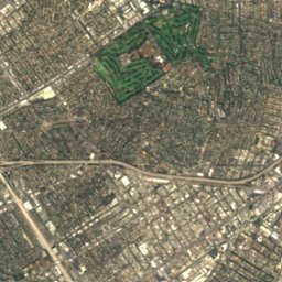


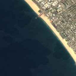
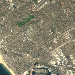
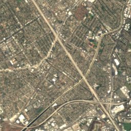
Satellite: Sentinel-2 cloudless 2016 by EOX IT Services GmbH · CC BY 4.0 · Contains modified Copernicus Sentinel data 2016




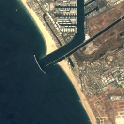
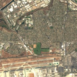
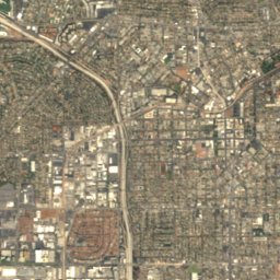


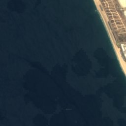
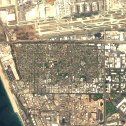
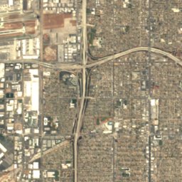



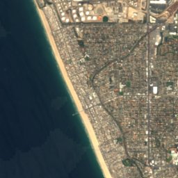
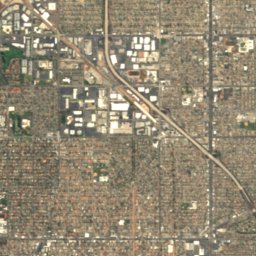
Satellite: Sentinel-2 cloudless 2016 by EOX IT Services GmbH · CC BY 4.0 · Contains modified Copernicus Sentinel data 2016
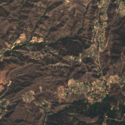
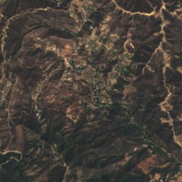
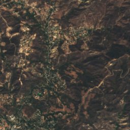
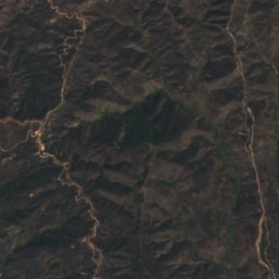
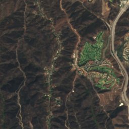
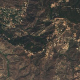
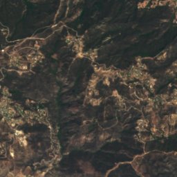
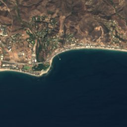
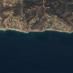
Satellite: Sentinel-2 cloudless 2016 by EOX IT Services GmbH · CC BY 4.0 · Contains modified Copernicus Sentinel data 2016
Summits nearbyMountains of the United States

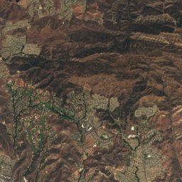
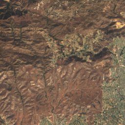
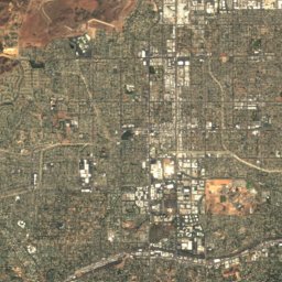
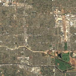
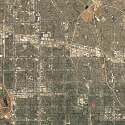
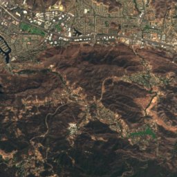
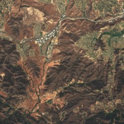
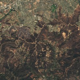
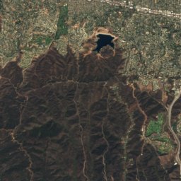
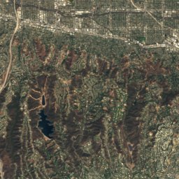
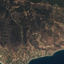
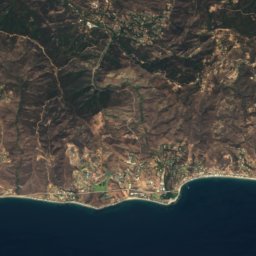
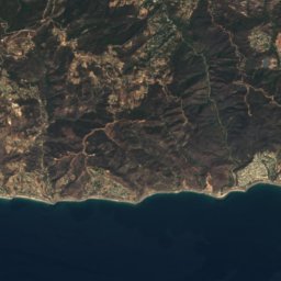
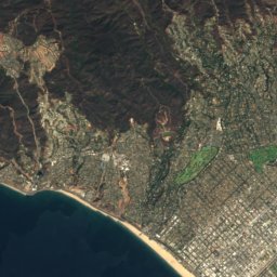
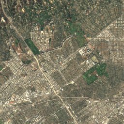
Satellite: Sentinel-2 cloudless 2016 by EOX IT Services GmbH · CC BY 4.0 · Contains modified Copernicus Sentinel data 2016


Stay nearby
Towns close by

Photo: Mike Gonzalez (TheCoffee) · CC BY-SA 3.0 · Wikimedia CommonsReport this photo · linked, not stored
Santa Monica
California · 2.5 mi N
76°Oct high
2wet days
95score

Photo: Ken Lund from Reno, Nevada, USA · CC BY-SA 2.0 · Wikimedia CommonsReport this photo · linked, not stored
El Segundo
California · 5.7 mi SE
75°Oct high
2wet days
95score

Photo: Ken Lund from Reno, Nevada, USA · CC BY-SA 2.0 · Wikimedia CommonsReport this photo · linked, not stored
Inglewood
California · 7.2 mi E
77°Oct high
2wet days
94score

Around here
Santa Monica and around
Photo: Mike Gonzalez (TheCoffee) · CC BY-SA 3.0 · Wikimedia CommonsReport this photo · linked, not stored
Santa Monica
California · United States
May–Julbest months
77°July high
105 ftaltitude
Nature

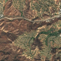
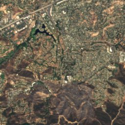
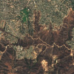
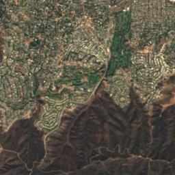
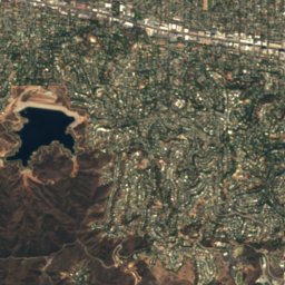
Satellite: Sentinel-2 cloudless 2016 by EOX IT Services GmbH · CC BY 4.0 · Contains modified Copernicus Sentinel data 2016
Santa Ynez Reservoir
Lake

Mountains

Photo: Doc Searls from Santa Barbara, USA · CC BY 2.0 · Wikimedia CommonsReport this photo · linked, not stored
Mount Lukens
5,075 ft · San Gabriel Mountains

Photo: USMARINE0311 from California, United States · CC BY-SA 2.0 · Wikimedia CommonsReport this photo · linked, not stored
Castro Peak
2,826 ft · Santa Monica Mountains
Heritage


The Georgian Hotel
City of Santa Monica Designated Historic Landmark · 1931

Museums






Satellite: Sentinel-2 cloudless 2016 by EOX IT Services GmbH · CC BY 4.0 · Contains modified Copernicus Sentinel data 2016
Angels Attic
Toy museum · 1984