























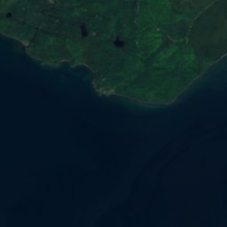
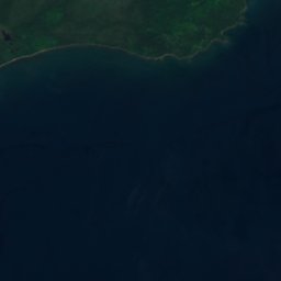




Satellite: Sentinel-2 cloudless 2016 by EOX IT Services GmbH · CC BY 4.0 · Contains modified Copernicus Sentinel data 2016
LakeCopper Harbor, Michigan
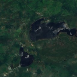
Schlatter Lake
Lake663 ft elevationBest Jun–Aug
Elevation663 ftabove sea level
Area1.1 km²surface
Nearest townCopper Harbor7.4 mi
47.43° N, 87.74° WElevation 663 ftUTC−4 · Eastern Daylight Time
When to goCopper Harbor · weather score
Best timeJun–Aug
October: high / low52° / 39°
Lake
Schlatter Lake in brief
Schlatter Lake is a lake in Copper Harbor, Michigan, United States.
It lies at 663 ft above sea level and covers about 1.1 km².
The nearest town in the atlas is Copper Harbor, 7.4 mi to the W, where the weather is best in June, July and August.
Weather nearby now
Forecast for Copper Harbor48°
Partly cloudy now
Today
22 Oct
54°
42°
Fri
23 Oct
60°
45°
Sat
24 Oct
61°
50°
0.0 in
Sun
25 Oct
55°
42°
0.1 in
Mon
26 Oct
47°
36°
Model run 00:00 UTCRefreshed several times a day
The lake's water
Surface, average depth and volume of the lake, and the length of its shore.Surface1.1 km²
Average depth14 ft
Volume5 million m³
Shoreline3.2 mi
When to go
Climate of Copper HarborThe best months around Schlatter Lake
Month score in Copper Harbor
Comfort, dry days and sunshine · out of 10013
Jan
24
Feb
31
Mar
28
Apr
50
May
68
Jun
74
Jul
78
Aug
68
Sep
24
Oct
14
Nov
8
Dec
Map
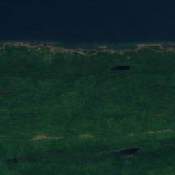
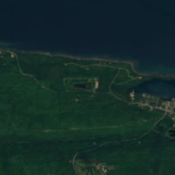
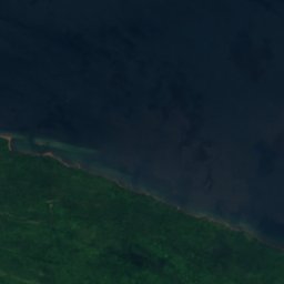
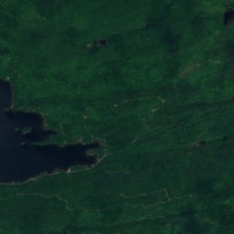
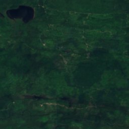
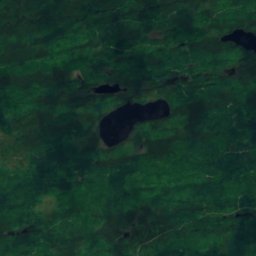
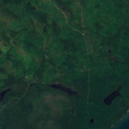
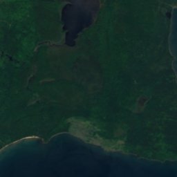
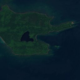
Schlatter Lake from above
Nature nearbyAll of the United States
Satellite: Sentinel-2 cloudless 2016 by EOX IT Services GmbH · CC BY 4.0 · Contains modified Copernicus Sentinel data 2016
Satellite: Sentinel-2 cloudless 2016 by EOX IT Services GmbH · CC BY 4.0 · Contains modified Copernicus Sentinel data 2016
Satellite: Sentinel-2 cloudless 2016 by EOX IT Services GmbH · CC BY 4.0 · Contains modified Copernicus Sentinel data 2016
Satellite: Sentinel-2 cloudless 2016 by EOX IT Services GmbH · CC BY 4.0 · Contains modified Copernicus Sentinel data 2016
Satellite: Sentinel-2 cloudless 2016 by EOX IT Services GmbH · CC BY 4.0 · Contains modified Copernicus Sentinel data 2016
Satellite: Sentinel-2 cloudless 2016 by EOX IT Services GmbH · CC BY 4.0 · Contains modified Copernicus Sentinel data 2016
Stay nearby
Towns close by


Around here
Copper Harbor and around
Nature


Mountains




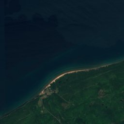
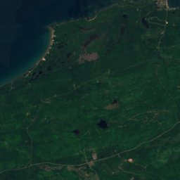
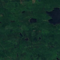
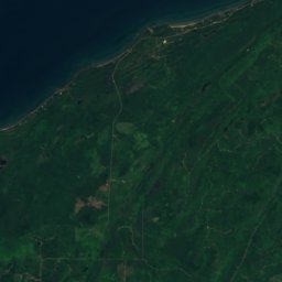
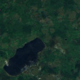


Satellite: Sentinel-2 cloudless 2016 by EOX IT Services GmbH · CC BY 4.0 · Contains modified Copernicus Sentinel data 2016
Mount Horace Greeley
1,535 ft · Superior Upland
Heritage


Copper Harbor Light
National Register of Historic Places listed place · 1848


US 41–Fanny Hooe Creek Bridge
National Register of Historic Places listed place · 1928


Keweenaw Mountain Lodge and Golf Course Complex
National Register of Historic Places listed place