
Photo: Daniel Welch · CC BY-SA 2.5 · Wikimedia Commons
Ruby BeachReport this photo · linked, not stored
Ruby BeachReport this photo · linked, not stored

Photo: Ron Clausen · CC BY-SA 4.0 · Wikimedia Commons
Abbey IslandReport this photo · linked, not stored
Abbey IslandAbbey IslandReport this photo · linked, not stored

Photo: pfly · CC BY-SA 2.0 · Wikimedia Commons
Middle Rock, WashingtonReport this photo · linked, not stored
Middle Rock, WashingtonMiddle Rock, WashingtonReport this photo · linked, not stored
BeachForks, Washington
Ruby Beach
BeachBest Jul–Sep
Elevation–above sea level
Sea, warmest56°FAugust
Nearest townForks17 mi
47.71° N, 124.42° WUTC−7 · Pacific Daylight Time
When to goForks · weather score
Best timeJul–Sep
October: high / low60° / 42°
Beach
Ruby Beach in brief
Ruby Beach is a beach in Forks, Washington, United States.
The nearest town is Forks, 17 mi to the N, where the weather is best in July, August and September.
The sea is warmest in August, at about 56°F.
Weather nearby now
Forecast for Forks41°
Rain now
Today
28 Oct
53°
35°
0.2 in
Thu
29 Oct
50°
33°
0.6 in
Fri
30 Oct
52°
32°
0.5 in
Sat
31 Oct
58°
31°
0.4 in
Sun
1 Nov
57°
28°
Model run 12:00 UTCRefreshed several times a day
Sea and air through the year
Sea surface temperature off the coast and the average daily high in La Push, month by month.Jan48°48°
Feb48°50°
Mar48°51°
Apr50°55°
May53°59°
Jun55°62°
Jul56°66°
Aug56°67°
Sep56°65°
Oct54°58°
Nov52°52°
Dec49°48°
seaair, daily high
When to go
Climate of ForksThe best months around Ruby Beach
Month score in Forks
Comfort, dry days and sunshine · out of 10014
Jan
16
Feb
25
Mar
41
Apr
61
May
65
Jun
77
Jul
76
Aug
70
Sep
48
Oct
17
Nov
15
Dec
Map
Ruby Beach from above
Nature nearbyAll of the United States


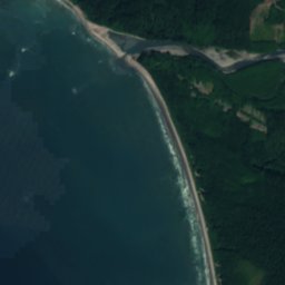


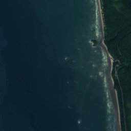

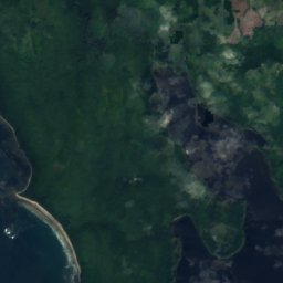
Satellite: Sentinel-2 cloudless 2016 by EOX IT Services GmbH · CC BY 4.0 · Contains modified Copernicus Sentinel data 2016
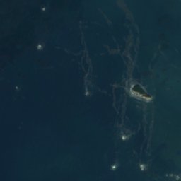
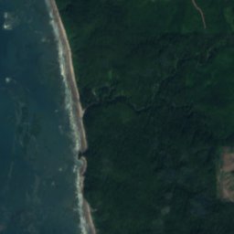
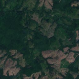
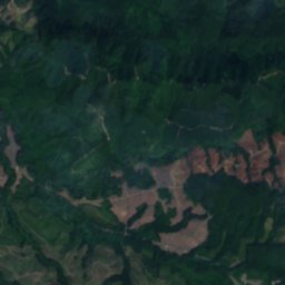

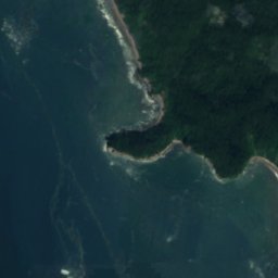

Satellite: Sentinel-2 cloudless 2016 by EOX IT Services GmbH · CC BY 4.0 · Contains modified Copernicus Sentinel data 2016


Satellite: Sentinel-2 cloudless 2016 by EOX IT Services GmbH · CC BY 4.0 · Contains modified Copernicus Sentinel data 2016







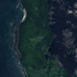
Satellite: Sentinel-2 cloudless 2016 by EOX IT Services GmbH · CC BY 4.0 · Contains modified Copernicus Sentinel data 2016
Summits nearbyMountains of the United States
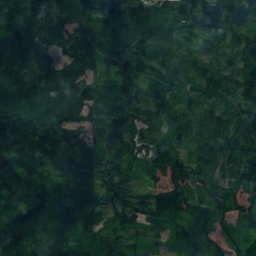
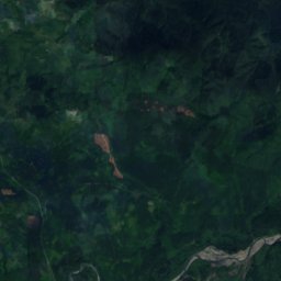
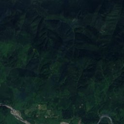
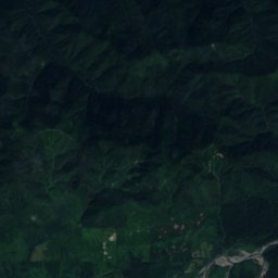
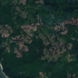
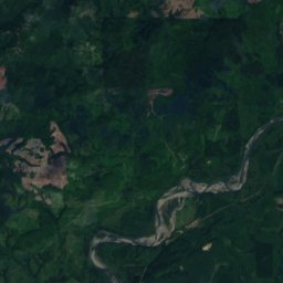
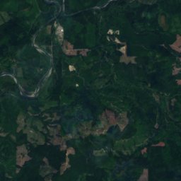
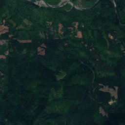
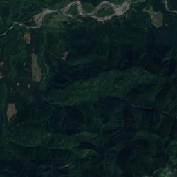
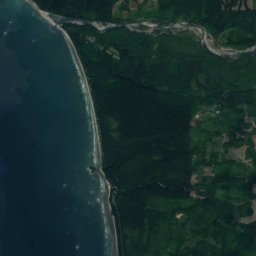
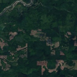
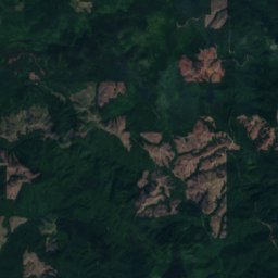
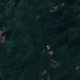
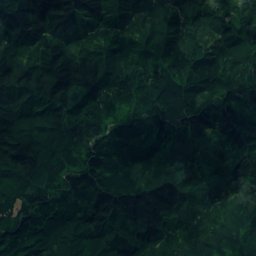
Satellite: Sentinel-2 cloudless 2016 by EOX IT Services GmbH · CC BY 4.0 · Contains modified Copernicus Sentinel data 2016

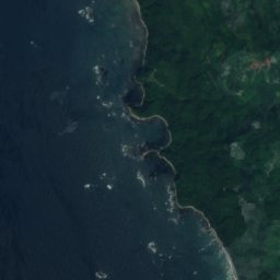
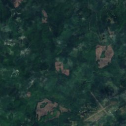

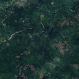
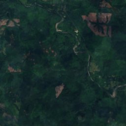

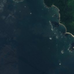
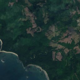
Satellite: Sentinel-2 cloudless 2016 by EOX IT Services GmbH · CC BY 4.0 · Contains modified Copernicus Sentinel data 2016
Stay nearby
Towns close by

Photo: Konrad Roeder Kgrr 06:40, 3 September 2007 (UTC) · CC BY-SA 3.0 · Wikimedia CommonsReport this photo · linked, not stored
Forks
Washington · 17 mi N
60°Oct high
18wet days
48score

Around here
Forks and around
Photo: Konrad Roeder Kgrr 06:40, 3 September 2007 (UTC) · CC BY-SA 3.0 · Wikimedia CommonsReport this photo · linked, not stored
Forks
Washington · United States
Jul–Sepbest months
72°July high
305 ftaltitude
Nature

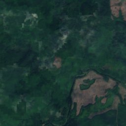
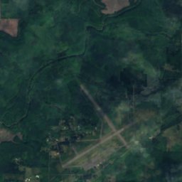
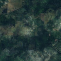
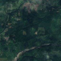
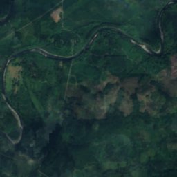
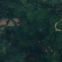
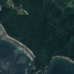
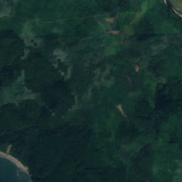
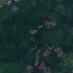
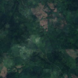
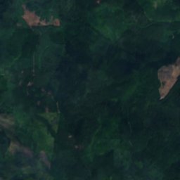
Satellite: Sentinel-2 cloudless 2016 by EOX IT Services GmbH · CC BY 4.0 · Contains modified Copernicus Sentinel data 2016
Maxfield Creek
River

Mountains
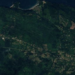
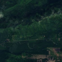
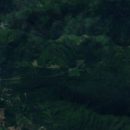
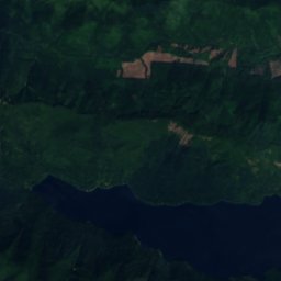
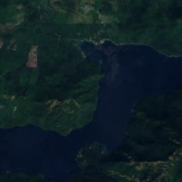
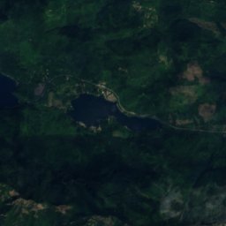
Satellite: Sentinel-2 cloudless 2016 by EOX IT Services GmbH · CC BY 4.0 · Contains modified Copernicus Sentinel data 2016
Sourdough Mountain
4,600 ft · Olympic Mountains
Satellite: Sentinel-2 cloudless 2016 by EOX IT Services GmbH · CC BY 4.0 · Contains modified Copernicus Sentinel data 2016
Mount Octopus
2,444 ft · Olympic Mountains



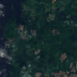
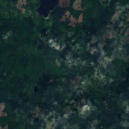

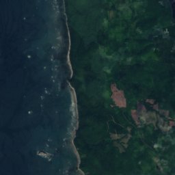
Satellite: Sentinel-2 cloudless 2016 by EOX IT Services GmbH · CC BY 4.0 · Contains modified Copernicus Sentinel data 2016
Birkestol Hill
842 ft
Museums



Satellite: Sentinel-2 cloudless 2016 by EOX IT Services GmbH · CC BY 4.0 · Contains modified Copernicus Sentinel data 2016
Forks Visitor Information Center
Visitor center