
 Petty Island
RiverPalmyra, New Jersey
Pennsauken Creek
RiverBest Apr · Sep–Oct
Elevation–above sea level
Area–surface
Nearest townPalmyra1.8 mi
39.99° N, 75.05° WUTC−4 · Eastern Daylight Time
When to goPalmyra · weather score
Best timeApr · Sep–Oct
October: high / low67° / 47°
River
Pennsauken Creek in brief
Pennsauken Creek is a river in Palmyra, New Jersey, United States.
The nearest town in the atlas is Palmyra, 1.8 mi to the NE, where the weather is best in April, September and October.
Weather nearby now
Forecast for Palmyra57°
Sunny now
Today
22 Oct
67°
43°
Fri
23 Oct
59°
43°
Sat
24 Oct
60°
38°
Sun
25 Oct
63°
38°
Mon
26 Oct
67°
41°
Model run 00:00 UTCRefreshed several times a day
When to go
Climate of PalmyraThe best months around Pennsauken Creek
Month score in Palmyra
Comfort, dry days and sunshine · out of 10034
Jan
34
Feb
37
Mar
71
Apr
66
May
52
Jun
43
Jul
49
Aug
73
Sep
77
Oct
53
Nov
30
Dec
Map
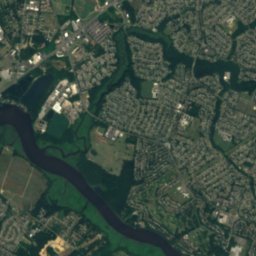
Pennsauken Creek from above
Nature nearbyAll of the United States

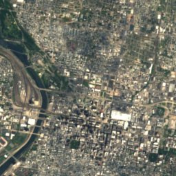
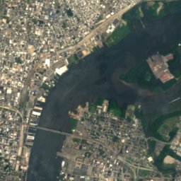
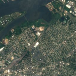
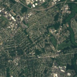
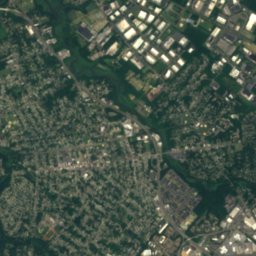
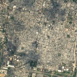
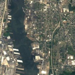
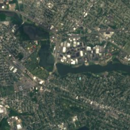
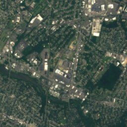
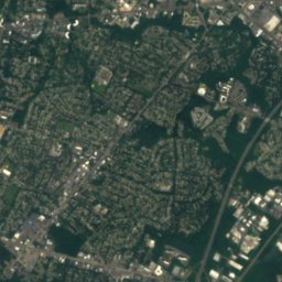
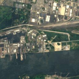
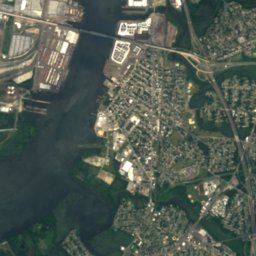
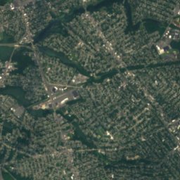
Satellite: Sentinel-2 cloudless 2016 by EOX IT Services GmbH · CC BY 4.0 · Contains modified Copernicus Sentinel data 2016
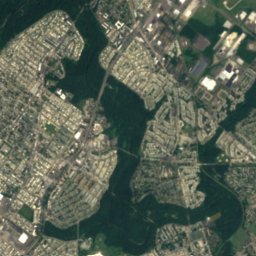
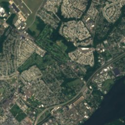
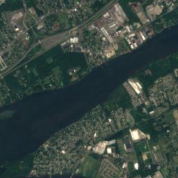
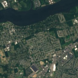
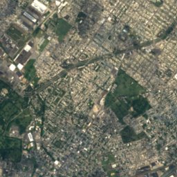
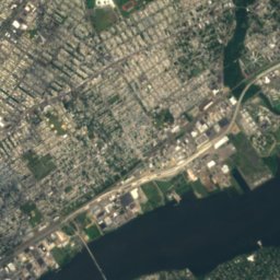
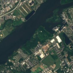
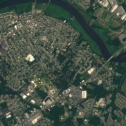
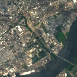
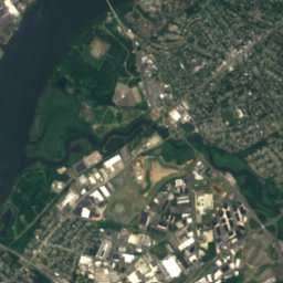
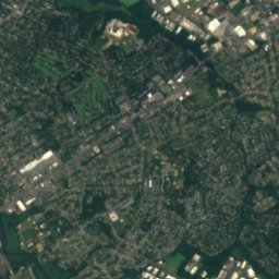
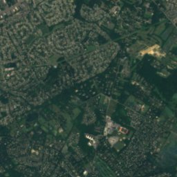
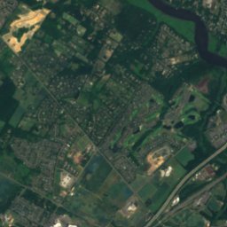
Satellite: Sentinel-2 cloudless 2016 by EOX IT Services GmbH · CC BY 4.0 · Contains modified Copernicus Sentinel data 2016
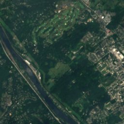
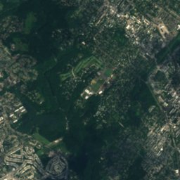
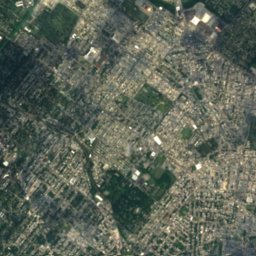
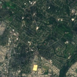
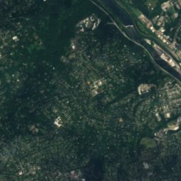
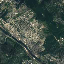
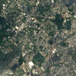
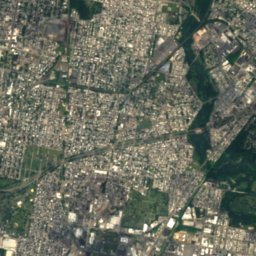
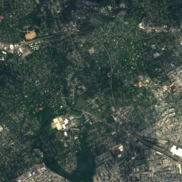
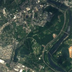
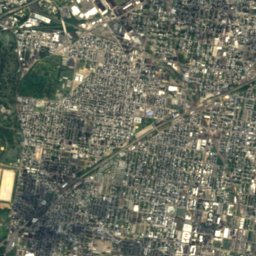
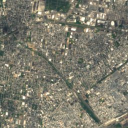
Satellite: Sentinel-2 cloudless 2016 by EOX IT Services GmbH · CC BY 4.0 · Contains modified Copernicus Sentinel data 2016
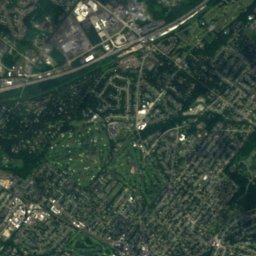
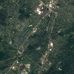
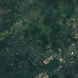
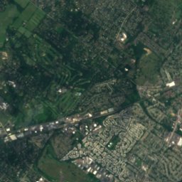
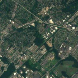
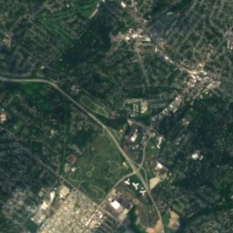
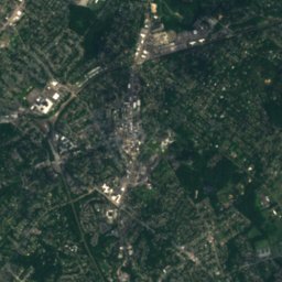
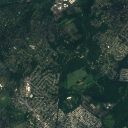
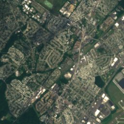
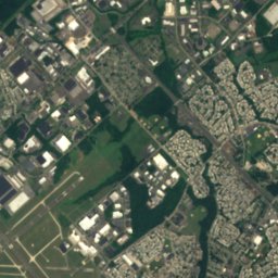
Satellite: Sentinel-2 cloudless 2016 by EOX IT Services GmbH · CC BY 4.0 · Contains modified Copernicus Sentinel data 2016
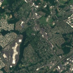
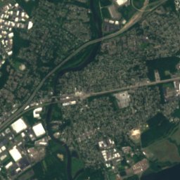
Satellite: Sentinel-2 cloudless 2016 by EOX IT Services GmbH · CC BY 4.0 · Contains modified Copernicus Sentinel data 2016
Summits nearbyMountains of the United States
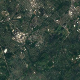
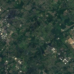
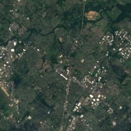
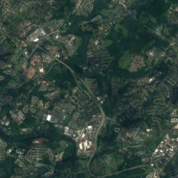
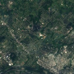
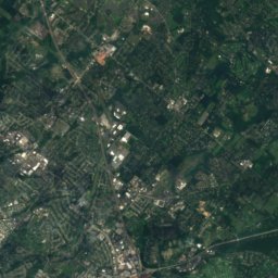
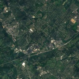
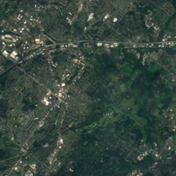
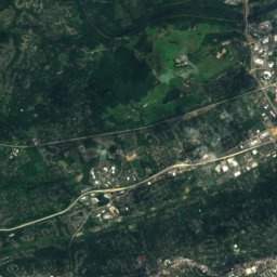
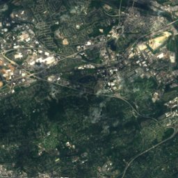
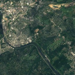
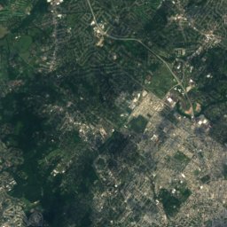
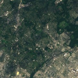
Satellite: Sentinel-2 cloudless 2016 by EOX IT Services GmbH · CC BY 4.0 · Contains modified Copernicus Sentinel data 2016
Stay nearby
Towns close by


Photo: Sanoyes at English Wikipedia · Public domain · Wikimedia CommonsReport this photo · linked, not stored
Riverton
New Jersey · 2.5 mi NE
67°Oct high
10wet days
77score

Photo: Jerrye & Roy Klotz, MD · CC BY-SA 3.0 · Wikimedia CommonsReport this photo · linked, not stored
Merchantville
New Jersey · 3.1 mi S
67°Oct high
9wet days
77score
Around here
Palmyra and around
Nature
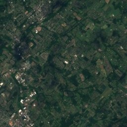
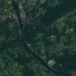
Satellite: Sentinel-2 cloudless 2016 by EOX IT Services GmbH · CC BY 4.0 · Contains modified Copernicus Sentinel data 2016
Pennypack Creek
River
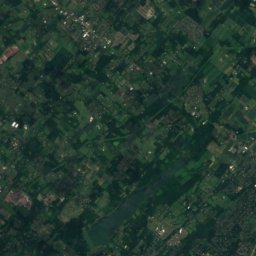
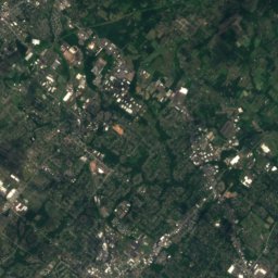
Satellite: Sentinel-2 cloudless 2016 by EOX IT Services GmbH · CC BY 4.0 · Contains modified Copernicus Sentinel data 2016
Byberry Creek
River
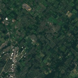
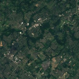
Satellite: Sentinel-2 cloudless 2016 by EOX IT Services GmbH · CC BY 4.0 · Contains modified Copernicus Sentinel data 2016
Wingohocking Creek
River
Mountains
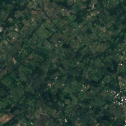
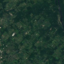
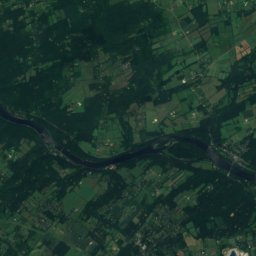
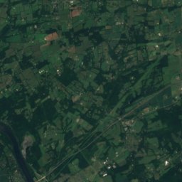
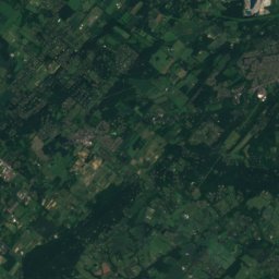
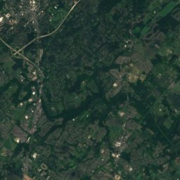
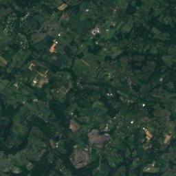
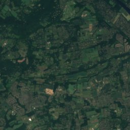
Satellite: Sentinel-2 cloudless 2016 by EOX IT Services GmbH · CC BY 4.0 · Contains modified Copernicus Sentinel data 2016
Buckingham Mountain
520 ft
Satellite: Sentinel-2 cloudless 2016 by EOX IT Services GmbH · CC BY 4.0 · Contains modified Copernicus Sentinel data 2016
Lafayette Hill
276 ft
Heritage

Satellite: Sentinel-2 cloudless 2016 by EOX IT Services GmbH · CC BY 4.0 · Contains modified Copernicus Sentinel data 2016
Hamilton Disston School
National Register of Historic Places listed place

Museums


