
Photo: Wiki Galactic · CC BY-SA 4.0 · Wikimedia Commons
McGovern LakeReport this photo · linked, not stored
McGovern LakeReport this photo · linked, not stored

Photo: Scott Ehardt · Public domain · Wikimedia Commons
White Oak BayouReport this photo · linked, not stored
White Oak BayouWhite Oak BayouReport this photo · linked, not stored

Photo: EvanCarroll · CC BY-SA 4.0 · Wikimedia Commons
Heron Lake, TexasReport this photo · linked, not stored
Heron Lake, TexasHeron Lake, TexasReport this photo · linked, not stored

Photo: EvanCarroll · CC BY-SA 4.0 · Wikimedia Commons
Willow Lake, Missouri CityReport this photo · linked, not stored
Willow Lake, Missouri CityWillow Lake, Missouri CityReport this photo · linked, not stored

Photo: EvanCarroll · CC BY-SA 4.0 · Wikimedia Commons
Scout Lake, TexasReport this photo · linked, not stored
Scout Lake, TexasScout Lake, TexasReport this photo · linked, not stored
LakeHouston, Texas
McGovern Lake
LakeBest Feb–Mar · Nov
Elevation–above sea level
Area–surface
Nearest townHouston3.6 mi
29.72° N, 95.39° WUTC−5 · Central Daylight Time
When to goHouston · weather score
Best timeFeb–Mar · Nov
October: high / low83° / 62°
Lake
McGovern Lake in brief
McGovern Lake is a lake in Houston, Texas, United States.
The nearest town in the atlas is Houston, 3.6 mi to the NE, where the weather is best in February, March and November.
Weather nearby now
Forecast for Houston74°
Sunny now
Today
22 Oct
87°
63°
Fri
23 Oct
87°
61°
Sat
24 Oct
85°
63°
Sun
25 Oct
82°
65°
Mon
26 Oct
85°
64°
Model run 00:00 UTCRefreshed several times a day
Map
McGovern Lake from above
Nature nearbyAll of the United States

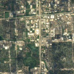
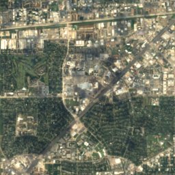
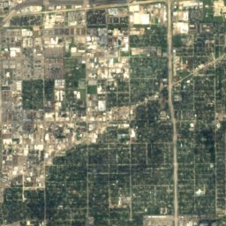
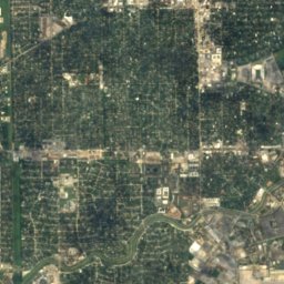
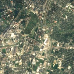
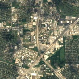
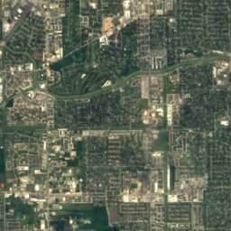
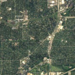
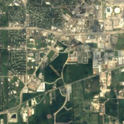
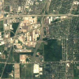
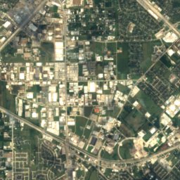
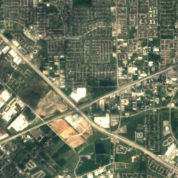
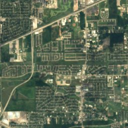
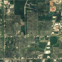
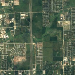
Satellite: Sentinel-2 cloudless 2016 by EOX IT Services GmbH · CC BY 4.0 · Contains modified Copernicus Sentinel data 2016


Stay nearby
Towns close by

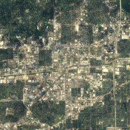
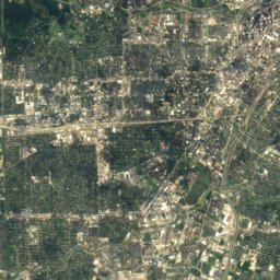
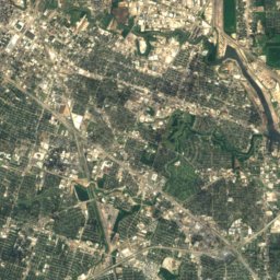
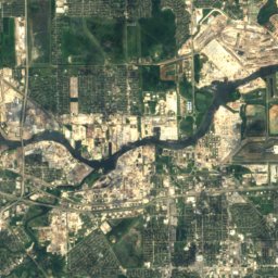
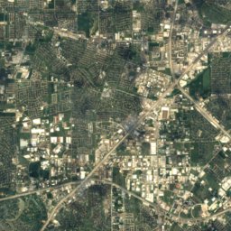
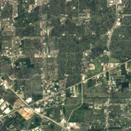
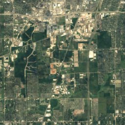
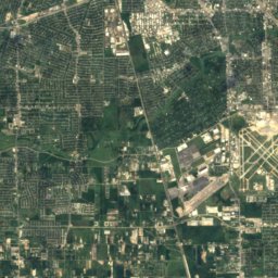
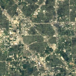
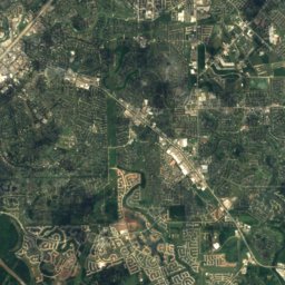
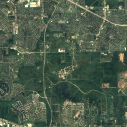
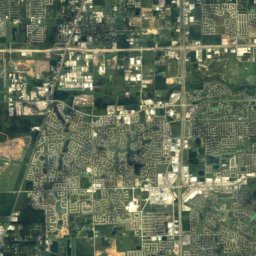
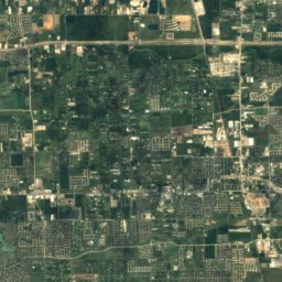
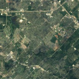
Satellite: Sentinel-2 cloudless 2016 by EOX IT Services GmbH · CC BY 4.0 · Contains modified Copernicus Sentinel data 2016
Brookside Village
Texas · 9.8 mi SE
83°Oct high
10wet days
64score
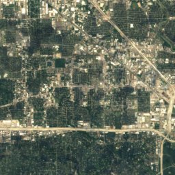
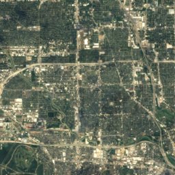
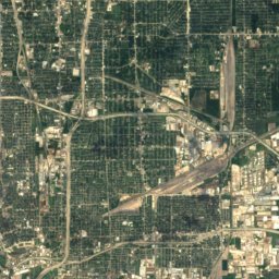
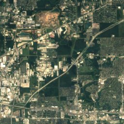
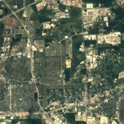
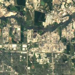
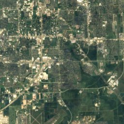
Satellite: Sentinel-2 cloudless 2016 by EOX IT Services GmbH · CC BY 4.0 · Contains modified Copernicus Sentinel data 2016
South Houston
Texas · 10 mi E
82°Oct high
10wet days
65score

Around here
Houston and around
Nature

Photo: Mikael Häggström, M.D. Author info - Reusing images- Conflicts of interest: None · CC0 · Wikimedia CommonsReport this photo · linked, not stored
Brays Bayou
River · 7 ft

Heritage

Photo: Owen Johnson, photographer. Historic American Buildings Survey, Heritage Documen · Public domain · Wikimedia CommonsReport this photo · linked, not stored
Houston City Hall
National Register of Historic Places listed place · 1939

Photo: Ed Uthman, Houston, Texas, USA · CC BY 3.0 · Wikimedia CommonsReport this photo · linked, not stored
Scanlan Building
National Register of Historic Places listed place · 1909

Photo: Ed Uthman, Houston, Texas, USA · CC BY 3.0 · Wikimedia CommonsReport this photo · linked, not stored
1910 Harris County Courthouse
National Register of Historic Places listed place · 1907


